Finalist
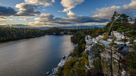
Saving the Shawangunks
Open Spaces Institute
By Kelly Proctor and Kae Yamane
To learn more about why we chose these entries, visit the blog.
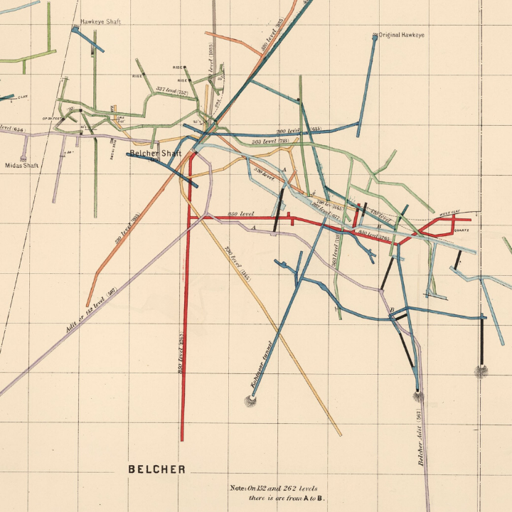
This incredible story shows views of the Comstock Lode and historical maps of Virginia City mining claims. It uses engaging text and handsome images of historical maps to set the historical context. Then, the authors describe how old maps were digitized and combined with elevation data and mine depths to generate bird’s-eye views from above—and miner’s eye views from beneath the surface.
To create this story map, librarians at Stanford University combed through nearly 1,500 mining maps and extracted data to make digital three-dimensional (3D) models.
By Andria Olson and Julie Sweetkind-Singer of the Branner Earth Sciences Library & Map Collections at Stanford University
These four finalists were chosen from among hundreds of entries created by government agencies, nonprofits, research institutions, and passionate individuals.
Saving the Shawangunks
Open Spaces Institute
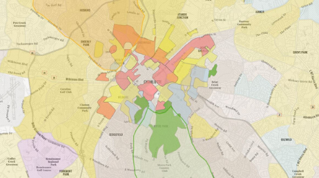
Clearing the Air in the Historic West End
Clean Air Carolina
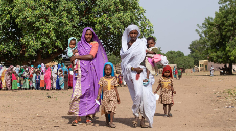
Working with a blindfold
Médecins Sans Frontières
The Hunt for Delaware Boundary Monuments
University of Delaware