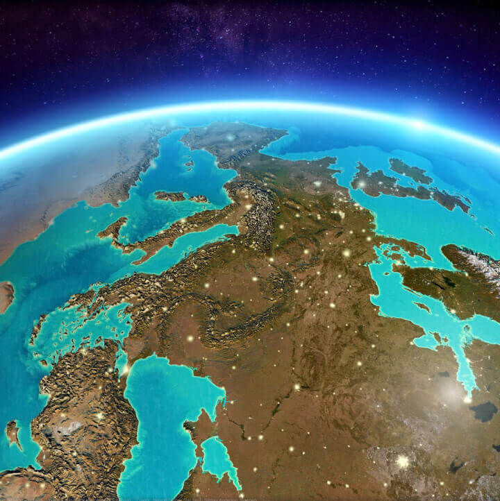
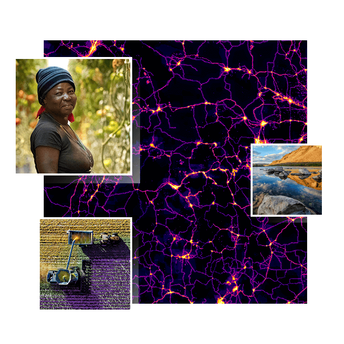
Skip to Content

2022 ArcGIS StoryMaps Competition

For data visualization

The challenge is now closed.

Go to the 2022 Winners Gallery
A woman in glasses and a toque smiles and writes on a laptop next to a vibrant map of data and images of a desert and a city

Global storytelling competition

Esri is pleased to announce the 2022 ArcGIS StoryMaps Competition.

previous
Next
A dark theme map with urple and green dots scattered across the Atlantic Ocean and along the European, African, and American coastlines

Showcase your stellar data visualization skills

The 2022 ArcGIS StoryMaps Competition invites storytellers globally to build stories that communicate an idea, challenge, or solution through innovative data visualization techniques.

Story submissions might cover the following topics:

  • Wildfire outlook and trends
  • Electric vehicle station access
  • Global food insecurity
  • Tree-shade equity in a metropolitan area
  • Air-quality trends
  • Climate trends over time and across locations 
Explore sample stories

Key dates and submission deadlines

SUBMISSION DEADLINE

  • October 7, 2022, 5:00 p.m. (PT)

WINNERS ANNOUNCED

  • November 16, 2022
A computer monitor displaying an ArcGIS StoryMaps story about the Mariana Trench

Recognition

All competition winners and runners-up will receive an Esri certificate and be featured on the Esri website and social media platforms.

All competition winners will also receive the following:

  • One Esri Press book selected from a list of popular Esri books
  • An interview with Esri's StoryMaps team to be published on ArcGIS Blog
A computer monitor displaying an ArcGIS StoryMaps story about sea ice and ocean warming

Requirements

The 2022 ArcGIS StoryMaps Competition invites storytellers globally, 18 years of age or older, to submit stories in one of the following five categories:

  • Digital humanities and popular culture
  • Health and safety
  • Humanitarian and social justice
  • Nature and physical science
  • Planning and infrastructure

The applicant may enter this competition one time with a new and unique submission. An applicant may be defined as being either an individual or a group submitting one entry.

A computer monitor displaying a chart of median high tide flood days per year with the title “US High Tide Flooding and Coastal Sea Levels”

Judging criteria

All eligible 2022 ArcGIS StoryMaps Competition entries will be evaluated by a guest judge panel and Esri's StoryMaps team.

Guest judges will select a winner and runner-up in each category based on the following criteria:

  • Overall design, impact, and originality
  • Effective use of GIS and ArcGIS StoryMaps
  • Innovative data visualization

Esri's StoryMaps team will also select winners in the following three special categories:

  • Best map choreography
  • Most effective visual language
  • Most innovative use of data for storytelling

Note: Entries must be built using ArcGIS StoryMaps.

A computer monitor displaying a portrait of Kathy Sullivan and information about the Challenger Deep expedition

Terms and conditions

By entering, you agree to the competition's terms and conditions.

Review terms and conditions
A computer monitor displaying a map with satellite imagery and traffic patterns that are visualized using blue, green, and pink lines

Get inspiration for your story

Explore the 2021 winning stories

Visit the gallery

Build your story with ArcGIS StoryMaps

Sign in with an ArcGIS account

Don't have an Esri account?

Create one now