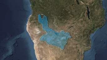
Okavango Explore
Discover how The National Geographic Okavango Wilderness Project, in partnership with The Wild Bird Trust, enlists EarthViews’ 360° imagery to map waterways and conserve the Okavango.
Included with ArcGIS user types
Digital storytelling with maps
Demonstrate the impact of location-specific connections with digital stories and slides that put your dynamic maps and data front and center.
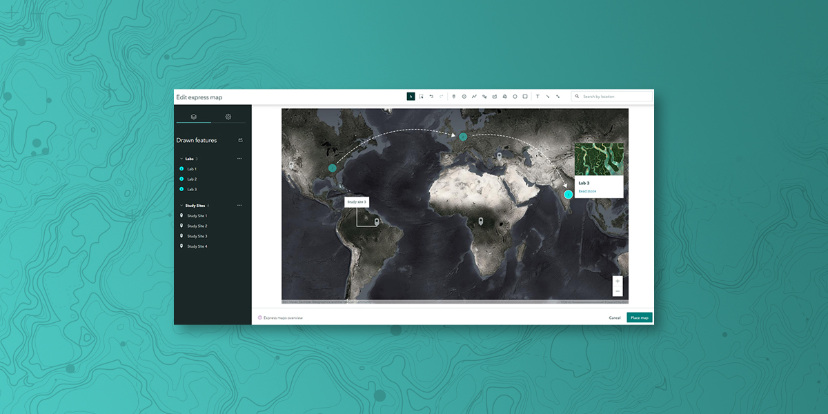
Express maps, unique to ArcGIS StoryMaps, enable you to create custom maps that are artful and informative. Design your own interactive express map in minutes and add points, pop-ups, and arrows to enhance your stories and briefings. Your readers can interact with an express map without leaving your story or presentation.
You can also use your existing ArcGIS web maps and web scenes, create a new map using Esri demographic and lifestyle data, or choose from a curated collection of ready-to-use maps from the ArcGIS Living Atlas of the World.
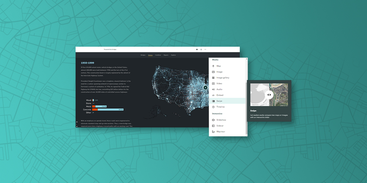
Use a flexible, easy-to-use builder to weave together maps, 3D scenes, embedded content, video, photos, text, audio, and more into a digital story or presentation. With advanced image editing, you can crop, resize, and adjust your images right from the builder. Tell your story and make an impact on your audience, wherever they are.
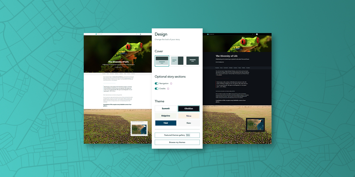
The art of storytelling is at your fingertips. Transform the look and feel of your stories, briefings, and collections with the click of a button. Choose from a selection of beautiful, pre-designed themes, or create your own to capture your brand.
Select a theme that fits your narrative or presentation best—there is no need to style each element individually. Impress your audience with polished, professional-looking content that demonstrates your storytelling skills.
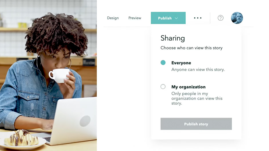
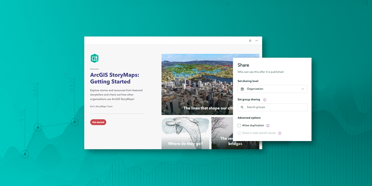
Increase your visibility and influence in your organization. Publish stories and briefings as a standalone narrative or in a collection. Share ArcGIS StoryMaps content with stakeholders via a link, embed it within your website, and circulate it across social platforms using built-in tools. Understand the impact of your digital storytelling with analytics that give you clear insights into your audience and how they are engaging with your content.
Discover how The National Geographic Okavango Wilderness Project, in partnership with The Wild Bird Trust, enlists EarthViews’ 360° imagery to map waterways and conserve the Okavango.
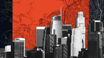
The boundaries of cities are expanding in the United States. As the boundaries of our cities stretch to accommodate a burgeoning population and its economic activities, they exert pressure on the surrounding environment.

A collection of stories created by The Nature Conservancy demonstrate how, despite covering less than 1 percent of the Earth's surface, freshwater ecosystems contain 10 percent of the world’s known species and support the livelihoods of billions of people.
ArcGIS provides a comprehensive set of capabilities for creating, managing, analyzing, and mapping geographic information. Gain access to the capabilities of this application, included in ArcGIS, with user types. Match user types to roles within your organization.
