Skip to Content
ArcGIS StoryMaps

ArcGIS StoryMaps

Storytelling that resonates

Transform your GIS-based maps into digital stories

Go to pricing
A computer monitor displaying an article with text and aerial imagery of land captured from the Landsat satellite

Inform, inspire, and influence with storytelling

ArcGIS StoryMaps helps you tell remarkable stories with geographic information system (GIS)-based maps that inform and inspire.

A digital story can effect change, influence opinion, and create awareness—and maps are an integral part of storytelling. ArcGIS StoryMaps is a built-in feature of the ArcGIS system that gives your narrative a stronger sense of place, illustrates spatial relationships, and adds visual appeal and credibility to your ideas.

Use a simple mapmaker to create maps that enhance your digital story. Or add text, photos, and videos to your existing ArcGIS web maps and web scenes to create an interactive narrative that's easy to publish and share.

Storytelling with maps has never been easier

Effect change and influence opinion with your custom maps.

A laptop monitor displaying maps and satellite imagery of five stories with a right arrow play button overlayed

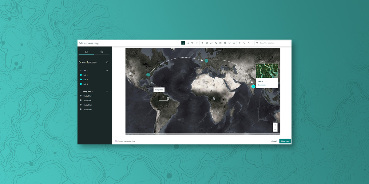
Simple mapmaking

With express maps, you have the power to create custom maps that are artful and informative, without leaving your story. Design your own interactive map in minutes and add points, pop-ups, and arrows to enhance your story. You can also use your existing ArcGIS web maps and web scenes, create a new map using Esri demographic and lifestyle data, or choose from a curated collection of ready-to-use maps from ArcGIS Living Atlas of the World.

Read the blog
A black and white map with three green circles on the east coast of North America, Northern Europe, and India

Digital storytelling on your terms

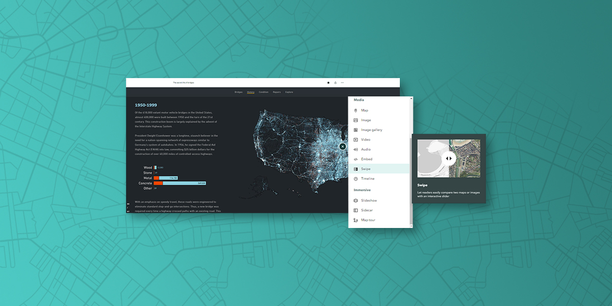
Use a flexible, easy-to-use builder to weave your content together (videos, photos, and more) into a compelling and interactive narrative that's easy to publish and share. Tell your story and make an impact on your audience members wherever they are.

A blue and black digital map showing bridges in the United States with a white popup box with text and icons

Incorporate stylish, modern designs

Transform the look and feel of your story and maps with the click of a button. Easily try different design themes or create your own. Select a theme that fits your narrative best—there's no need to style each element individually. Impress your audience with polished, professional-looking content that demonstrates your storytelling skills. The art of storytelling is at your fingertips.
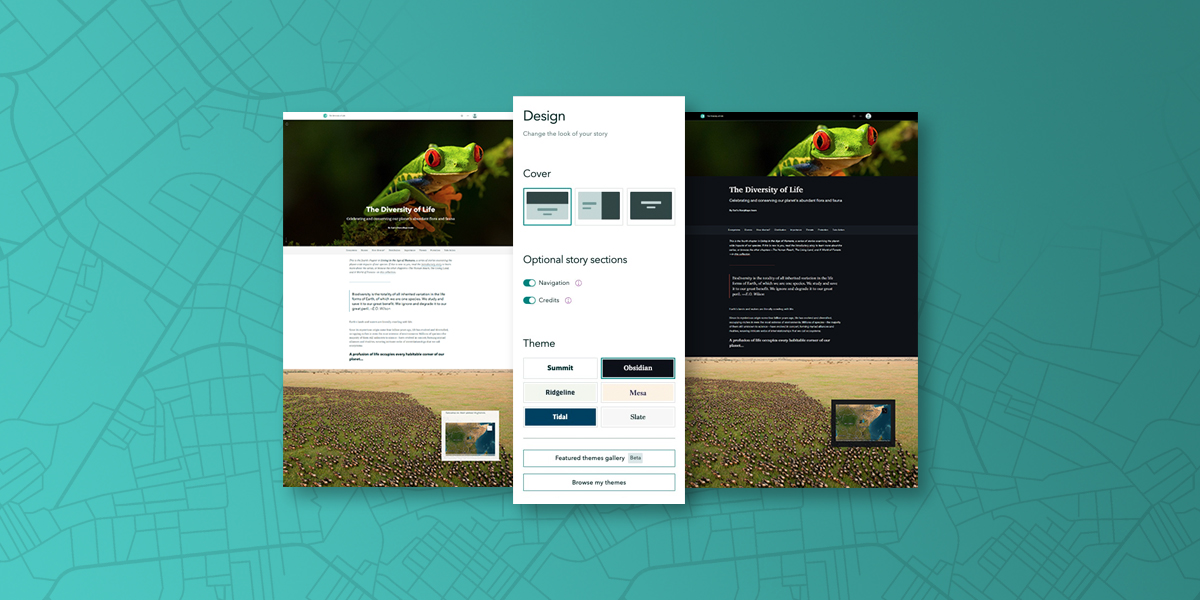
A webpage with a bright green frog image and text with an inset white popup box representing a design menu

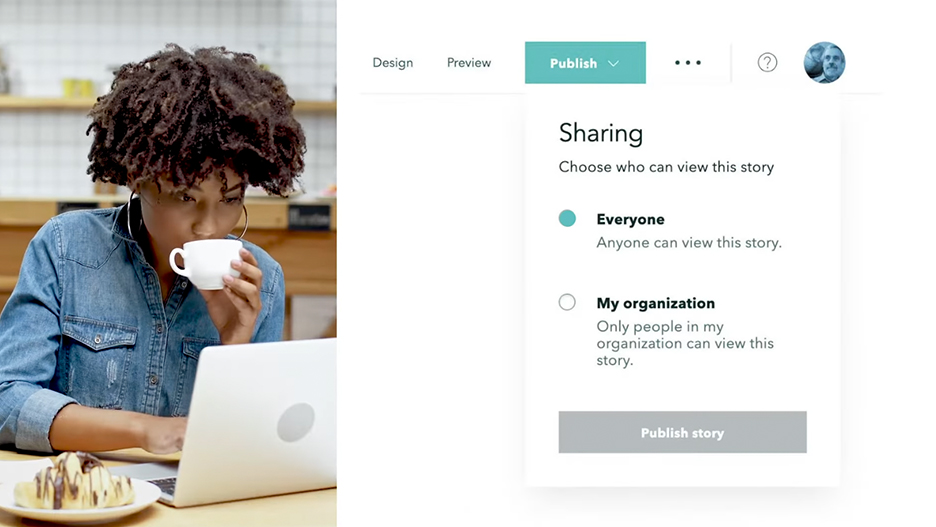
Reach your audience, wherever they are

Increase your visibility and influence in your organization. Share your story or a collection of stories via a link, embed it within your website, and circulate it across social platforms using built-in tools that make it easy to share. Understand impact with analytics that give you insight into your audience and how they are engaging with your content.
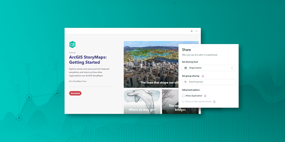
A webpage with the words ArcGIS StoryMaps in blue with an inset image of a white popup box with text and icons

Enhance presentations with briefings

Synthesize critical information and maintain mission readiness with a new horizontal presentation style called briefings in ArcGIS StoryMaps. Provide meaningful context with real-time maps and data and unify images, videos, and documents all in one place. Try briefings in beta now and experience the exciting new capabilities coming soon.

Explore briefings
A tablet display of a Briefing presentation with a menu of slides on one side

Discover some of our favorite stories

Find your inspiration. View our curated selection of digital stories.

previous
Next
Explore our story albums

A built-in feature of the ArcGIS system

ArcGIS StoryMaps is part of the ArcGIS system, allowing you to immediately leverage your ArcGIS web maps. Maximize on the investment you already own with ArcGIS Enterprise, ArcGIS Online, and ArcGIS Pro. Simply sign in with your Creator or GIS Professional user type to get started.

Sign in to ArcGIS StoryMaps
ArcGIS Enterprise

ArcGIS Enterprise

With a Creator user type, users can create maps, perform spatial analyses, and share their results using ArcGIS StoryMaps.

Explore ArcGIS Enterprise
ArcGIS Online

ArcGIS Online

With a Creator user type, users can create maps, perform spatial analyses, and share their hosted content using ArcGIS StoryMaps.

Explore ArcGIS Online
ArcGIS Pro

ArcGIS Pro

With a GIS Professional user type, users can build advanced maps and perform visualizations and analyses using ArcGIS Pro, the professional desktop GIS software. ArcGIS Pro also includes ArcGIS StoryMaps.

Explore ArcGIS Pro
person-administrator-48

Contact sales

Talk to someone on our sales team

1-800-447-9778

7:00 a.m.–5:00 p.m., Monday through Friday (PT)

Outside the US?