Long-range and current planners
Share and communicate your vision clearly.
WEBINAR
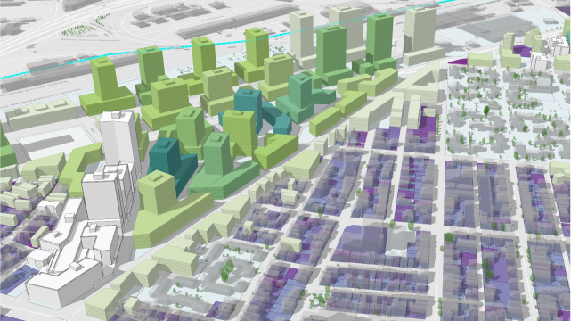
Digital engagement strategies help remove geographical and physical limitations with stakeholders, opening up participation to a wider range of perspectives. With real-time feedback, 3D visualizations, and easy access to planning information, ArcGIS Urban helps planners foster collaboration and co-creation among stakeholders for more inclusive decision-making throughout the planning process.
Please share your information and our sales team will contact you soon. We look forward to communicating with you.