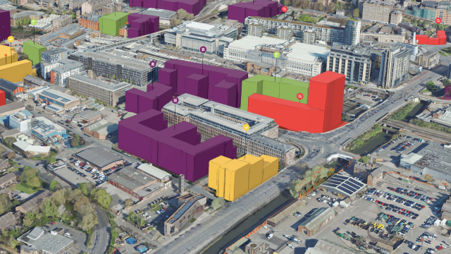
Skip to Content

Development Review

Streamline the development review process from years to months with ArcGIS Urban. Establish a digital twin, standardized spatial analysis, and a shared view of activity across the city.

Visualize and track projects

Improve communication with elected officials, community leaders, and residents regarding the ongoing status of current and past projects.

Analyze shadow and viewshed

Web-based spatial analysis tools can be used to easily evaluate inbound proposals in their real-world context.

Enable public feedback

Break down the communication barrier by supporting web-based public feedback for a specific duration.

Sketch quick concepts

Start creating concept sketches anywhere in the city with building creation tools and an out-of-the-box 3D model library.

Schedule a demo

Buy ArcGIS Urban

Buy now