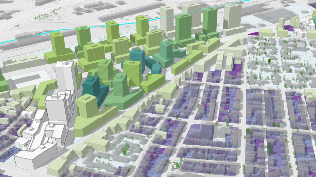
Urban Design and Visualization
ArcGIS Urban is integrated with ArcGIS CityEngine, a desktop procedural modeling tool. CityEngine can transform massing studies into detailed urban designs for visualization and virtual reality experiences.
Design advancement and visualization
CityEngine connects directly to plans and projects in ArcGIS Urban for design advancement and visualization of detailed building facades and streetscapes.
Share a virtual walking tour
Create custom VR templates for Unreal Engine to gain more buy-in and ensure that residents can experience the visuals during community workshops.
Conduct real-time analysis
Evaluate viewshed and other spatial characteristics of projects with exploratory analysis tools.
Create custom procedural rules
Write and edit your own Computer-Generated Architecture (CGA) rules, a unique programming language to generate architectural 3D content.
Schedule a demo
Buy ArcGIS Urban
opens in new window