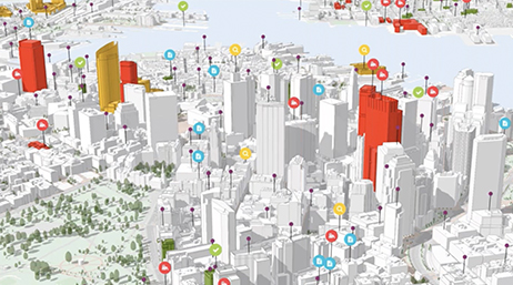
What's New In ArcGIS Urban (June 2023 Release)

Webinars

Esri offers webinars to present the latest advancements in urban design software and share best practices for urban planners. Attend a live virtual session or access recordings of previous webinars to discover how ArcGIS Urban can streamline the urban planning process for your organization.
Upcoming webinars
Register today to attend our upcoming live webinars.
Webinar
Getting Started with ArcGIS Urban
Date: September 27, 2023
Time: 9:00 a.m.–10:00 a.m. (PT)
Location: Virtual
Cost: No cost
Language: English
Did you know that you can create an urban model of your neighborhood, town, or city without needing 3D data? With ArcGIS Urban, you can generate a 3D model with buildings and trees for any location worldwide in just minutes. Join our upcoming webinar to learn how to use 3D modeling and analysis to create new urban models for your planning work.
Past webinars
-
See what's new in the summer 2023 release of ArcGIS Urban.
Play this recording -
3 Strategies for Practical Digital Engagement
Discover three innovative digital strategies to boost community engagement with ArcGIS Urban and ArcGIS Hub.Play this recording -
Digital Twin Strategies for Urban Planning
Learn how digital twins facilitate informed decision-making and help identify sustainable development opportunities.Play this recording -
Integrated Methods for Regional Planning
Regional planning agencies adopt modern GIS approaches for transboundary issues like climate change, equity, and sustainable growth.Play this recording -
What’s New in ArcGIS Urban (February 2023)
Learn how to export individual plan scenarios for use in external websites, custom applications, and StoryMaps.Play this recording -
Assess the Impacts of Urban Plans with Custom KPIs
Learn how ArcGIS Urban can calculate key performance indicators (KPIs) for any 3D scenario.Play this recording -
What's New in ArcGIS Urban (October 2022) Release
Discover new features that we added with our October 2022 release of ArcGIS Urban.Play this recording -
Shaping the Future of European Cities
Explore how experts are using urban planning spatial tools in Europe.Play this recording -
Intro to ArcGIS Urban API
Learn how to make urban planning easy with the ArcGIS Urban API.Play this recording -
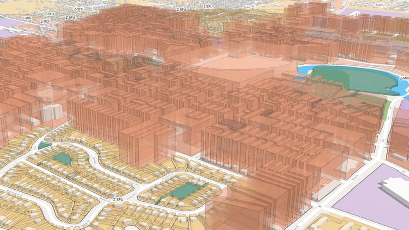
Regional Planning with ArcGIS Urban
Discover how to solve regional planning challenges.Play this recording -
What's New in ArcGIS Urban (June 2022) Release
Discover the new capabilities we added to our June 2022 release of ArcGIS Urban.Play this recording -
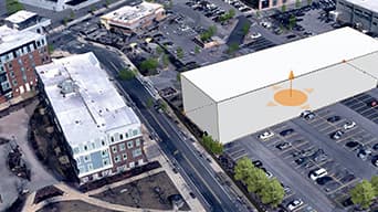
Extended Design Workflows for ArcGIS Urban
Discover Esri's powerful urban planning and design solution. In this webinar learn how ArcGIS Urban and CityEngine work together.Play this recording -
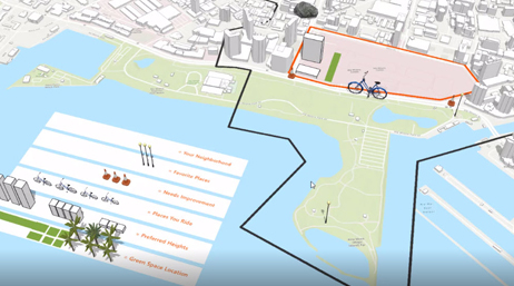
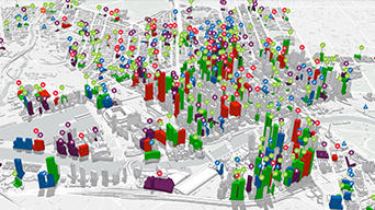
Planning for Equity and Inclusion
Learn how to use a modern workflow that enables cities to map equity data and engage the public at every step of the planning process.Play this recording -
What's New in ArcGIS Urban (Feb 2022) Release
Discover new capabilities we've added with our February 2022 release.Play this recording -
Reconnecting Communities with ArcGIS Urban
Explore how you can use ArcGIS Urban to envision development alternatives for reconnecting communities.Play this recording -
What’s New in ArcGIS Urban Fall 2021
Learn about a range of new capabilities and enhancements in the fall 2021 release of ArcGIS Urban.Play this recording -
Using maps for participatory planning
Learn how to enable a web-based approach to participatory planning by implementing four types of spatial analysis for online events.Play this recording -
What’s New in ArcGIS Urban Summer 2021
Learn about the exciting, new enhancements in the summer release of ArcGIS Urban including suitability modeling, building sketching, and more.Play this recording -
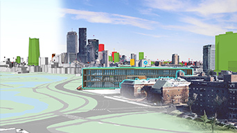
Digital Twins in Urban Planning and AEC
Access this webinar to learn the top five ways city-scale digital twins are solving business challenges and transforming urban planning and AEC.Play this recording -
What’s New Fall 2020
Discover new enhancements from the fall 2020 release of ArcGIS Urban including parcel exploration, the beta release for the Urban API, and more.Play this recording -
Top 5 New Features in ArcGIS Urban: Summer 2020
Explore how planners and design professionals can improve consistency and collaboration across teams by using a web-based, 3D application.Play this recording -
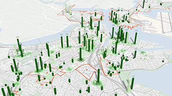
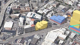
3D Solutions for Analyzing Growth Capacity
Access this webinar to learn how cities are using ArcGIS Urban to create, evaluate, and communicate plans within their communities.Play this recording -
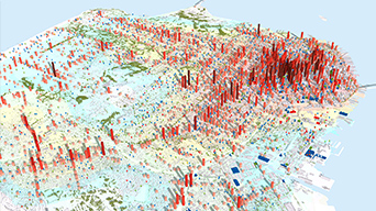
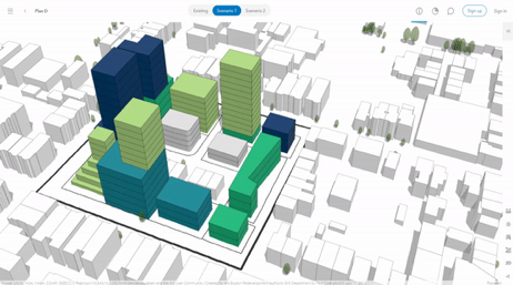
Scenario Planning Re-imagined
Discover how the City of Boulder is using ArcGIS Urban to conduct scenario planning, understand existing conditions, and more.Play this recording -
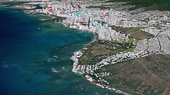
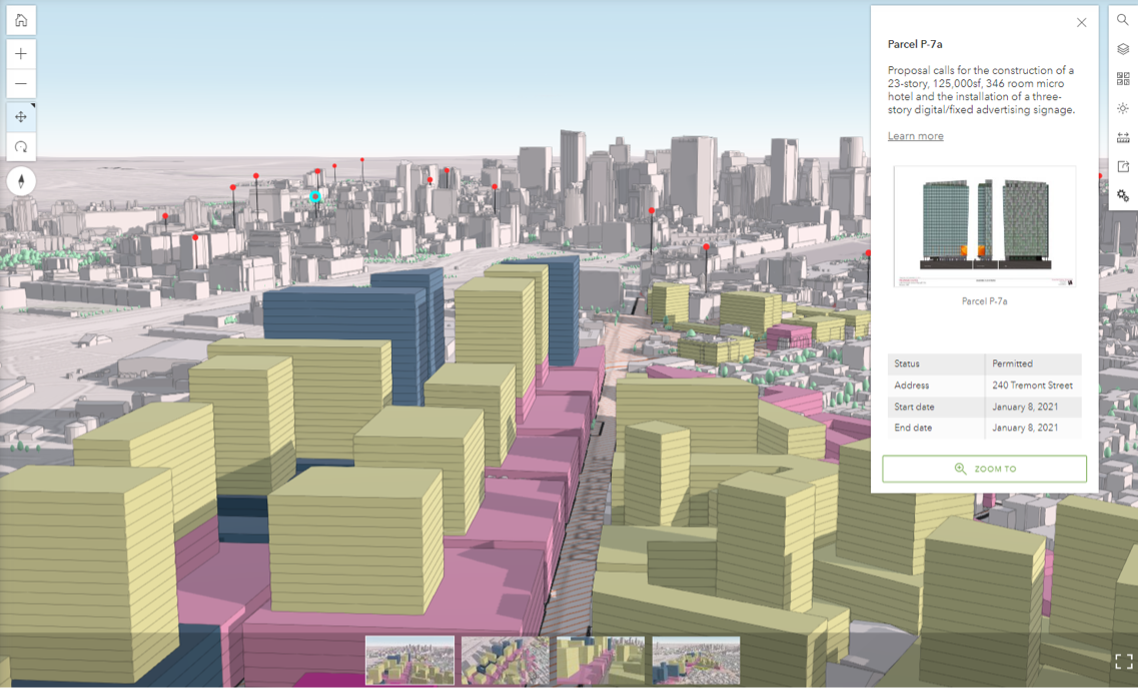
Redevelopment Assessment for City of Honolulu
Discover how the City and County of Honolulu are using ArcGIS Urban and the integration of BIM with GIS to model land redevelopment and more.Play this recording -
ArcGIS Urban: An Introduction
ArcGIS Urban delivers an immersive 3D experience designed to improve urban planning and decision-making by leveraging location intelligence.Play this recording
Stay connected on Twitter
Get the latest news and updates on ArcGIS Urban.
ArcGIS Urban user group on LinkedIn
Managed by the product team at Esri, this LinkedIn group delivers relevant ArcGIS Urban content directly to our users.
Visit the ArcGIS Blog
Explore articles from the ArcGIS Urban team. Connect with us to ask questions and learn more.