
Select
Add your map in ArcGIS Pro
Included with the Professional Plus user type
Share your maps and data with anyone, anywhere
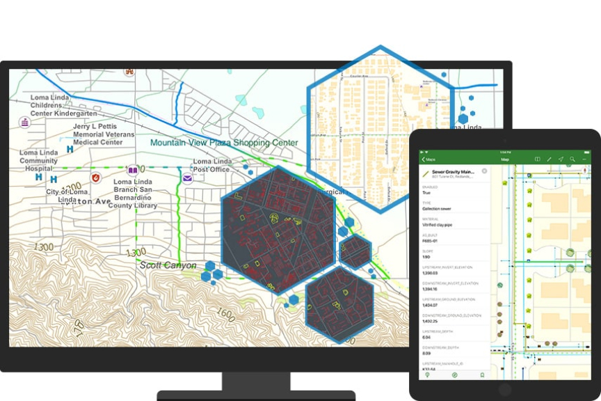
ArcGIS Publisher works with ArcGIS Pro and integrates with ArcGIS Online. Maps you create with ArcGIS Publisher can be used in ArcGIS Field Maps without logging into ArcGIS Online.


In ArcGIS Field Maps, open the link to the map package and add it to your collection.
Included with the Professional Plus user type
The Professional Plus user type is a comprehensive license that includes access to ArcGIS Pro Advanced, the most popular ArcGIS Pro extensions, and many other ArcGIS capabilities on web and mobile devices. With Professional Plus, you can perform thorough analysis, create 2D/3D production-ready cartography, utilize artificial intelligence (AI) workflows, build custom apps, and automate your workflows.

7:00 a.m.–5:00 p.m., Monday through Friday (PT)