Skip to Content

Get started with Esri data solutions

Satellite imagery of a coastal area overlaid with a weather radar map

Find the data to fit your needs. Whether you'd like the data on the cloud or on your infrastructure as prepared maps or clean data tables, Esri has a data solution for you.

Choose a solution that fits your needs

ArcGIS Living Atlas

Access prepared data maps, ready-to-use in ArcGIS.

3D image of terrain

ArcGIS Marketplace

Access Esri's partner data network.

United States map with regions marked in green

Location services

Embed Esri's data right into your applications.

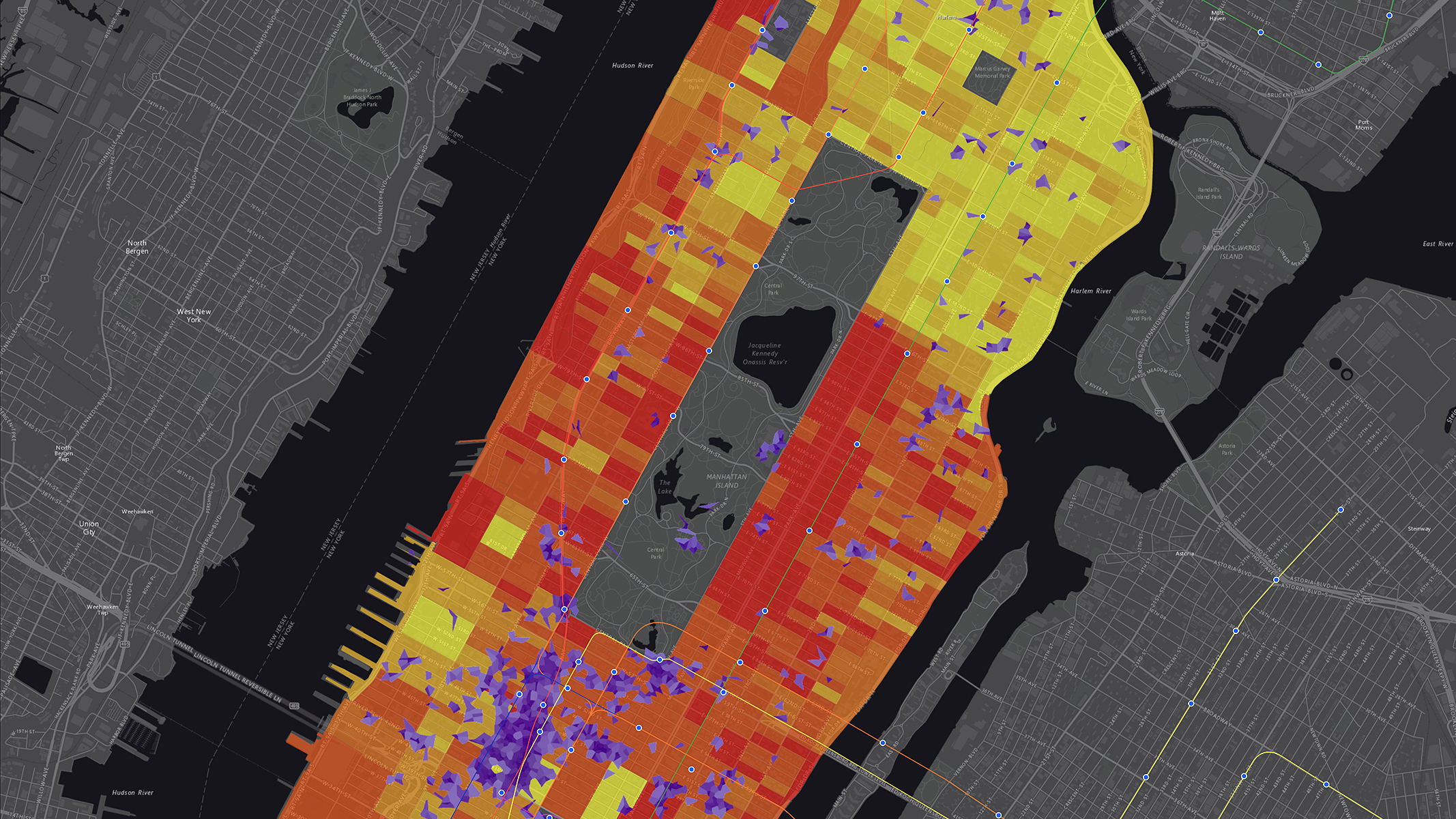
Multicolored street grid map

Data on your infrastructure

Get authoritative data, securely, behind your firewall.

Street grid map with lines in blue

Tabular data and reports

Contact Esri's data sales to help get you started.

Computer monitor showing multicolored map with bar graph, pie chart, and data

Schedule a demo

Have questions?

Outside the United States