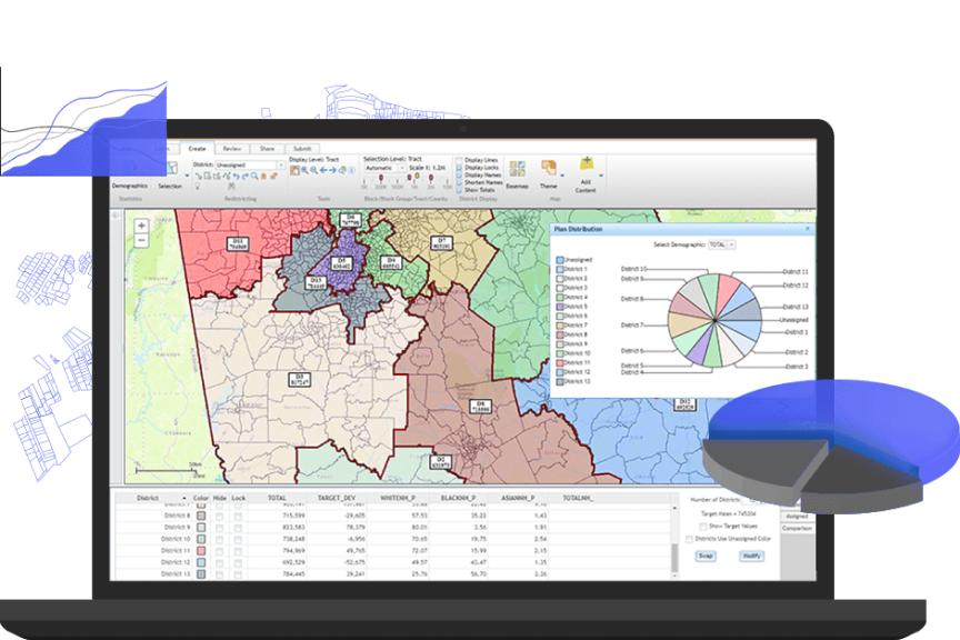
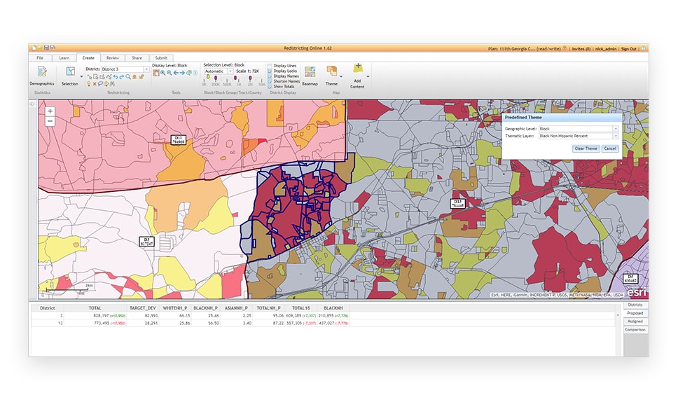
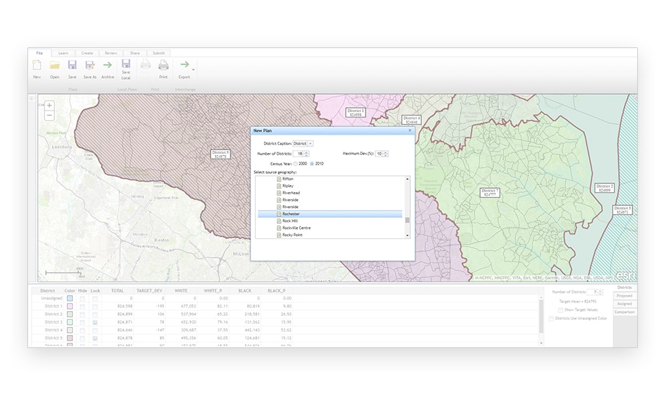
A modern enterprise approach
Esri Redistricting is trusted, curated, and secure. The easy-to-use interface and simple workflow will usher you through the process.
Legislative requirements and judicial audits
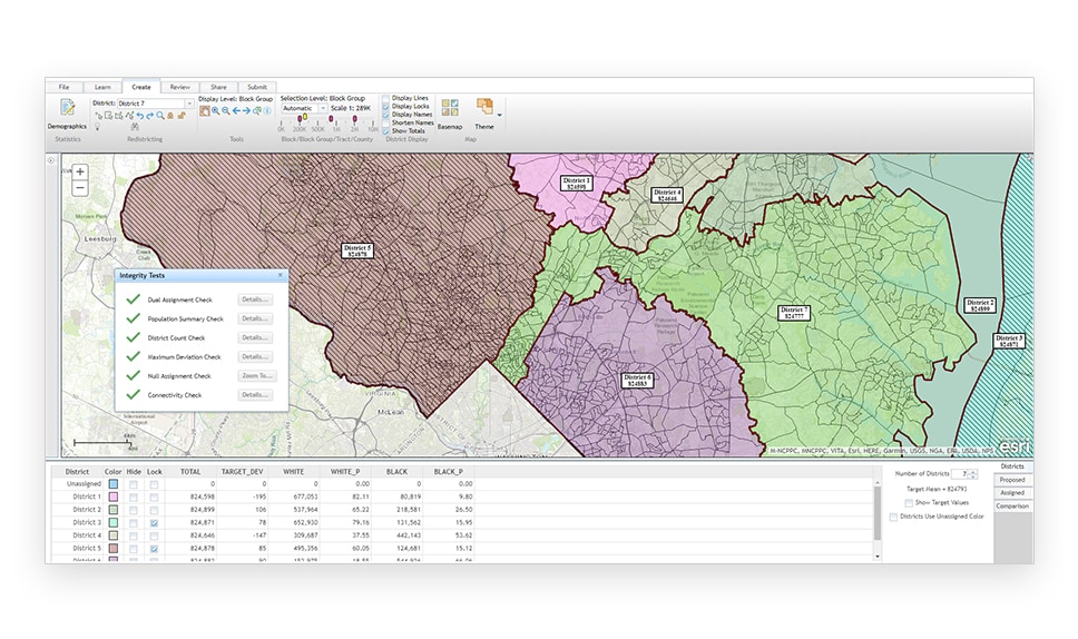
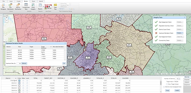
Avoid common pitfalls. Use built-in tools to check compactness and allowable population deviation. Share pre-defined reports that meet legislative requirements.
Secure sharing and collaboration
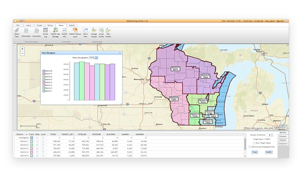
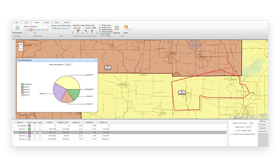
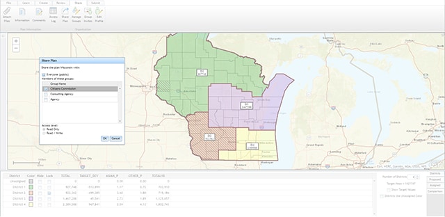
Engage citizen participation via online maps. Use out-of-the-box redistricting and spatial analysis functions, sophisticated geocoding, and plan management tools.
Leverage existing GIS investments
No need to train your staff on a new system. Rely on the trusted and stable ArcGIS from Esri, the GIS market leader for more than 45 years.

How Esri Redistricting works
Deployment offerings
SaaS subscription
Esri Redistricting Online
-
Per user pricing/12-month subscription
Access to all functionality in a single-user version
Add content from external ArcGIS services
Managed Cloud Services
Esri-hosted redistricting
-
Configured instance for organization
Custom data packs/integrated customer data
All hosting components managed by Esri
On premises
Deployed on-site
-
Configured and installed behind firewall
Custom data packs/integrate your data
Hosting components managed by you

