Add context with global content
Get access to a vast collection of imagery and remotely sensed data
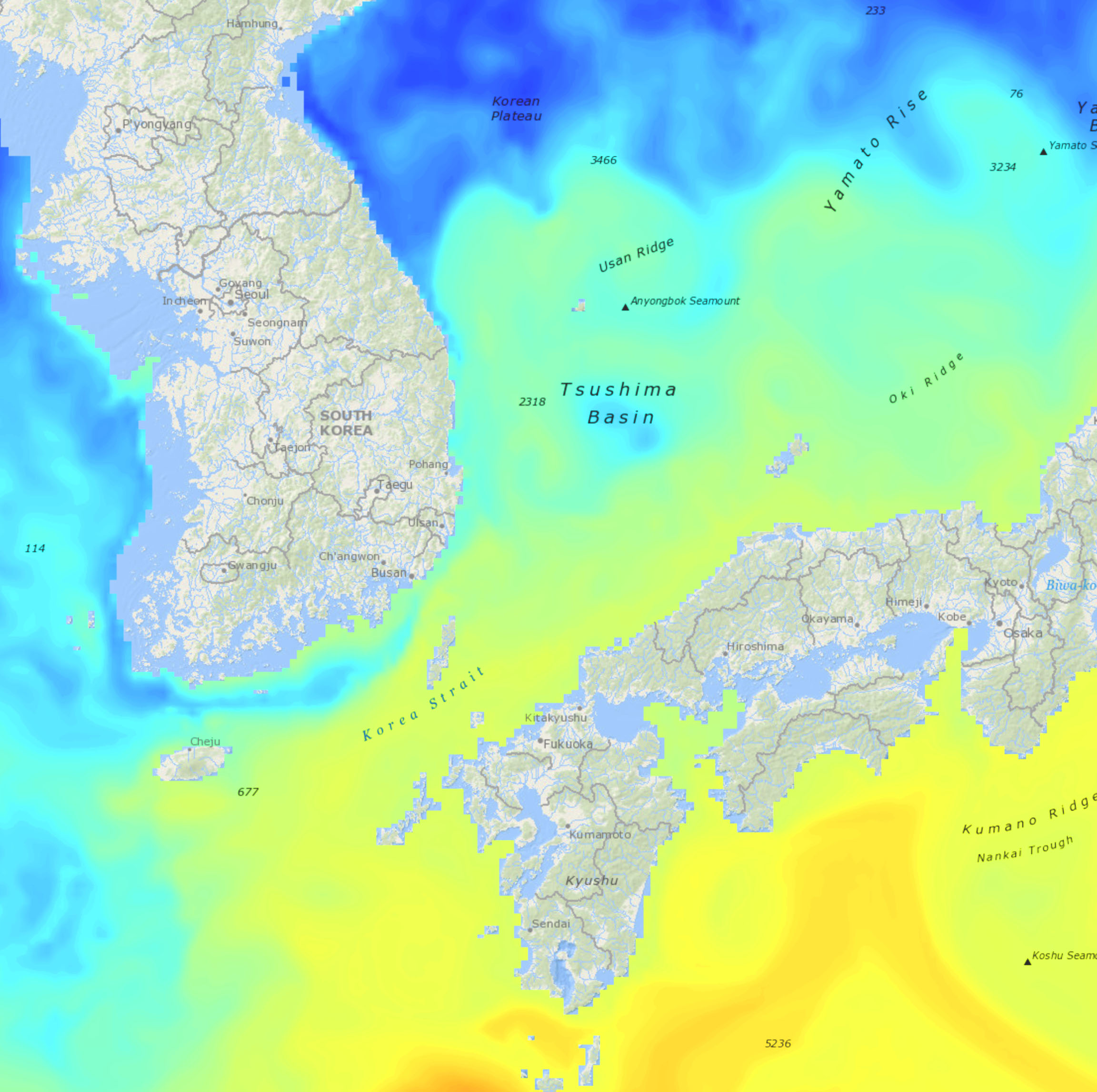
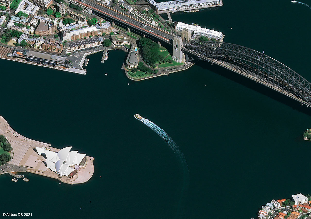
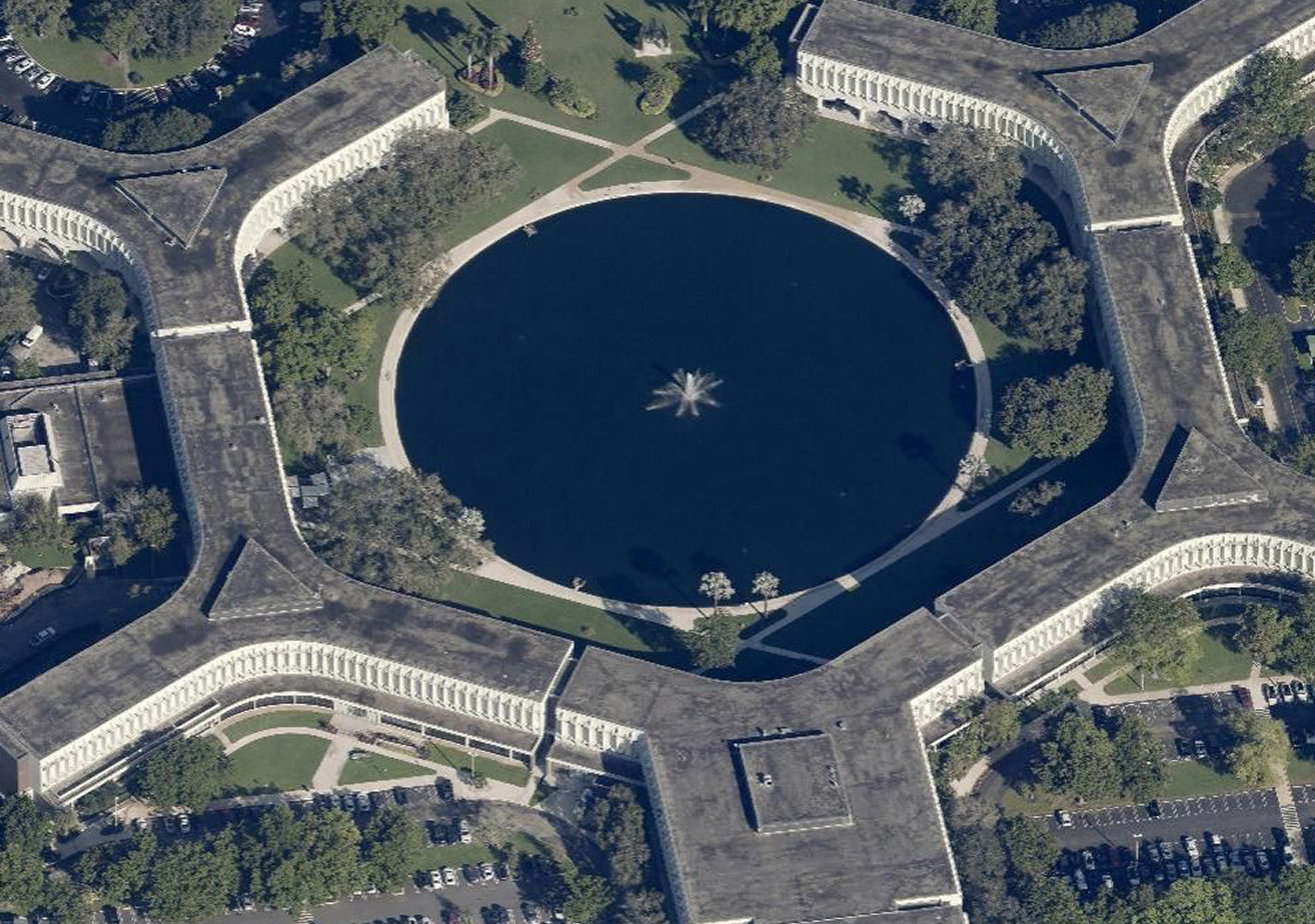
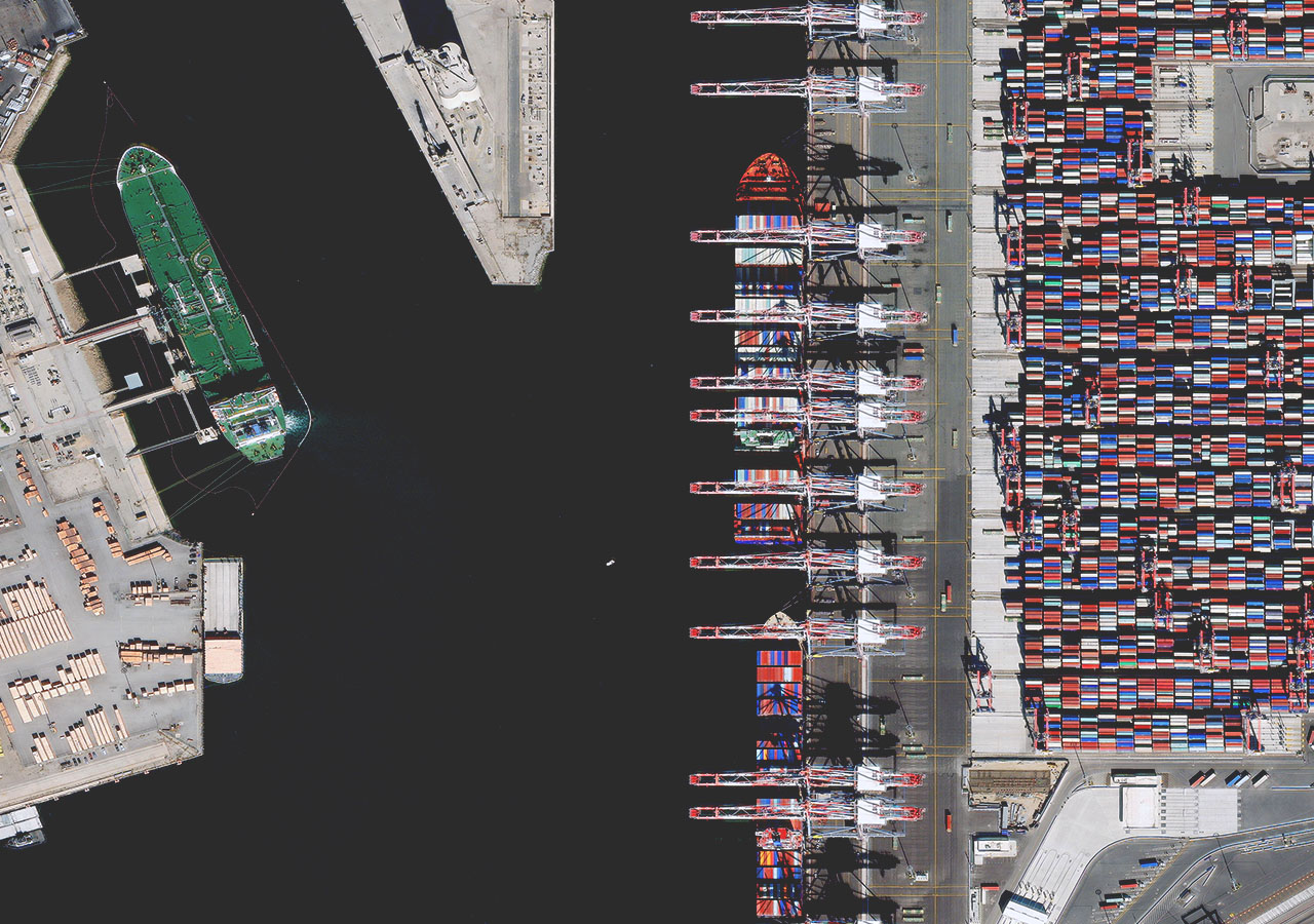
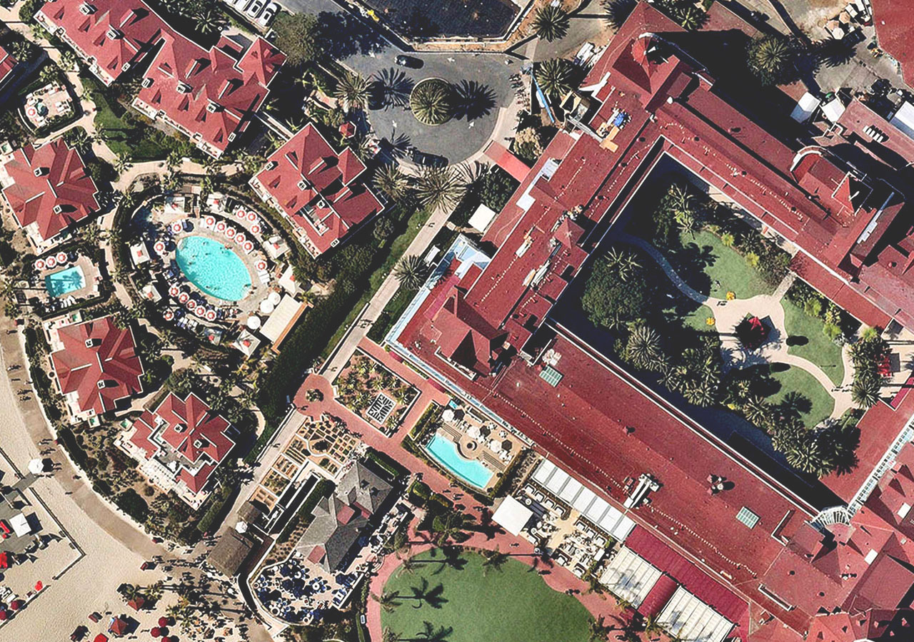
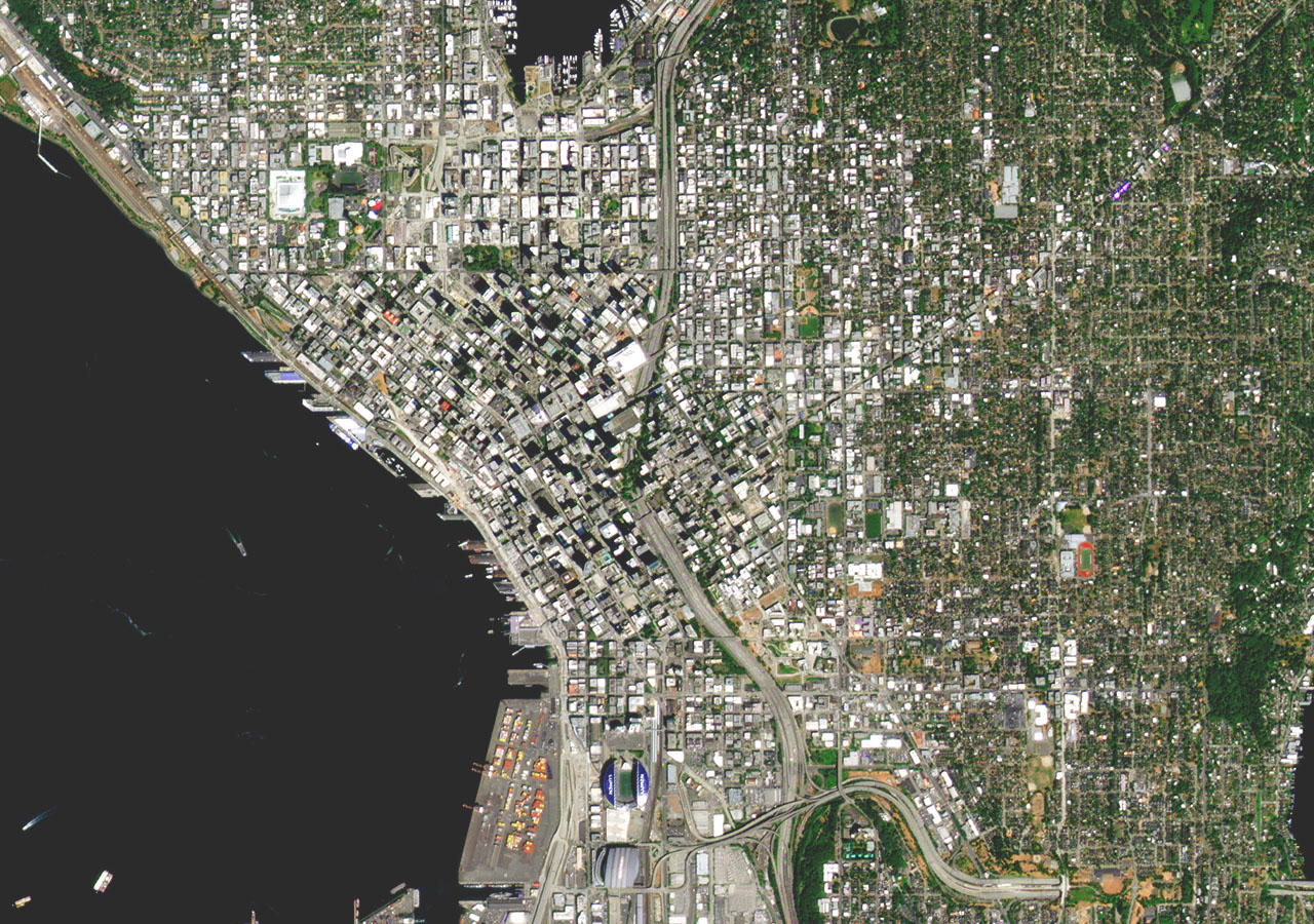
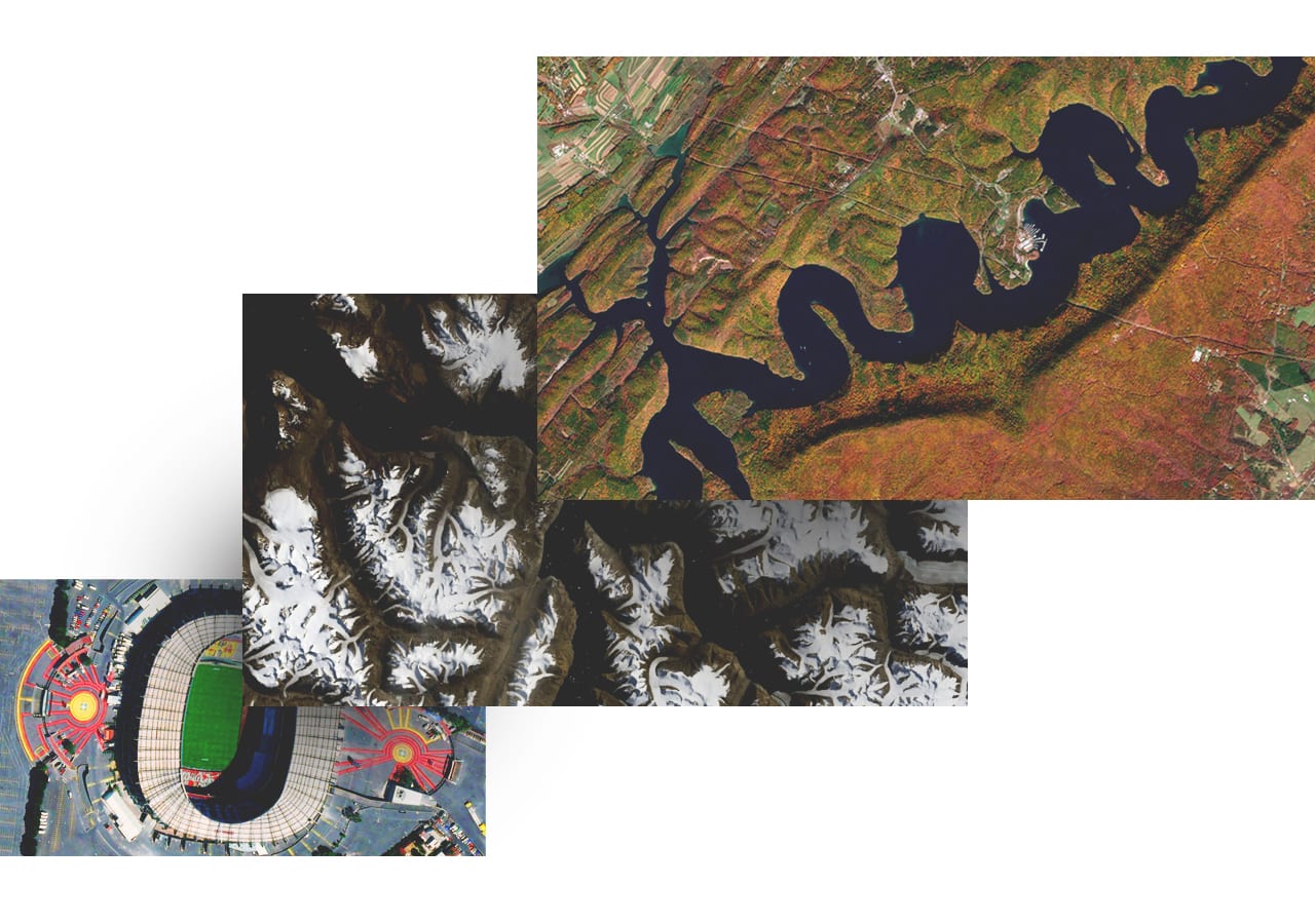
Esri curates thousands of maps, apps, and datasets from authoritative and commercial sources and makes them available to you, ready to use, via ArcGIS Living Atlas of the World. Find the imagery content you need to visualize remotely sensed images on maps, perform image analyses, and layer imagery data with other spatial information.
All types of imagery and geospatial content
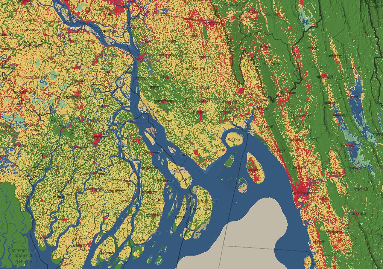
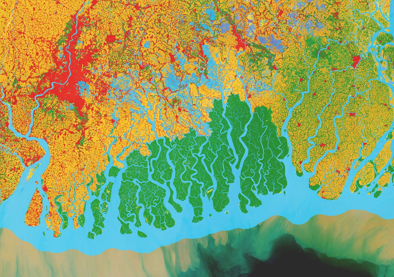
Start with ready-to-use layers like world imagery and land cover, then explore apps, deep learning models, and other global geospatial datasets.
More sources of global and regional imagery
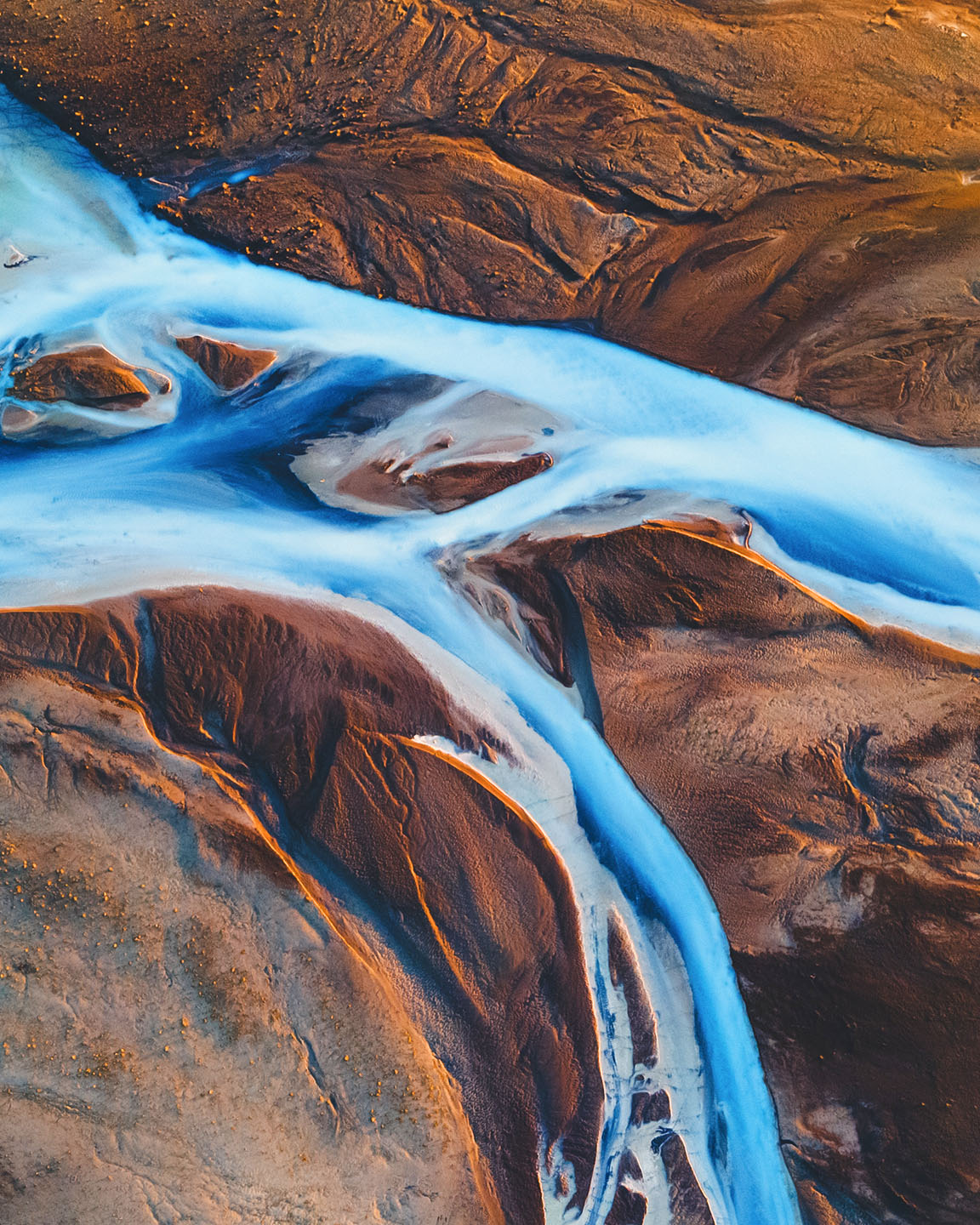
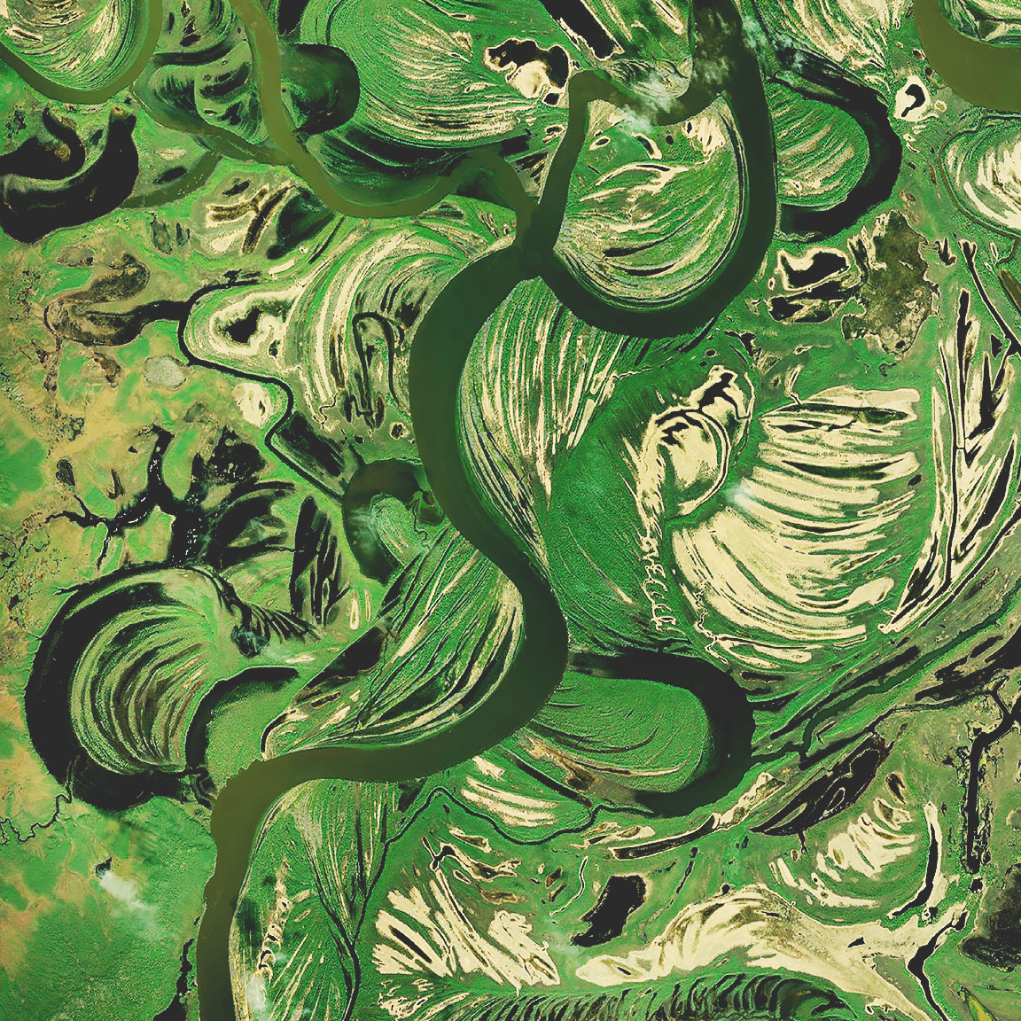
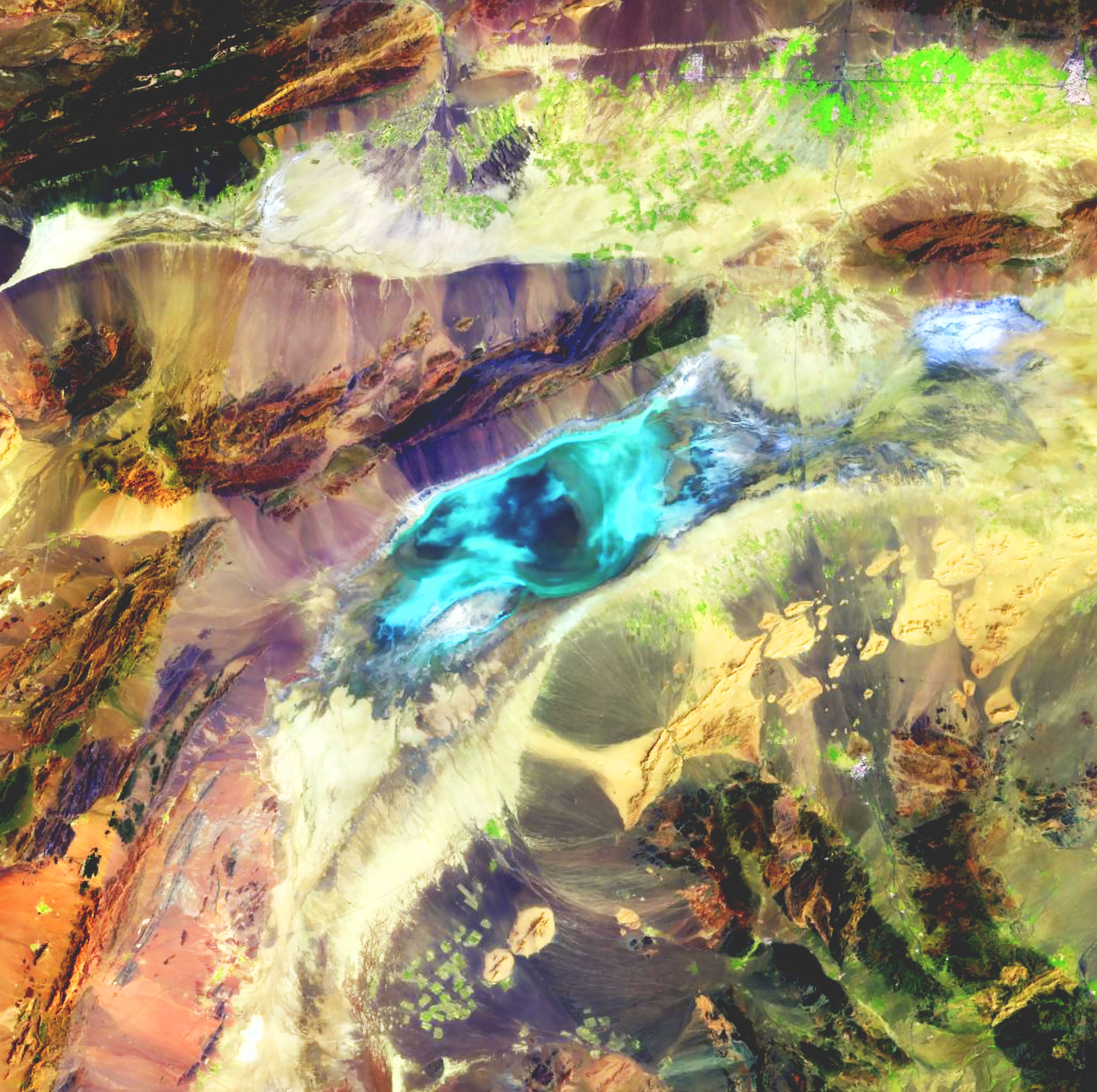
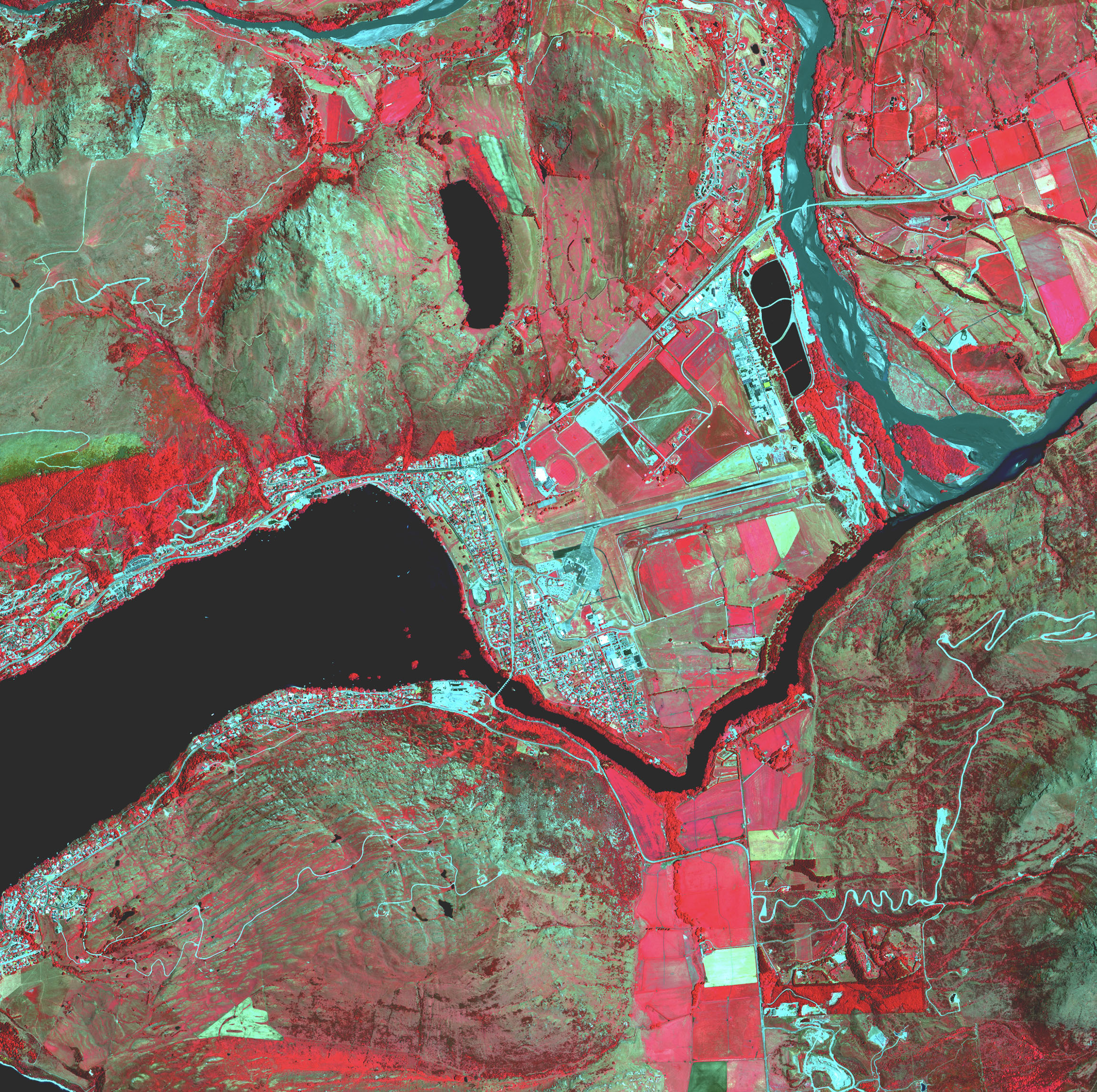
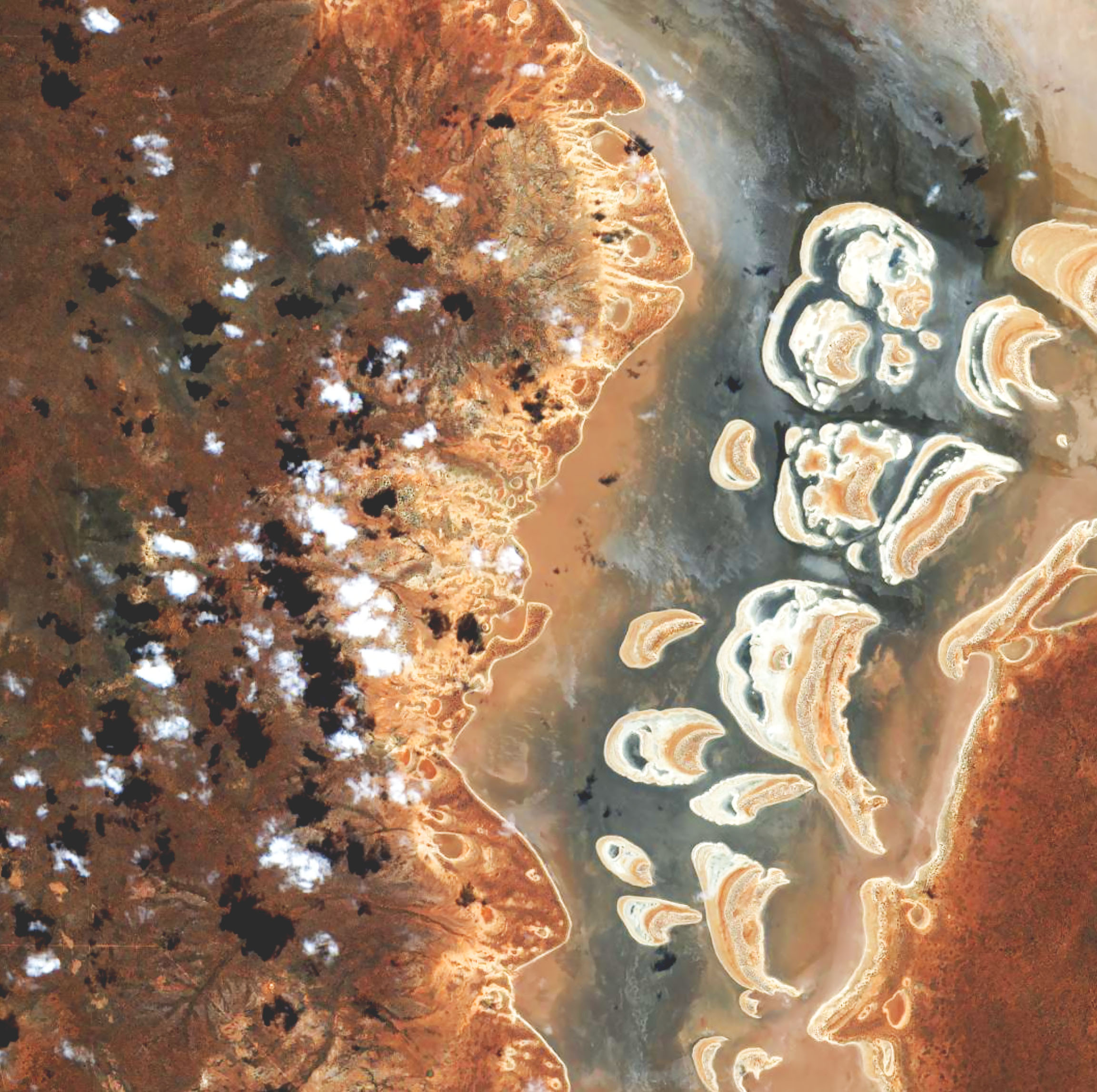
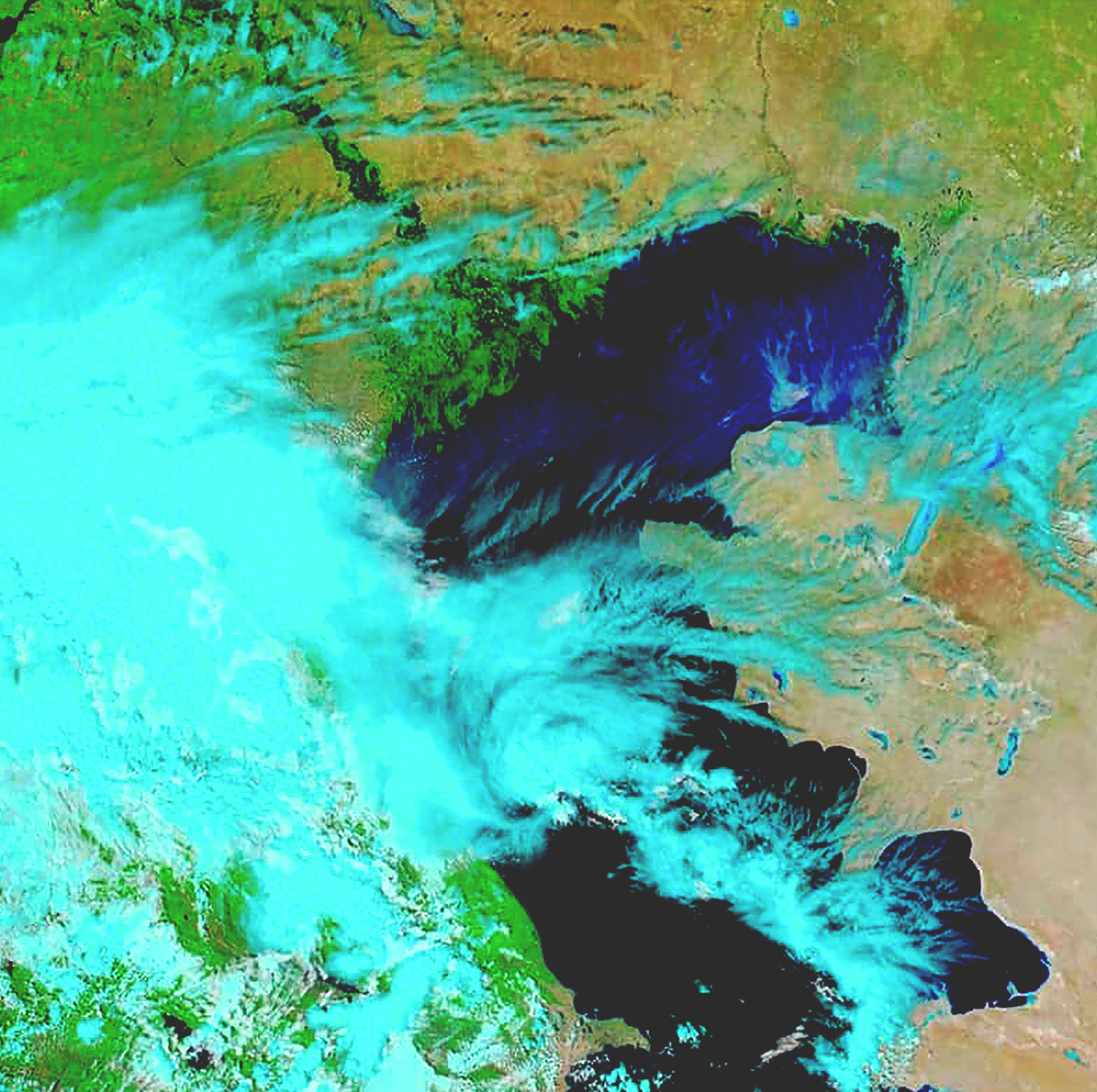
Access satellite imagery like Sentinel, Landsat, and MODIS—as well as premium imagery data from Esri partners and contributors around the world.
Tools that take your imagery beyond basemaps
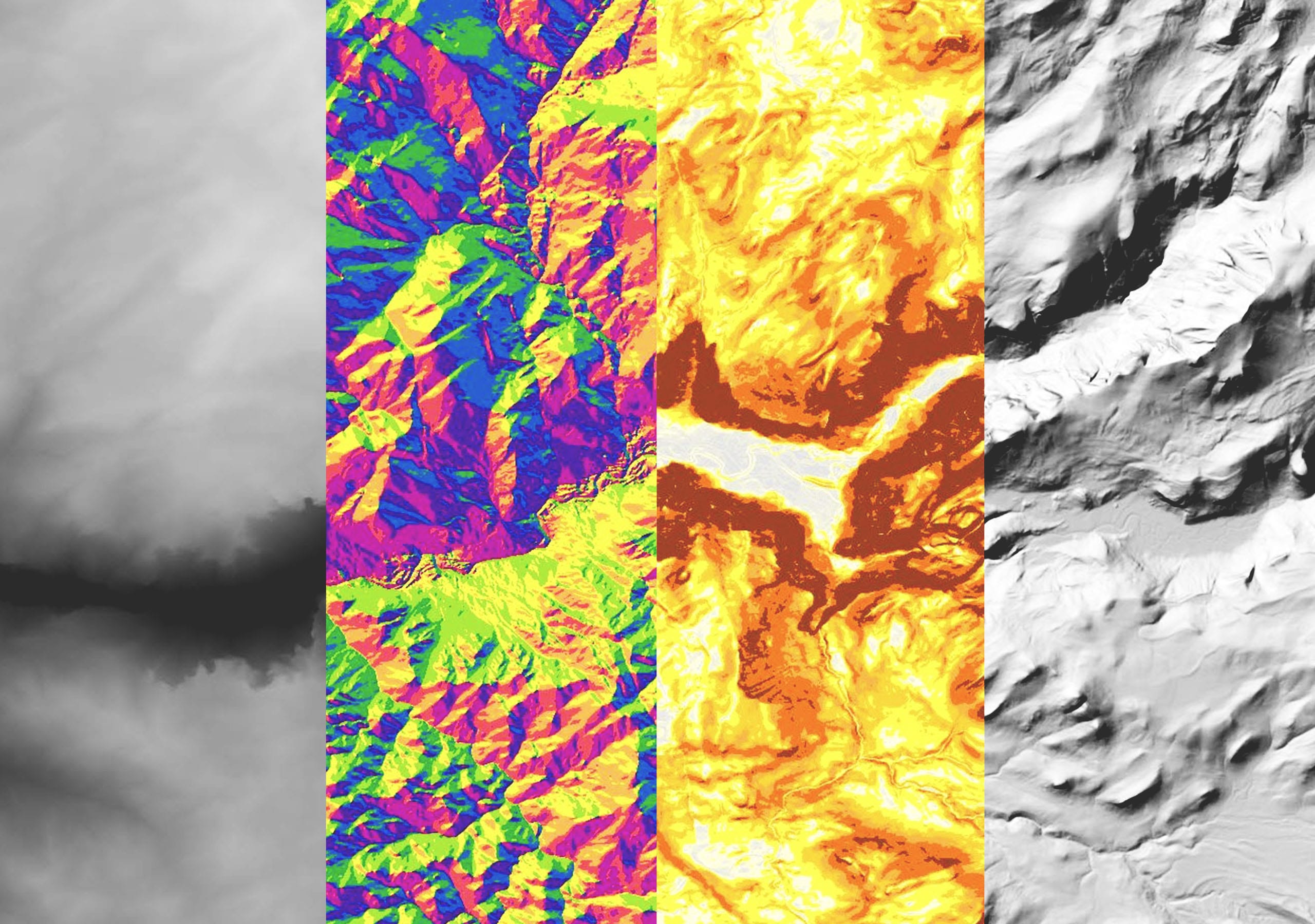
In ArcGIS, imagery layers are not static backdrops—like any spatial data, they're available for analysis and visualization.

