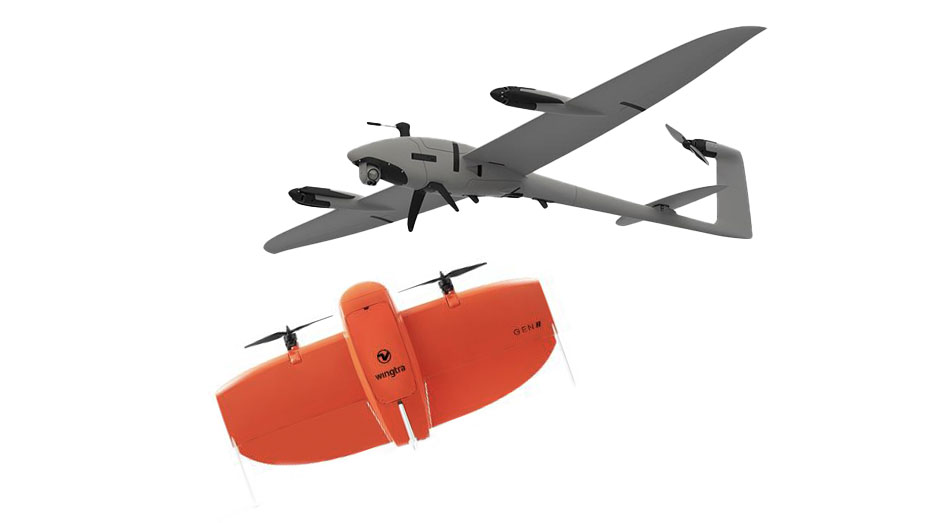
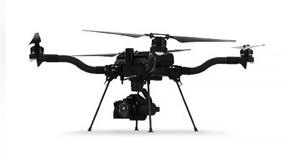
Skip to Content

Drone Technology: Today's Trends and What's Next


Key takeaways

Scale up drone capabilities quickly. New drone technology continues to improve, democratizing data collection and making it more cost-effective and easier to have the most up-to-date information.

  • Drone hardware is getting smaller, sensors are becoming complex and compact, and autopilots are smarter.
  • Software is advancing in data processing, full-motion video, and analysis.
  • No matter the drone platform, Esri has developed workflows that turn drone and sensor packages into a data pipeline.

Since I began working in drone technology in 2013, the industry has been a roller coaster—experiencing highs and lows as it went through the growing pains of bleeding-edge technology development. In recent years, the roller coaster has smoothed out as the various sectors using this technology settled into use cases that worked and scaled. These sectors moved from R&D projects to deploying drones by the hundreds.

During COVID-19 lockdowns, we saw how remotely deployed imagery devices can help scale a distributed team's reach. For example, drones flown by Alameda County Fire Department generated 360 panoramas and aerial maps during the Northern California fires in summer 2020. The images were used to remotely perform damage assessments on buildings, so the local residents could go online to view the state of their neighborhoods.

At Esri, we develop workflows around the latest developments in drone technology and to meet the needs of our users leveraging it. The following is my look at today's trends and where they're heading.

Drone hardware trends


Hardware is getting smaller, sensors are becoming amazingly complex and compact, autopilots are smarter and driven by the Internet of Things (IoT), and the US federal government has shaken up the hardware game. Here are some hardware trends to watch.

Previous
Next

Drone software trends


Collecting data is only half the battle. To keep up with the pace of development in aircraft and sensors, software has been advancing in key areas: data processing, full-motion video, analysis, and fleet management automation for enterprise scalability. 

Previous
Next

Esri's role in drone technology


Drones are a valuable data funnel for on-demand collection of digital assets. Drone technology continues to improve, democratizing data collection and making it cheaper and easier to have the most up-to-date information. No matter the drone platform, Esri has developed workflows that turn your drone and sensor packages into a data pipeline that creates information you can use.

ArcGIS Drone2Map is a desktop-based processing application that turns photos, both RGB and multispectral, into 2D and 3D datasets in a completely disconnected environment. If you are processing a large amount of images or processing flights from multiple drones, Site Scan for ArcGIS is a cloud-based product that takes raw RGB, multispectral, or thermal imagery and processes it in the cloud into 2D and 3D datasets. For supported drones, the Site Scan Flight app communicates directly with the autopilot and creates an automated flight plan for generating the best drone datasets. It also includes the ability to create FMV and has Airspace Link integration for automated LAANC authorization requests.

Image of Jeremiah Johnson

Need help finding the right solutions?


Schedule a conversation with one of our experienced sales consultants. Tell us how you're using imagery and remote sensing data now, and we'll show you where a complete geospatial system can take your work next.