ArcGIS Maps for  Adobe Creative Cloud

ArcGIS Maps for Adobe Creative Cloud

Included with ArcGIS user types

Design with data-driven maps

Go to purchase options
Sign up for free trial
A desktop monitor displaying a cluster map of downtown Los Angeles opened in an Adobe Illustrator window

Use authoritative maps in your design workflows

ArcGIS Maps for Adobe Creative Cloud enables innovative professionals to access and design with data-driven maps in Adobe Illustrator and Photoshop. Quickly find and add geographic content to your work as editable vector layers and high-resolution images.

Access a PDF of this web page

Make every place a creative space

Add your own creative vision to the world’s most powerful maps. Tell your story in a unique way using data on thousands of topics. Reimagine mapping.

woman using arcgis maps for adobe creative cloud
Previous
Next

Your brand, your story

Maps for Adobe Creative Cloud allows user to get the most out of their maps, not just for internal decision making, but for external communication as well.

How it works

Design simply and efficiently

Creatively enhance your map-based projects by pulling in geographic data to Adobe Photoshop and Illustrator without needing to leave the application.

An illustrated demonstration of how to start designing a map in an Adobe Illustrator window

Exceed expectations

Save time tracing maps to highlight specific points while also eliminating the margin of error with ArcGIS Maps for Adobe Creative Cloud.

An illustrated demonstration of highlighting and enhancing sections of a map in an Adobe Illustrator window

Tell stories with more impact

Import your data and—within seconds—begin designing a visually appealing story that enhances your company's branding.

An illustrated demonstration of adding data from a spreadsheet to a map in an Adobe Illustrator window

CASE STUDY

Engineering Firm Designs Future Projects

Moffatt & Nichol use ArcGIS Maps for Adobe Creative Cloud to produce detailed, layered graphics in a fraction of the time.

Read the case study

ArcGIS Maps for Adobe Creative Cloud usage

Create an exciting narrative with unique visual designs by pulling map layers as vector files or image artwork into Adobe Illustrator or Adobe Photoshop. Alternatively, export your design maps and layouts as Adobe Illustrator Exchange (AIX) files. Access and use the extension based on your functional needs and budget. Learn more about functionality that's available with ArcGIS Maps for Adobe Creative Cloud.

Learn more

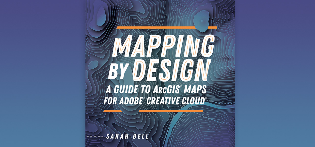
Mapping by Design

Mapping by Design: A Guide to ArcGIS Maps for Adobe Creative Cloud is the practical guidebook for making effective maps using Maps for Adobe Creative Cloud. By connecting Adobe Illustrator to ArcGIS Online, this extension gives you the power to create maps by providing easy access to authoritative digital maps and map layers. Learn how to create compelling visual stories with maps by following comprehensive tutorials designed to navigate you through common mapmaking workflows.
Learn more about the book
Book cover for Mapping by Design: A Guide to ArcGIS Maps for Adobe Creative Cloud overlaid on a blue gradient

This app is included with ArcGIS user types

ArcGIS provides a comprehensive set of capabilities for creating, managing, analyzing, and mapping geographic information. Gain access to the capabilities of this application, included in ArcGIS, with user types. Match user types to roles within your organization.

Learn more about user types
Learn more about ArcGIS
A digital image of earth with blue water and green land with a series of round icons surrounding it

Purchasing options for ArcGIS

Esri hosted software as a service

Go to ArcGIS Online pricing

Self-hosted geospatial infrastructure

Go to ArcGIS Enterprise pricing

Talk to someone on our sales team

800-447-9778

7:00 a.m.–5:00 p.m., Monday through Friday (PT)

Chat online

Start a chat

Contact the sales team

Fill out the contact form