ArcGIS Navigator

ArcGIS Navigator

Included with ArcGIS user types

Advanced navigation and routing for your workforce

Go to purchase options
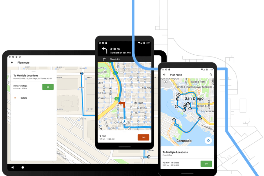
Graphic of two mobile phones and a tablet, all displaying app data on road debris reporting, vineyard scouting, and aerial pipeline patrol

ArcGIS Navigator is a professional mobile navigation app for Android and iOS that uses GIS software to route your field workforce. It comes with hundreds of global maps, or you can add your own custom map. Define travel modes, route on your own roads, and search your assets. Work online or offline and with other ArcGIS field operations solutions.

Complex navigation made simple

Work offline
Navigate even when disconnected
Shared routes
Easily make and access custom routes
GIS data
Search your assets, route on your roads
Boost efficiency
Drive less, be reliable and on time

How Navigator works

Smart phone on orange background showing navigating using software

case study

The Route to More Efficient Inspections

We are saving $197,000 per year on mileage and inspectors' time by using ArcGIS.

Rich Franz-Under

Pima County Green Building Manager

Read the case study

This app is included with ArcGIS user types

ArcGIS provides a comprehensive set of capabilities for creating, managing, analyzing, and mapping geographic information. Gain access to the capabilities of this application, included in ArcGIS, with user types. Match user types to roles within your organization.

Learn more about user types
Learn more about ArcGIS
A digital image of earth with blue water and green land with a series of round icons surrounding it

Purchasing options for ArcGIS

Esri hosted software as a service

Go to ArcGIS Online pricing

Self-hosted geospatial infrastructure

Go to ArcGIS Enterprise pricing

Talk to someone on our sales team

800-447-9778

7:00 a.m.–5:00 p.m., Monday through Friday (PT)

Contact the sales team

Fill out the contact form