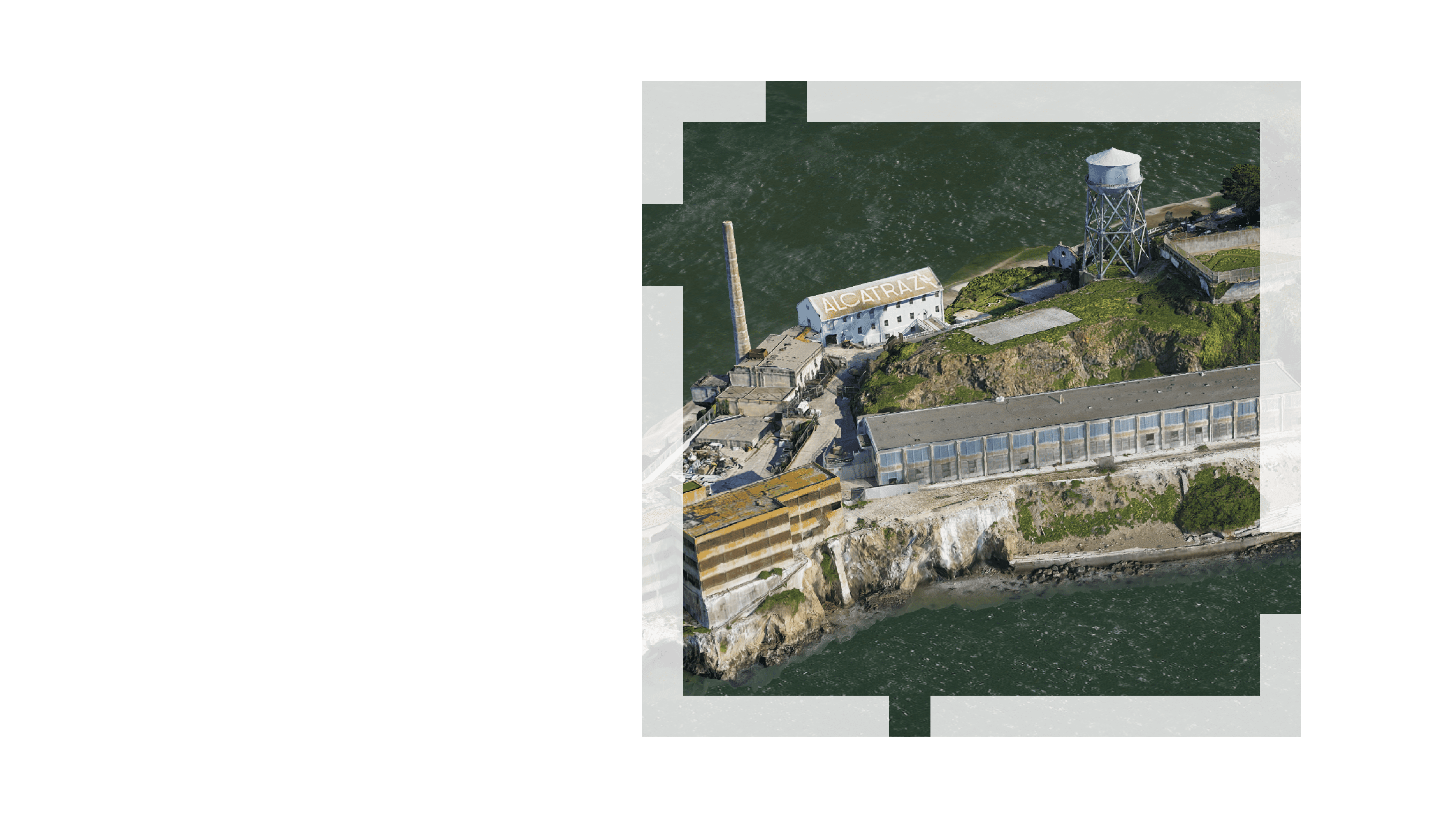
Unlock drone mapping potential
Drones revolutionize data collection and analysis. Esri's solutions—including Site Scan for ArcGIS, ArcGIS Drone2Map, ArcGIS Reality for ArcGIS Pro, and ArcGIS Flight—empower people to deliver insights their teams need.
Stay up to date with the latest in drone mapping. This newsletter provides detailed use cases, highlights advanced features for ArcGIS users, and offers valuable insights.
Sign up for the newsletter
You’ll receive the latest drone mapping updates, industry trends, and best practices.

