Safety and risk mitigation
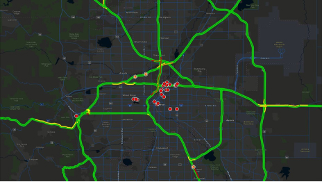
Spatial analytics show historic and potential hazards while real-time data reveals present dangers to help protect staff and resources.

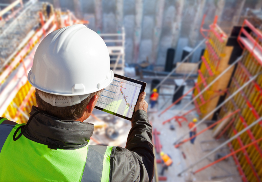
A blueprint for sustainable construction
Hear from the president of LandTech Consultants and the corporate GIS manager at Mortenson to learn how ArcGIS digitally transforms construction firms.

Geography does more than show you a place, it tells you a story about that place—what’s happening there now, and what could happen next. Discover how a comprehensive spatial representation of a worksite improves conditions on-site and beyond.
Explore real-life examples of how GIS transforms construction with superior data management, enhanced project coordination, and more.
Data-driven insights and visualization capabilities from GIS technology are redefining the construction industry. Learn from leading firms and experts how you can integrate data from diverse sources to gain a deeper understanding of project life cycles.
With a foundation of spatial technology, global construction firms are finding that better data management and collaboration lead to more effective planning; more manageable costs; and safer, more sustainable work sites.

Getting Smarter About Building Infrastructure
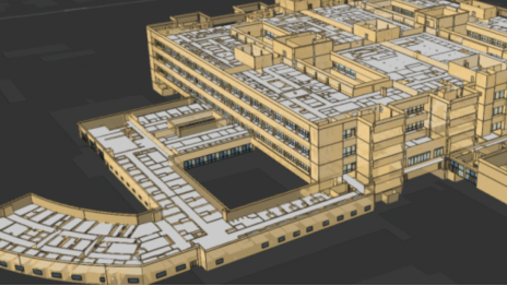
BIM Data Proves Useful Beyond Construction
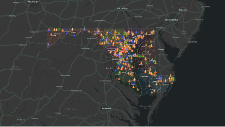
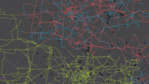
Maryland: Smart Maps Show Statewide Construction

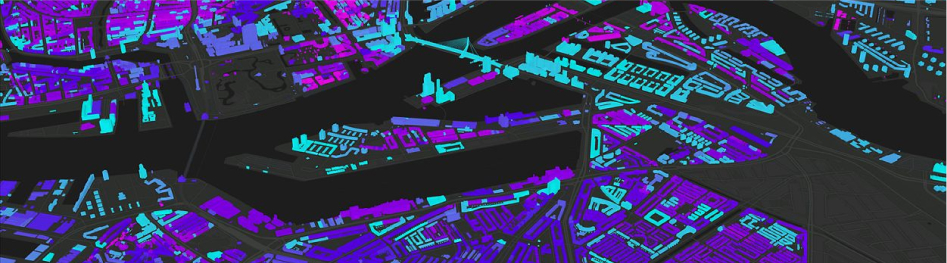
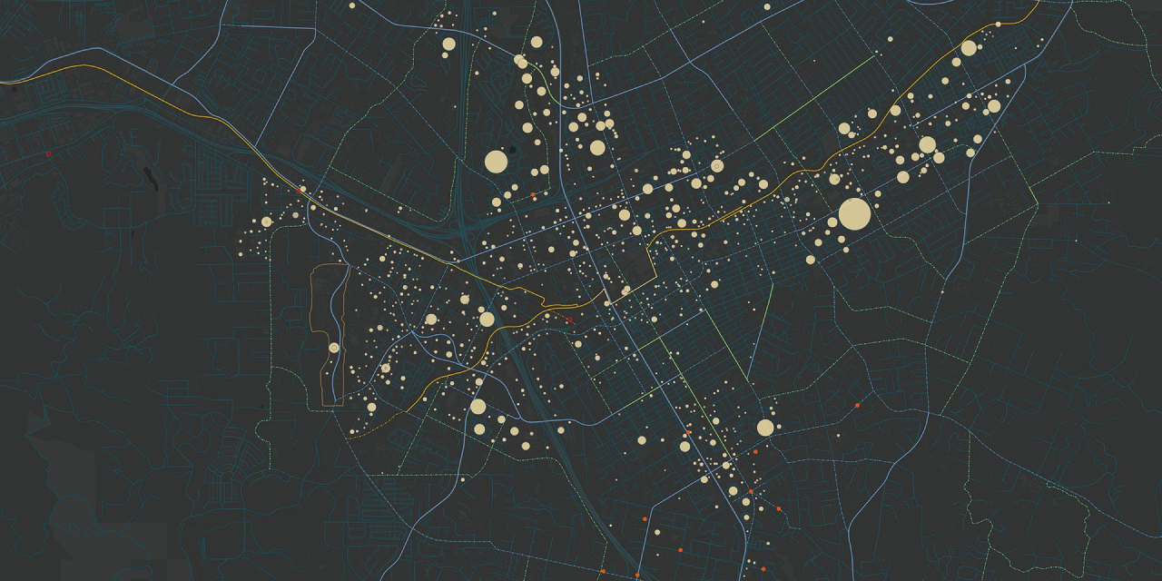
3D Model Shows the Impact of a Construction Boom
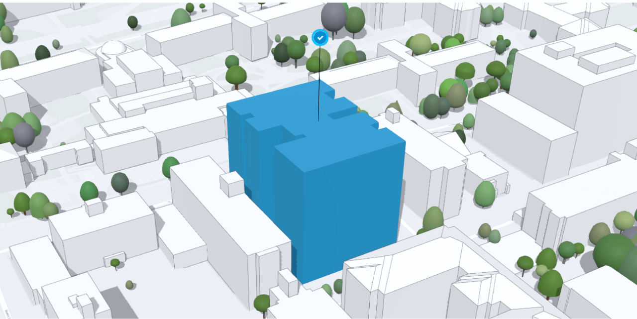
GIS & BIM: The Benefits of Integration
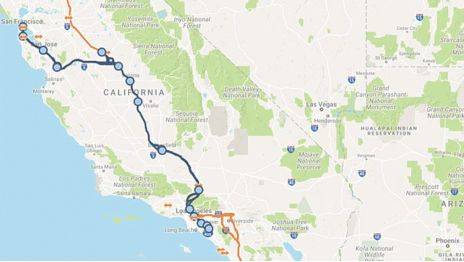
GIS Tracks California’s High-Speed Rail Progress
Fill out the form to get more information on using GIS for construction management and mapping.