Skip to Content

Esri Geospatial Program for Agriculture in Africa

A geospatial foundation for agriculture

Contact sales
A map of agricultural land highlighted green, yellow, and red; a green field of vegetation; and a mobile worker smiling while holding a tablet

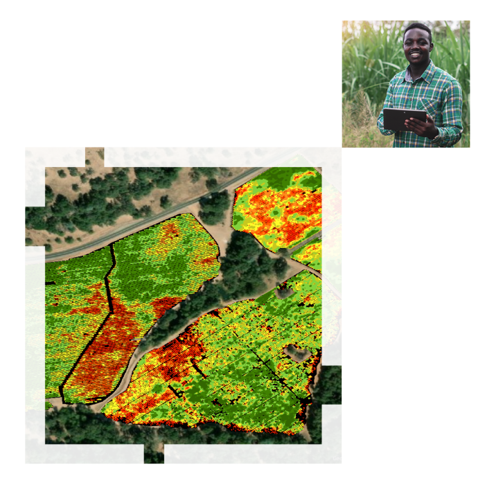
Farming for the future

Understanding the current agricultural landscape and planning for the future are critical to ensure sustainable development and food security. Esri's ArcGIS software helps organizations establish a database and baseline data and delivers the tools to streamline planning, field data collection, monitoring, analysis, forecasting, and decision support. Esri Geospatial Program for Agriculture in Africa supports governmental agencies with a focus on agriculture, aquaculture, or pastoral farming to establish a geospatial foundation in an affordable way.

A drone flying over farmland with overlaid square highlights of green, yellow, and red

Program offerings

Choose from one of the following three offerings

Previous
Next

Cost and eligibility

Grains of wheat with a green tint over the image

Who is eligible?

Agricultural agencies across the continent of Africa with a focus on agriculture, aquaculture, or pastoral farming.

How much does it cost?

Cost is dependent on the option chosen. Esri supports agencies with a geospatial foundation for agriculture by supplying discounts on software and capacity development.

Contact us

After you fill out the form, our team will be in contact to discuss your current challenges and explore the technology options available to you.