Real-time IoT sensor data
Monitor your facility in real-time by capturing crucial data from IoT sensors to ensure a comprehensive understanding of your operation's status.
Experience the power of real-time data and optimized field inspections that scale to your enterprise
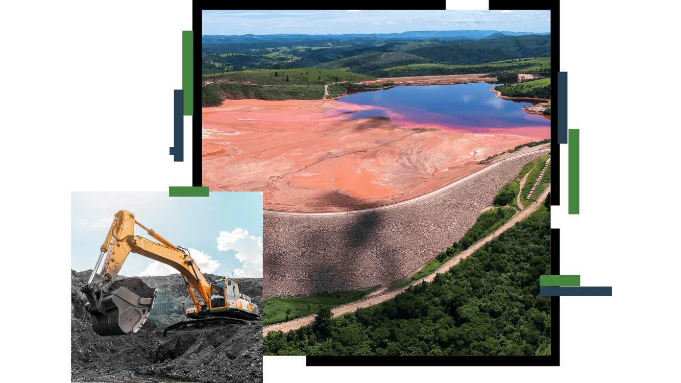
Esri’s environmental tailings storage facility monitoring solution seamlessly integrates internet of things (IoT) sensor data, field inspection reporting, and site-based imagery to transform your operations—improving transparency and optimizing decision-making.
Fill out the form and an Esri expert will contact you.