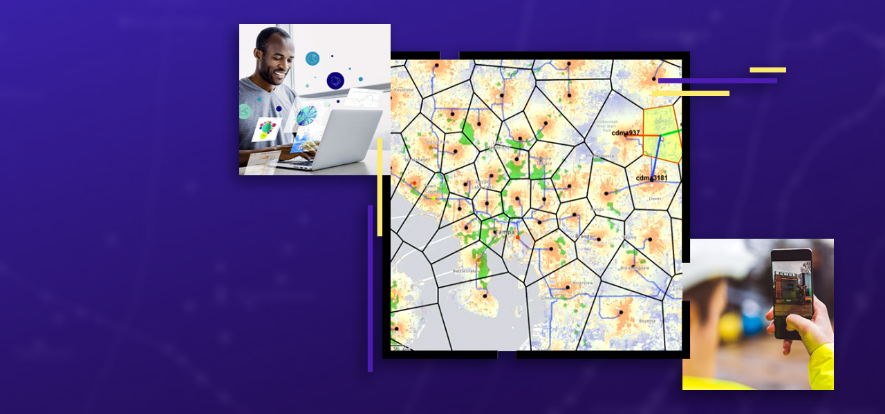
Communication service providers (CSPs) need new tools to help them be more strategic in their planning and engineering; reduce time to market through remote engineering; and maintain better project operational awareness as they invest and build-out 5G, DOCIS 4.0, software-defined networks (SDN), and expanded fiber to deliver next gen networks. Esri's ArcGIS technology provides the essential tools to identify market opportunities and assess existing capacity, helping decision-makers invest where they can maximize their return on investment (ROI). With ArcGIS you get one complete real-time network view to manage network build-outs from planning, to design, to construction, to as-built.
Discover how ArcGIS can help connect communities nationwide
“Bridging the Digital Divide with ArcGIS” gives an overview of how Esri’s geographic information system (GIS) technology can help build and support next generation broadband networks. Download the technical paper to learn how ArcGIS can provide support at every phase of broadband deployment—from planning and engineering through operations and fulfillment.
Download the technical paper
Maximize ROI on existing assets and efficiently plan new networks
Digital twin & connectivity
ArcGIS models the entire network with spatially accurate data. It has the tools to model fiber, coax, wireless, and hybrid networks as they really are on the ground. ArcGIS offers connectivity modeling of assets in two and three dimensions, supporting best practices and industry standards.
Remote engineering & collaboration
Reduce the number of engineering field visits by bringing the field to the engineer. By leveraging ArcGIS, CSPs are delivering field information directly to the engineer's desktop. It is now possible to remotely collect field data, develop designs, create final engineering documents, and submit permits with a minimum number of field visits.
Location intelligence & strategic planning
Whether CSPs are planning a greenfield area or upgrading networks in an existing service area, they need to evaluate revenue potential against legacy network capacity and capability. ArcGIS is ideally suited for this analysis with optimized tools for big data geospatial analysis to visualize subscriber network behavior.
previous
Next
NEWS
NextTech: AI's role in the 5G build-out
Read about the role GeoAI is taking in designing and building 5G networks.
Read now
STORY MAP
Value-based network planning
Learn more about spatial analytics and how it's supporting marketing and retail analysis, subscriber behavior analysis, and capacity.
View now
POSTER
Telecommunications: Planning & engineering
Download the poster to learn more about Esri's planning and engineering capabilities.
Download poster
Technical paper
Putting the Geospatial in 5G
Discover how geospatial technology can help telecom providers improve their service, increase customer satisfaction, and drive network loyalty.
Download the technical paper
How can ArcGIS help you in your planning & engineering efforts?