Esri Smart Airfield
Maximize operational efficiency
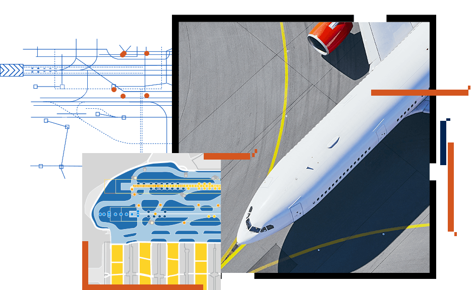
Enhance your airport operations with Esri smart solutions
Maintaining airfield safety, maximizing operational efficiency, and minimizing flight schedule interruptions are challenges faced by all airports. Esri's airfield operations solutions streamline airfield inspections, automate maintenance workflows, and provide real-time management insights.
Smart airports can leverage Esri's airfield operations solutions to
- Make information easily available in the office or in the field.
- Deliver user-focused apps to support more efficient workflows.
- Facilitate collaboration and coordination across your organization.
- Drive better-informed decision-making at all levels of your organization.
- Comply with Federal Aviation Administration (FAA) requirements.

Previous
Next