Network management
Update and integrate network data with ArcGIS to better model and manage network performance and behavior and the relationships between disparate network assets.
Power your digital transformation with ArcGIS
Visit booth #2631 at the American Water Works Association (AWWA) Annual Conference & Exposition (ACE) 2023.
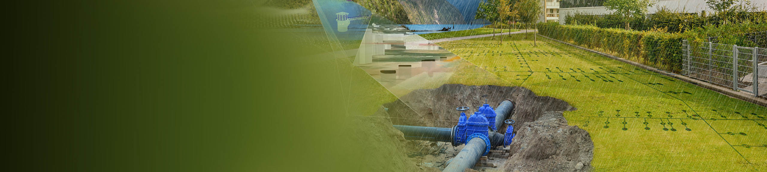
Many water, wastewater, and stormwater utilities around the world are using geographic information system (GIS) technology, making it ideal for new digital water system investments and initiatives.
Esri's ArcGIS technology is uniquely suited to serve as the foundation for digital water system transformation, with solutions built to be used by anyone on any device. Collect, display, and analyze data from various sources, and leverage easy-to-use maps and apps to provide quick access to information across your organization.
Connect with Esri and its partners at booth #2631 to learn how ArcGIS can help power your digital transformation.
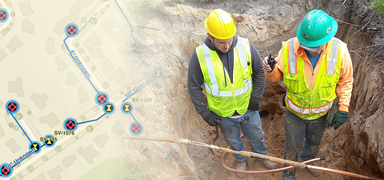
ArcGIS technology enables data integration, collaboration, and powerful analytics.
Visit booth #2631 to learn about products and solutions from Esri and its partners.
Do you need survey-grade accuracy to map water and wastewater assets? Discover GPS/GNSS solutions from Esri partner and Canadian GNSS manufacturer Eos, with Esri at ACE.
Learn about EosDevelop an Accurate Lead Service Line Inventory and Replacement Plan with BlueConduit. Let’s get the lead out of the ground to protect health, trust, and public funds.
Learn about BlueConduitGet asset management and civic engagement software for utilities and local governments featuring a better ArcGIS integration, unmatched flexibility, and a simple yet modern interface.
Learn about Elements XSWe offer easy and efficient deployment and transition to ArcGIS Utility Network, backed by our Esri-certified experts. Our experience in migrating to ArcGIS Utility Network is unmatched.
Learn about DCSESchedule a meeting or demo with Esri's experts at AWWA ACE to learn more about the power of GIS and how Esri supports water utilities.