Access a world of 3D imagery
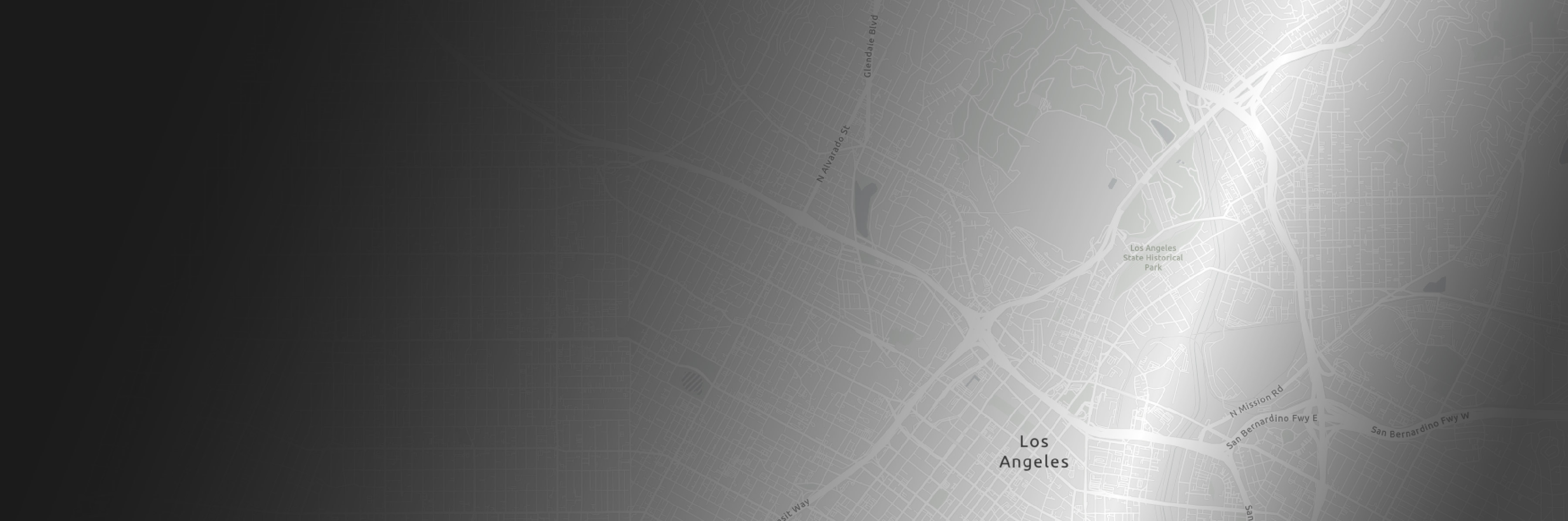
Built with Google’s high-resolution imagery, the photorealistic 3D basemap covers over 2,500 cities in 49 countries. Its comprehensive 3D data supports detailed, accurate, and globally relevant GIS projects.
Coming in late 2025
Easily add photorealistic 3D context to your ArcGIS projects

Esri and Google Maps Platform collaborated to integrate Google’s Photorealistic 3D Tiles as a basemap in ArcGIS, ushering in the next era of spatial awareness.
With Google’s global high-resolution imagery, ArcGIS continues to enable a 3D-first, multidimensional approach to geospatial projects while providing realistic insights.
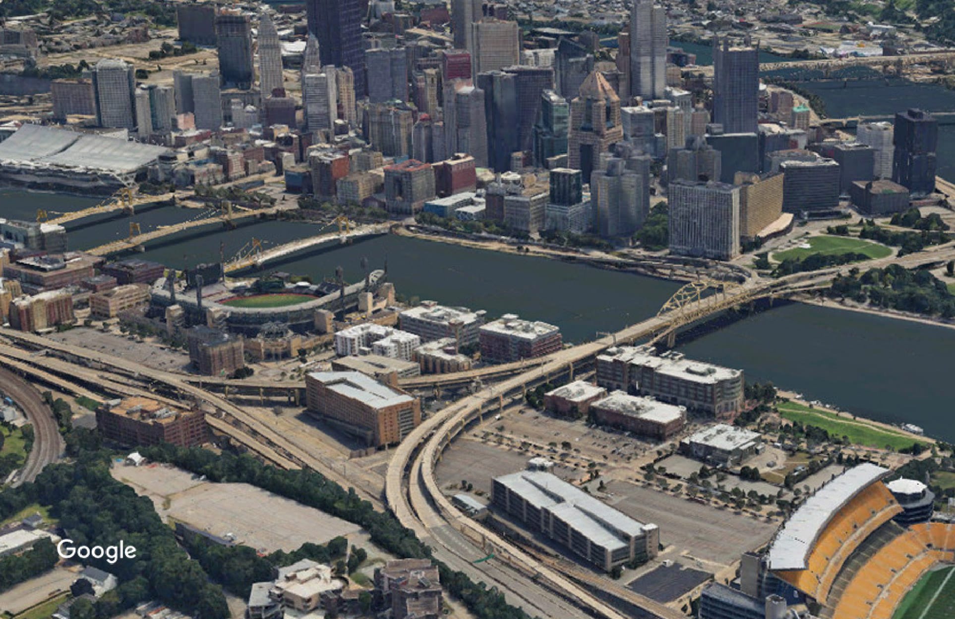
Easily add a photorealistic foundation to your GIS.
Fill out the form to receive updates about accessing Google Maps Platform Photorealistic 3D Tiles in ArcGIS.