Skip to Content
Blue and red map of the city of Houston with white data points

ArcGIS for Operational Intelligence

Geospatial software to help intelligence analysts move from strategic to tactical

Sign up for product news

ArcGIS for operational intelligence (OPINTEL) is software with a geospatial edge that turns data into strategy and enables the execution of operational and tactical objectives. It accelerates the decision-making process by fusing different sources of information to turn it into actionable intelligence and makes it available across the enterprise. Thousands of analysts across intelligence, defense, public safety, corporate security, and disaster relief organizations use ArcGIS for operational intelligence software to transform raw data into actionable, real-time insight.

Strategy

Turn data into intelligence. We help our customers understand the effects of climate on security operations; identify how to secure sustainable, resilient supply chains; and investigate targeted crime prevention. ArcGIS for operational intelligence is software with analytical tools to collect, compile, and identify courses of action that align with the mission of your organization.

An inset map of California showing areas with high burn hazards highlighted in red

Operations

ArcGIS for OPINTEL gives you the readiness to deploy personnel and assets in dynamic situations. For example, it helps answer questions like, How do we synthesize large amounts of data needed for a unified picture from top to bottom? What resources are available near the location of the incident? Which resources can be deployed rapidly, and how best can they communicate and coordinate with security operations? 

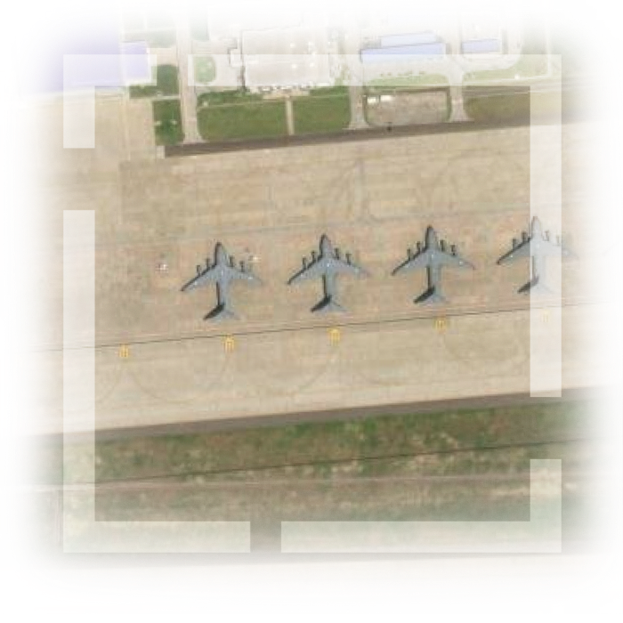
an airport image and red airplanes showing change detection

Tactics

Images, video, link analysis, peer-to-peer communication, and location tracking with real-time information sharing are used to provide intelligence support for the execution of planned and unplanned operations. Be ready to respond to incoming information and provide situational awareness to decision-makers as events evolve. ArcGIS for operational intelligence software gives you the edge for tactical response and review.

An inset digital map of an arid area with elevation data

Extending ArcGIS as an operational intelligence platform


Focused applications are built to extend ArcGIS to seamlessly connect users to the data sources they need, when they need it, for swift decision-making and action. A variety of information—spatial, nonspatial, unstructured, and structured data, imagery, and video—can be explored through multiple perspectives like 2D and 3D maps, imagery projects, link charts, graphs, and histograms for more informed investigations and intelligence. These interactive apps are empowered by server extensions to maximize the power of enterprise.

Explore extensions

Operational intelligence capabilities


ArcGIS is an interoperable system built to support your data integration and technology modernization strategy. ArcGIS software can be used on a desktop, the web, or mobile devices with a flexible and agile configuration. Here are examples of how it supports each OPINTEL capability.

previous
Next

Impact Study

Reducing expenses with remote inspection

An energy company used ArcGIS Excalibur to remotely analyze and more efficiently repair power line damages to avoid interruptions in transmission.

Read this story

Team awareness meets command and control

Plan, execute, and evaluate operations with ArcGIS Mission. Share information in real time to provide intelligence support, situational awareness, and two-way tactical team communication in one common operating picture for the execution of planned and unplanned events.

Play the video
A member of a security team holding a mobile device and a two-way radio in between cropped squares of maps overlaid with a play button

ArcGIS delivers support across all industries


For years, mission-oriented organizations in both private and public sectors have relied on ArcGIS to plan and execute their operations with a geographic approach. Learn about how each industry puts operational intelligence into action.

previous
Next

Resources

Take a deep dive into understanding the components of the ArcGIS for operational intelligence software with curated collections of tutorials, articles, and documentation.

previous
Next

Sign up for the newsletter


Discover what’s new for ArcGIS for operational intelligence and receive tips and tricks from product experts.

Contact us

Outside the United States