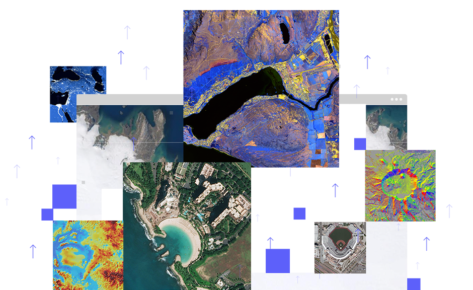
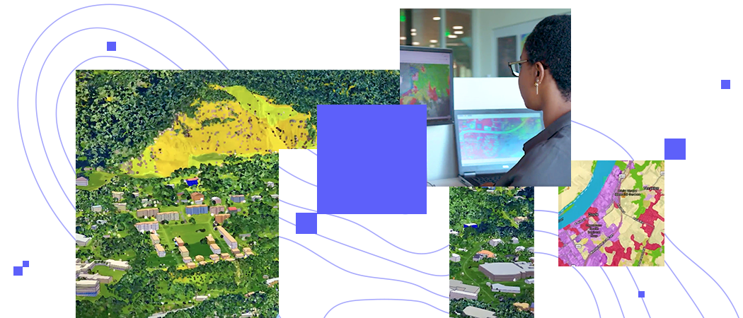
Skip to Content

Unlock the full potential of your imagery

Transition from data to insight faster with ArcGIS Image for ArcGIS Online

Get started
A collection of images, each a brightly colored map displaying elevation, population density, or other map features

The volume and variety of available imagery and remote sensing data is increasing by the day. To help you make the most of it, Esri is expanding our imagery offering to bring image management and analysis capabilities to the cloud so you can easily host, analyze, and stream imagery and raster collections. Explore how ArcGIS Image for ArcGIS Online can help you access fast, connected tools that bring the world into focus. Accelerate understanding, inform decisions, and inspire action.

Integrated imagery workflows made simple

See data from a new perspective by seamlessly integrating imagery and GIS workflows into a single ecosystem to help you make better decisions.

Aerial photos of villages, a map, and a photo of a person using a computer

What is ArcGIS Image for ArcGIS Online?

ArcGIS Image for ArcGIS Online is an extension designed to help you manage, interpret, analyze, and share imagery and derived insights. Easily host imagery in the cloud, eliminating the need to manage your own infrastructure, and perform analytics at scale.

Previous
Next

How it works

Host imagery

Upload imagery and rasters into ArcGIS Online for secure storage and management.

Stream imagery

Stream tiled imagery for fast client-side rendering and analysis, and serve dynamic imagery that offers on-the-fly processing and mosaicking.

Analyze imagery

Leverage rich insights from imagery and raster data to understand climate change, combat wildfires, perform urban planning, and more.

Common analysis workflows

Explore how organizations across many industries are performing powerful analysis on imagery and raster data to solve problems and build a better world.

Previous
Next

An extension of ArcGIS Online

ArcGIS Image for ArcGIS Online is licensed through the new ArcGIS Image for ArcGIS Online user type extension, available as a paid add-on license for the Creator and GIS Professional user types.

This new user type extension is required to host imagery, publish tiled and dynamic image services, and perform image analysis and raster analytics in ArcGIS Online. It is not required to access tiled and dynamic image services. These services can be accessed by any user they've been shared with, regardless of user type.

Contact sales


Please share your information, and our sales team will contact you soon. We look forward to communicating with you.