
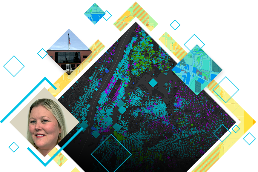
Testimonial: Whiteside County, IL
Esri local government solutions in action
See how one local government has transformed their organization with GIS
Local governments face a growing list of complex challenges. The changing social and economic environment requires a nimble, data-driven approach. Traditional workflows are no longer sufficient, and local governments desperately need better ways to organize, gain insights, and communicate with the community—and they need to implement new methods with limited time and resources.
Esri local government solutions can help you modernize quickly. Preconfigured maps and apps provide ready-to-use digital workflows for every initiative. Esri solutions support your operations holistically, too: built around geographic information system (GIS) technology, these tools help you unify all of your information using location as the connecting thread. You can deploy across every department efficiently—no custom applications or IT infrastructure required.
Hear firsthand from one successful Esri local government solutions customer: Lauren Lee, GIS coordinator for Whiteside County, Illinois. She has effected real change in her community by deploying maps and apps to manage county operations, from elections to land use and zoning to public health—all without a large department to support county-wide GIS initiatives.