
Ebook
Integrating Knowledge with Geospatial Digital Twins
Providing context and connections
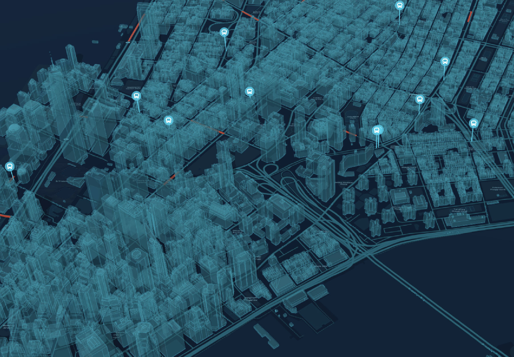
Digital twins—virtual representations of the real world—provide contextual understanding and can be used to predict and visualize what might happen in the future. Leaders and organizations across nearly every industry use digital twins to gain clarity and implement crucial decision-making frameworks.
In this ebook, discover the difference between digital twins for design and construction, planning, network management, operations, and the environment. Explore 14 short case studies from leading organizations that feature compelling examples of how they plan, manage, and benefit from digital twins.
Download now
Fill out the form to download the ebook and discover the power of geospatial digital twins.