Accurate Drone Surveys

Accurate Drone Surveys

End-to-end drone mapping software with Site Scan for ArcGIS

Contact sales
Laptop computer analyzing drone imagery of a castle and an iPad showing the flight pattern of a drone around a castle

Increase the accuracy of your drone surveys with high-quality data captures using Site Scan for ArcGIS. Fly supported real-time kinematic (RTK) drones and use ground control points and checkpoints to enhance and validate the accuracy of your data. Terrain Follow allows for better data capture by maintaining a constant height above ground, ensuring constant image resolution and overlap. Easily share projects throughout your organization on any device, in formats your stakeholders need. Site Scan for ArcGIS is the end-to-end, cloud-based drone mapping software designed to revolutionize imagery data collection, processing, and analysis.

Reality Capture with ArcGIS

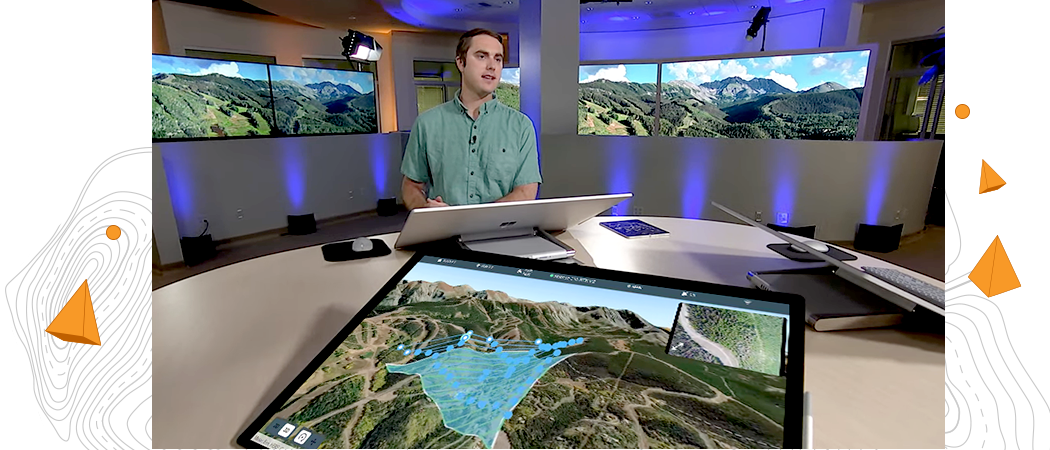
Man standing at a large round table in front of a large computer monitor with 2 large TV monitors showing a digital 3D image

Complete drone mapping software in the cloud

Plan autonomous drone flights in 3D

Increase efficiency by creating and sharing advanced 3D flight plans with your pilots. Overlay 2D and 3D data from ArcGIS Online and ArcGIS Enterprise for enhanced flight safety and data quality. Manage your data in the field and upload it to the cloud.

Ipad screen of a flight plan with terrain follow feature enabled showing the profile view of the flight

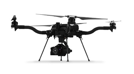
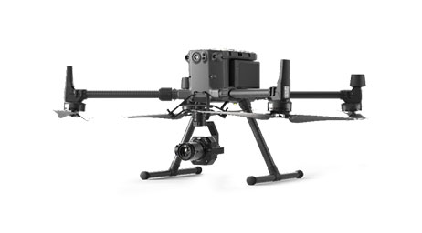
Recommended drones

Site Scan for ArcGIS supports the processing of virtually any georeferenced image captured by a drone, whether you use ArcGIS Flight or a different flight planning app. Learn more about which drones work with ArcGIS Flight for flight planning and drone data capture.

Previous
Next
Explore supported drones

Customer spotlight

Saving time and money during construction at Brasfield & Gorrie

One of the largest privately held construction firms in the US achieves real-time site planning and monitoring with seamless integration of drone imagery and GIS.

Staff use spatial analytics to accurately assess materials, track resources such as gravel and fabric, and reveal cost-saving opportunities.

Detailed 3D model of several large buildings and a sports field laid out around a town street corner

Contact sales

Talk to us to get started with Site Scan for ArcGIS.