USER STORY
Bird Watching Project Helps Save Lake Eymir's Endangered Species
Lake Eymir and its surrounding area are part of the Middle East Technical University (METU) campus and home to a wide range of flora and fauna. Students at METU are continually researching and documenting the diversity of plants, butterflies, mammals, and birds of the region.
İbrahim Kaan Özgencil is a PhD student in the METU Department of Biological Sciences and a board member of METU's Birdwatching Club. As of 2018, Özgencil has been leading a project, Investigating the Biodiversity of Lake Eymir Area's Forest and Steppe Ecosystems and Determining Conservation Priority Zones.
The Birdwatching Club carried out the research on birds, aiming to uncover the physical, biological, and man-made elements that may have an impact on the distribution of birds within the area. As a result, the project defines priority areas of bird protection as well as zoning areas for humans' activities, based on scientific grounds findings.

Challenge
One of the main difficulties of this project has been the lack of funds to survey this huge area, consisting of 13 square kilometers of mostly forestland and partly rocky terrain. The project area includes Lake Eymir, which has an S-shaped surface area of 1.1 square kilometers and circumferential length of about 9 square kilometers. Members of the Birdwatching Club were using paper maps and forms. A lot of time was lost in digitizing the data. It was almost impossible to cover the study area in this manner. A more efficient and much faster way was needed.
Another challenge has been the timely execution of the research. To compare results with previous studies, Özgencil and his team need to surveil every corner of Lake Eymir monthly over the duration of one year. This is especially demanding for a small research team.

Solution
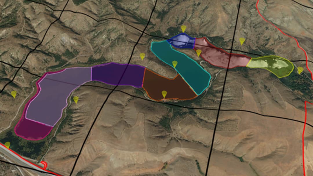
As a nonprofit organization, METU received an Esri Conservation Program; this grant covered the cost of geographic information system (GIS) software and analysis. ArcGIS was used to identify the appropriate field sites and divide them into the sub-areas for the research. Then ArcGIS was used to digitize these locations onto maps in order to efficiently plan fieldwork. From identifying the easiest-to-walk observation routes to choosing vantage points with the widest perspective for counting birds, ArcGIS allowed the project team members to effectively plan their work.
As a popular recreational area for people in Ankara and the four surrounding satellite cities, Lake Eymir is frequently visited by bird watchers and nature lovers. Despite the limited access of motor vehicles to some small areas, visitors enjoy many activities at Lake Eymir such as having picnics, going on nature walks, jogging, and cycling.
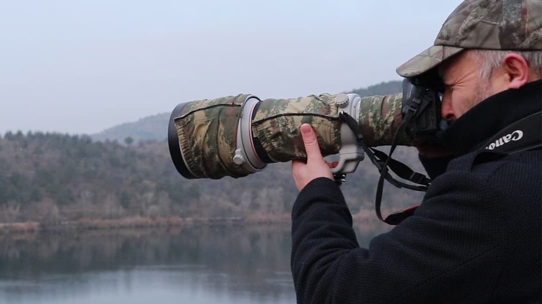
To overcome its lack of manpower, METU's Birdwatching Club recruited many volunteers for the project. Matching the interest of bird researchers and keen nature lovers, this large-scale environmental project turned data collection into a scientific study with community participation in which everyone could contribute. With the help of Survey123 for ArcGIS, visitors uploaded the data they collected from dedicated bird-watching stations located around the lake. This greatly increased the amount of data collected for the project. With the help of ArcGIS, new and strategic data collection spots have also been identified for better bird watching.
To overcome the challenge of digitizing the data, Collector for ArcGIS was employed as well for the important task of data collection. With the help of Collector, spatially precise data was collected by field teams in an already-digital format. This saved a lot of time that was better dedicated to spatial analysis. With its rich and versatile analysis tools and open data layers, ArcGIS enabled the project team to work effortlessly and assess the many spots for point counts, the counting of each and every water bird. Scientists were able to process all elevation and slope profiles, habitat coverings, and vegetation statuses as well as the human impact on the sub-areas.
As the project leader, Özgencil sees the fairly quick identification and analysis of the physical and biological characteristics of all work sites as being the most valuable benefit of using ArcGIS.

Results
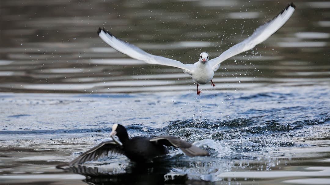
The project is still ongoing, but already some aims have been reached and many results achieved. A list of the prevalent bird species and the size and location of each population—including the ones that need protection—was completed.
The visualization features of ArcGIS let scientists translate their intricate studies into images that are easily understood by everyone, enabling them to spread the good cause.
Esri Türkiye assisted the project team with regards to hands-on software training, product features, and technical support. The project team was very impressed with Esri's Drone2Map for ArcGIS and has made plans to include it in the next phase.
"The project came out with resolutions pertaining conservation biology and spatial ecology," says Özgencil. "Now we know everything about our bird species, naming the physical, biological, and man-made factors which directly affect the bird distribution in the Lake Eymir region. We also identified priority zones for bird protection. This allowed us to better plan the location of new recreational activities and services for the area—away from concentrations of endangered species."
Collaborators: İbrahim Kaan Özgencil, Faruk Kayin, Sibel Özkan, Nadine Sherif.