What is a digital twin?
Mirroring the real world with GIS
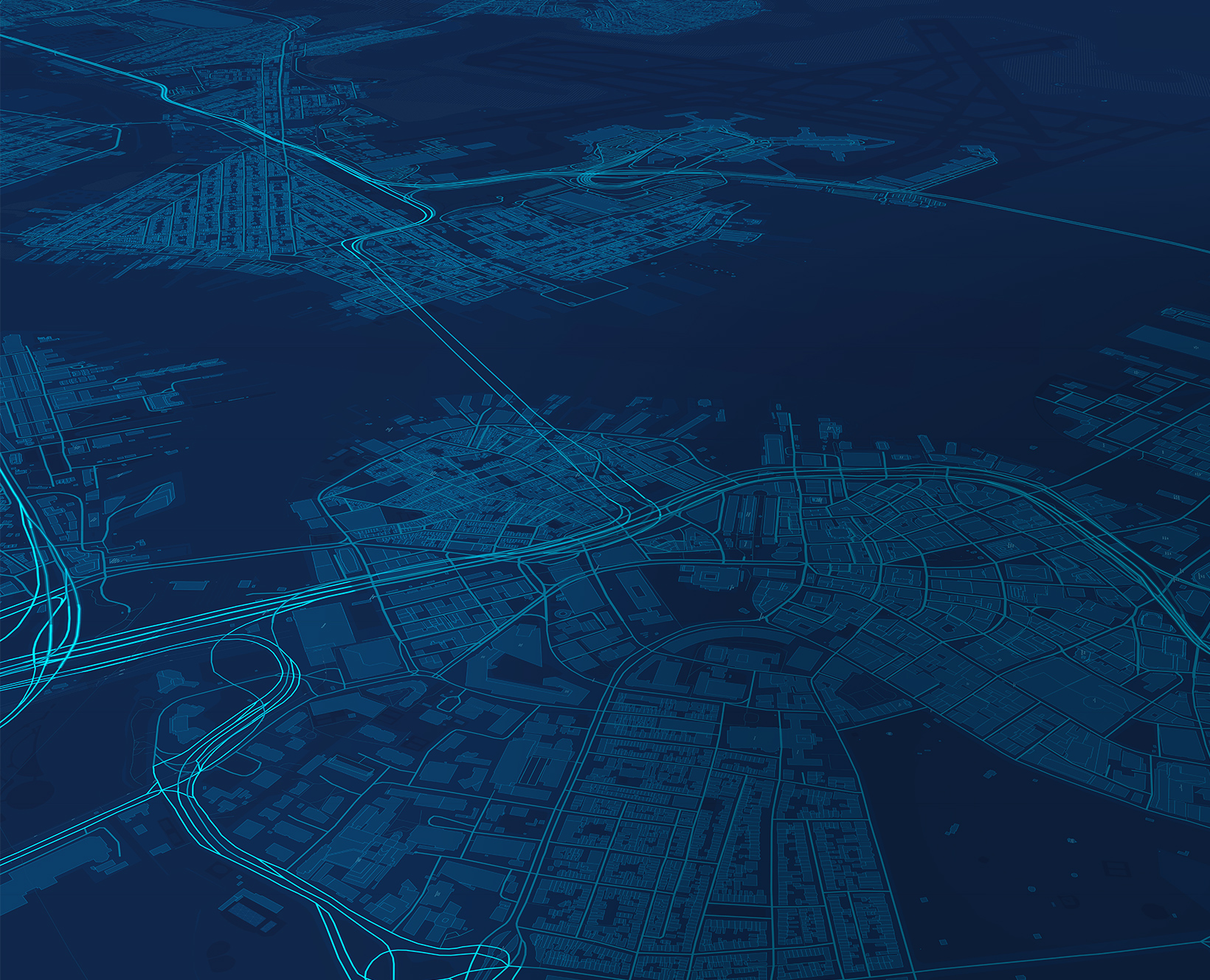
A digital twin is a virtual representation of reality, including physical objects, processes, and relationships. When built on a foundation of geography, it becomes a geospatial digital twin.
Geospatial
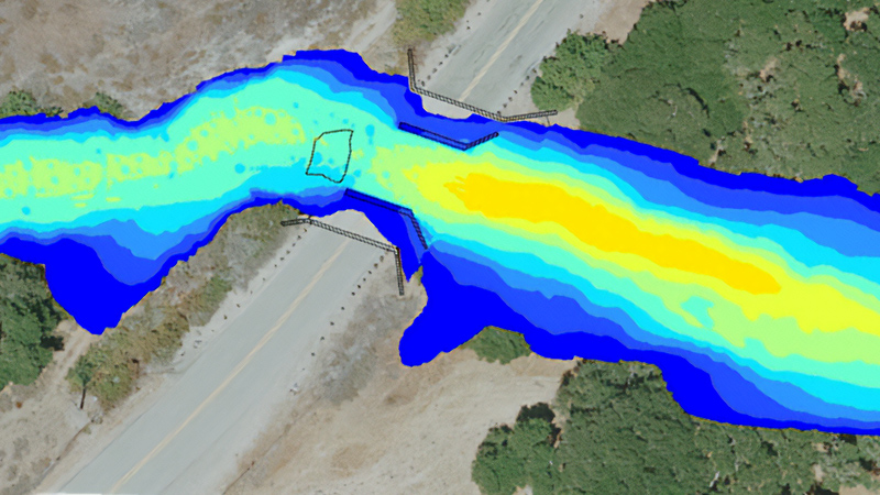
Accurate representations of complex systems require robust maps and spatial analytics from geographic information system (GIS) technology.
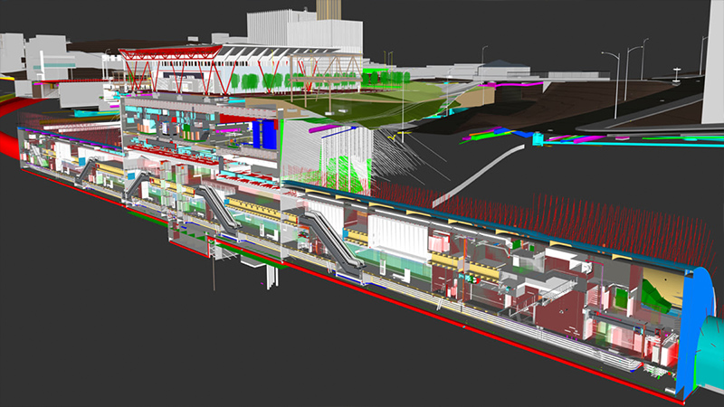
Time aware
GIS-based digital twins go beyond 3D models as they reflect change over time—showing historic, current, and future states.
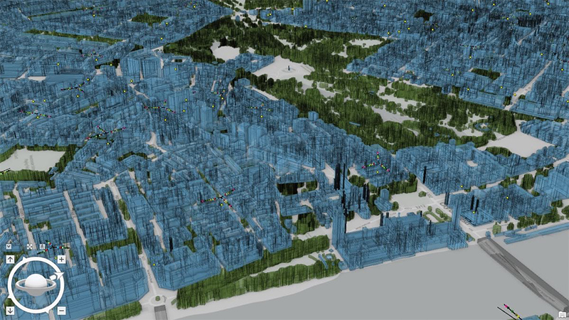
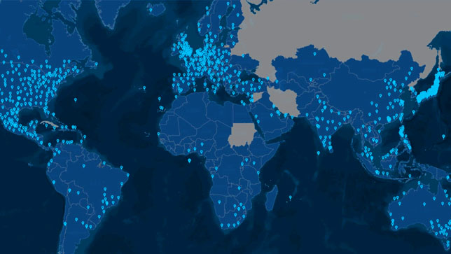
Scalable
From single facilities to large built and natural systems, geospatial digital twins scale to meet changing needs.