Book details
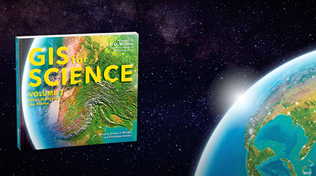
GIS for Science: Maps for Saving the Planet, Volume 3, highlights real-world examples of scientists creating maps about saving life on Earth and preserving biodiversity.
With Earth and the natural world at risk from various forces, geographic information system (GIS) mapping is essential for driving scientifically conscious decision-making about how to protect life on Earth. In volume 3 of GIS for Science, explore a collection of maps from scientists working to save the planet through documenting and protecting its biodiversity.
In this volume, learn how GIS and data mapping are used in tandem with
- Global satellite observation
- Forestry
- Marine policy
- Artificial intelligence
- Conservation biology, and
- Environmental education
to help preserve and chronicle life on Earth. This volume also spotlights important global action initiatives incorporating conservation, including Half-Earth, 30 x 30, AI for Earth, the Blue Nature Alliance, and the Sustainable Development Solutions Network.
The stories presented in this third volume are ideal for the professional scientist and conservationist and anyone interested in the intersection of technology and the conservation of nature. The book’s contributors include scientists who are applying geographic data gathered from the full spectrum of remote sensing and on-site technologies. The maps and data are brought to life using ArcGIS software and other spatial data science tools that support research, collaboration, spatial analysis, and science communication across many locations and within diverse communities. The stories shared in this book and its companion website present inspirational ideas so that GIS users and scientists can work toward preserving biodiversity and saving planet Earth before time runs out.
Note: An online companion to GIS for Science, Volume 3: Maps for Saving the Planet, is also available. Access the online companion’s digital object identifier (DOI) at
Dawn J. Wright
Dawn J. Wright is a geographer, oceanographer, and the Chief Scientist of Esri. She is a leading authority in the application of geographic information system (GIS) to environmental science and the author and editor of numerous scientific books and articles.
Christian Harder
Christian Harder is a technology writer and information designer at Esri. He is the author or coauthor of numerous books on GIS, including The ArcGIS Book (Esri Press, 2017) and The ArcGIS Imagery Book (Esri Press, 2016).