Book details
To conserve our natural assets—our green infrastructure—we need to map them, and plan for their protection.
Every day, decisions about land development are made—often without consideration to the natural features and functions already there. The placement of housing on rich soil, paving over aquifer recharge zones, or disconnecting wildlife corridors are mistakes easily avoided if we start to consider our natural elements as part of our infrastructure.
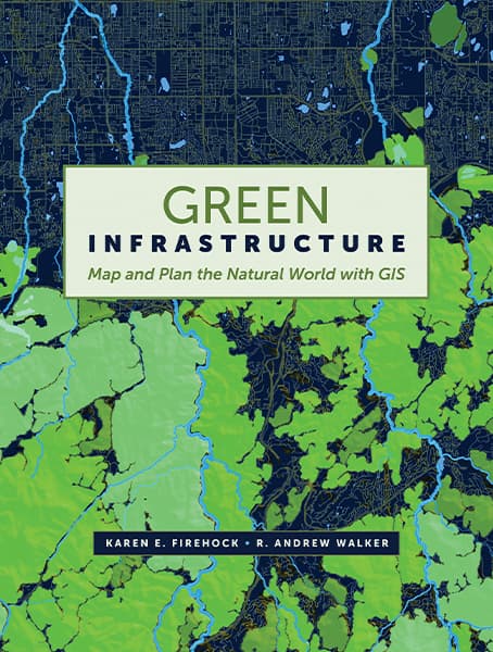
Green Infrastructure: Map and Plan the Natural World with GIS describes the why and how of green infrastructure (GI) mapping and implementation through text, maps, and online illustrations. It explains how to utilize the national model that Esri has built using Green Infrastructure Center's methodology. This six-step process provides a framework for thinking strategically about GI planning and details how to set goals to inform GI maps in order to meet real needs on the ground. Using actual data to create two case studies, this book shows how the Esri model and data from the Esri Living Atlas can be adapted using local data to create a custom GI plan.
With a green infrastructure strategy, communities can work to preserve and connect open spaces, watersheds, wildlife habitats, parks, and other critical landscapes. Green Infrastructure: Map and Plan the Natural World with GIS explains how to protect and foster a connected, resilient, and biologically diverse landscape for sustainable growth.
Karen E. Firehock
Karen E. Firehock, principal author, is executive director and cofounder of GIC and is on the adjunct faculty in the Dept. of Urban and Environmental Planning and Landscape Architecture at the University of Virginia. She has worked in the environmental field for 30 years.
R. Andrew Walker
R. Andrew Walker is a GIS analyst, modeler, and land planner. He provided much of the graphics support and technical instructions for the mapping in this book. He has more than a decade of experience with high-level GIS analysis and modeling.