Book details
Educators: Find desk and exam copy access via ebook
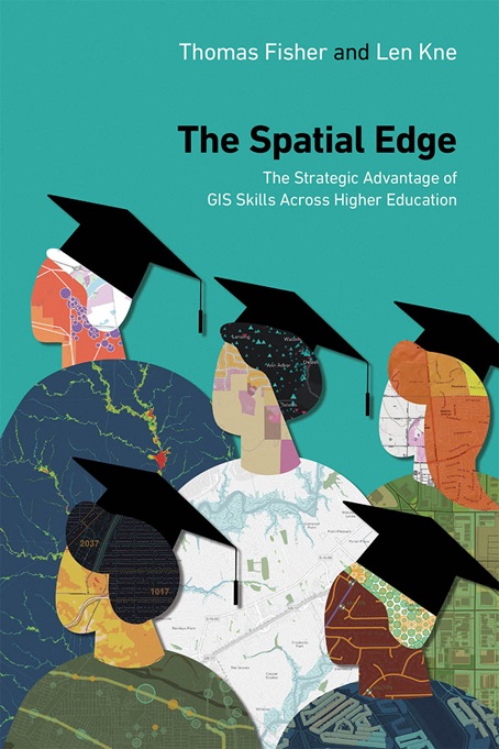
Bring your campus together academically and operationally with The Spatial Edge: The Strategic Advantage of GIS Skills Across Higher Education.
Although GIS is now widely taught in higher education, it is typically associated with a handful of areas of study: geography, planning, natural resources, and landscape architecture. The Spatial Edge uses a series of case studies to show how integrating a geographic approach can unite campuses and address challenges by fostering spatial thinking across academic disciplines and university operations. It highlights the expanding role of GIS beyond traditional fields to enhance teaching, research, logistics and planning, and community engagement in higher education worldwide.
This guide is easy to use and highly accessible, showing administrators and educators the many ways in which their colleagues, in virtually every field, are using GIS to:
- teach students
- conduct research
- connect with communities
- operate facilities
- produce geospatially skilled graduates, ready for the workplace.
This guide will bridge the gap between disciplines, and show how:
- educators are using GIS in the classroom in creative ways
- researchers are using it in an array of scholarly projects
- facilities managers are using it to operate universities more effectively
- andcommunity organizers are using it to engage community members.
Learn how you can use GIS to proactively solve challenges at your campus to benefit management, students, and staff.
Thomas Fisher is the director of the Minnesota Design Center, and Dayton Hudson Chair in Urban Design. He is a graduate in architecture at Cornell University and in intellectual history at Case Western Reserve University. Fisher was also previously the Editorial Director of Progressive Architecture magazine. Recognized in 2005 as the fifth most published writer about architecture in the United States, he has written nine books, over 50 book chapters or introductions, and over 400 articles in professional journals and major publications. Named a top-25 design educator four times by Design Intelligence, he has lectured at 36 universities and over 150 professional and public meetings. He has written extensively about architectural design, practice, and ethics. His most recent book is Designing our Way to a Better World (University of Minnesota Press, 2016).
Len Kne is the director of U-Spatial at the University of Minnesota, an internationally recognized center that supports the geospatial needs of over 2,000 researchers across 150 departments and centers. He brings extensive experience with GIS and Information Technologies in higher education, private sector, government, and non-profit organizations to his work at U-Spatial and is on the faculty of the Master of Geographic Information Science program. He is looking forward to the day when everyone thinks spatially.