Esri, Skytec, and Open Space Institute understand the value of the geographic approach for land trusts and local conservation
Writers: Adam Jenkins (Esri), Andy Carroll (Skytec), and Neil Jordan (Open Space Institute)
According to the National Land Trust Census, there are well over 1,300 land trusts focused on local conservation across the United States. Of these organizations, 60 percent are volunteer-led. The Land Trust Alliance (LTA), an accredited national land conservation organization, represents 1,000-member land trusts supported by more than 200,000 volunteers and 4.6 million members nationwide.
At a volunteer-led organization, a work culture that is creative, resourceful, and adaptable is a necessity. In more cases than not, the need to take on many responsibilities and accomplish more with less is a daily reality.
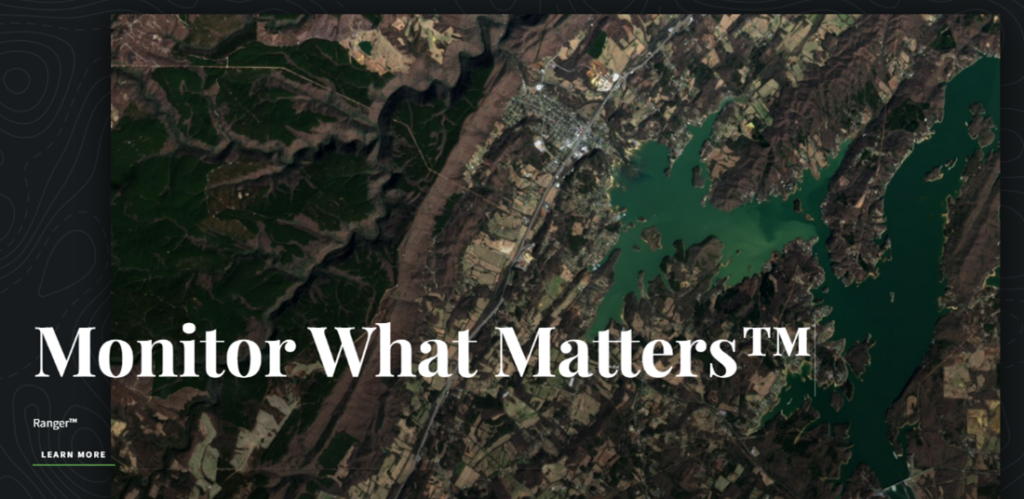
Energy costs and staffing challenges make a strong case for finding effective ways to monitor conservation areas. Monitoring change from satellite imagery (pixels), and operationalizing that change by putting actionable data (polygons) into the hands of stewardship staff (people), is central to Skytec LLC’s Ranger solution. Built on Esri technology, the solution enables land trusts to monitor what matters.
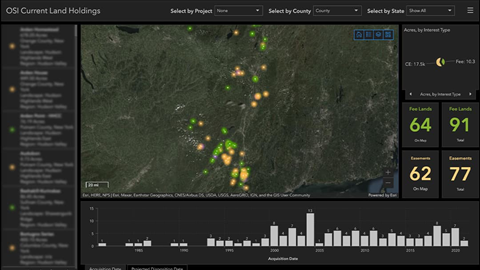
In a little over a year, the Open Space Institute (OSI) has transformed the way staff uses spatial information. OSI’s workflow has evolved from many static maps to data-driven dashboards used by all levels of staff in both planning and coordination discussions.
My goal is to create a system that is so easy to navigate and understand that, regardless of their familiarity with GIS, my colleagues’ first thought is to come to OSI’s Geospatial Hub instead of sending an email asking us for a one-off static map or shapefile.
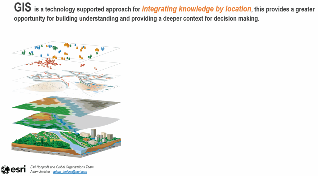
So, what do Esri, a privately owned software company that’s over 50 years old; Skytec, a young and nimble technology-driven consulting firm; and the 48-year-old, LTA-accredited land trust Open Space Institute have in common? They understand the value of the geographic approach.
September 15–17, Esri’s nonprofit team, Skytec, and Open Space Institute will be joining thousands of attendees at the 2022 Land Trust Alliance Rally (LTAR) in New Orleans, Louisiana. They will be sharing their successes in using a geospatial approach to land conservation. If you are attending LTAR this year, we welcome you to come to learn more about our collective work and meet the people involved, in person.
You can find us during the Regional Reception on Thursday, September 15, 5 p.m. – 6:30 p.m. as well as the Welcoming Dinner. Please stop by and see Esri at exhibit booth #202. If you are unable to attend LTAR this year, we encourage you to reach out and learn more about how land trusts can make the best use of Esri technology through the nonprofit program non_profit_inquiry@esri.com and capture the same successes as Skytec and the Open Space Institute for your organization.