USER STORY: Brunswick Electric Membership
Web Maps Speed Service Restoration after Major Hurricane
Brunswick Electric Membership Corporation (BEMC) serves more than 96,000 electric services along the southern coast of North Carolina. In 2016, Hurricane Matthew impacted BEMC's service territory, causing serious flooding and damage to infrastructure. A later review by the Federal Emergency Management Agency (FEMA) emphasized the importance of prompt and accurate damage assessment. This motivated BEMC to add geographic information system (GIS) capabilities that would improve both the utility's storm response and its normal operations.
Based on the FEMA recommendations, the utility added additional capability to help gather damage assessment details and provide better information in the field. This enabled workers to easily document problems at their exact location. BEMC also captured photographs of damage to support FEMA reimbursement requests.

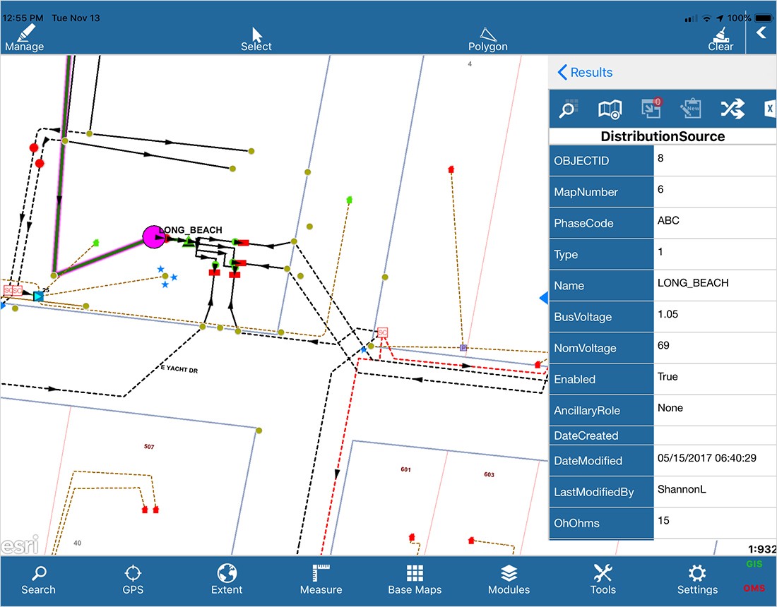
BEMC added Portal for ArcGIS to the existing Esri technology-based system of record for electric facility data. The utility was already expanding its use of the FieldPro mobile solution from Futura Systems. Futura Systems is an Esri business partner that employs the ArcGIS foundation to provide integrated tools that deliver powerful, user-friendly GIS functionality. FieldPro provides mobile mapping and asset management. The utility added a third-party forms application for additional collection functionality. The entire solution provided a very convenient way to utilize mobile iPads to search and display facility information, get directions, and record storm damage.
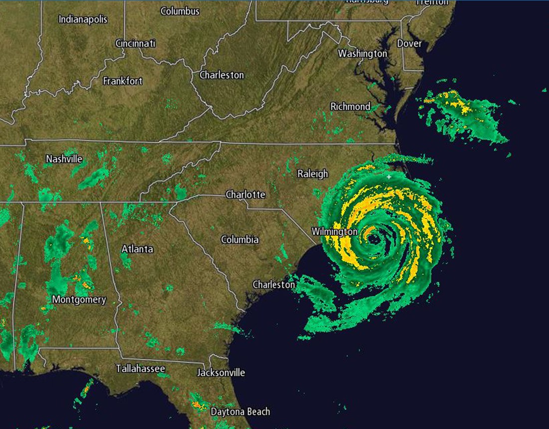
In 2018, Hurricane Florence brazenly challenged BEMC's new preparations. The catastrophic storm inundated the Carolinas with more than 30 inches of rain in just a few days. BEMC staff leveraged Portal for ArcGIS to prepare, evaluate, and execute their storm recovery efforts safely and efficiently.
As Florence approached the coastline, BEMC staff went on full alert. Using Portal for ArcGIS, GIS department staff created powerful web maps. These maps incorporated fresh damage assessments and real-time data from numerous vital sources. Local Department of Transportation (DOT) data showed road closures across the 1,500-square-mile service territory. Imagery from the National Oceanic and Atmospheric Administration (NOAA) helped to better understand the weather outlook. Weather radar data provided real-time information about the tremendous rainfall. These tools allowed BEMC to prepare for and manage the many personnel that were necessary to respond to the hurricane.

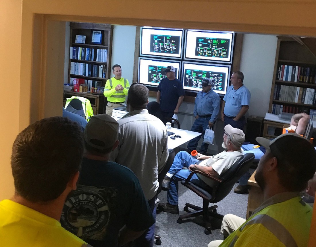
Electronic damage information poured in every evening and was immediately available the following morning for planning and work management in the storm operations center. BEMC distributed this information combined with the real-time data using web maps. These instant web maps could be accessed anywhere by anyone with a network connection, significantly improving communication, planning, and response.
Over 400 personnel responded from contract organizations and mutual-aid utilities from across the United States to help restore power. BEMC personnel acted as guides for these crews, directing their work with excellent and detailed mobile information. Crews responded directly to prioritized locations in addition to the standard practice of patrolling individual distribution circuits. This approach saved critical restoration time.

Hurricane Florence put the staff and systems at BEMC to an extreme real-world test. The new GIS capabilities enabled BEMC to make strategic preparations before the storm. With more than 80 percent of the BEMC service territory out of power, real-time data enabled decision-makers to optimize their efforts and restore power to 95 percent of customers within just three days.
"Web maps were a game changer for BEMC and are now standard for every storm. Our decision-makers really appreciate a clear picture of real-time field conditions. After they saw the web maps, they didn't ask for anymore printed damage assessments."—Samuel Puschaver, GIS Supervisor, Brunswick Electric Membership Corporation
"The simple, elegant design of Portal [for ArcGIS] enabled our organization to implement effective GIS products to help restore power to 95 percent of customers within three days."
Kirby Whitley, GIS Analyst, Brunswick Electric Membership Corporation.
GIS for Electric Utilities
A minute without power inconveniences customers and reduces revenues. Use ArcGIS mapping and analytics to identify vulnerabilities before a failure occurs. See real-time data on weather, crews, demand, and outages. Keep power flowing and workers safe.