Global Public Health
Grant Program
Esri grants provide GIS tools and training for ministries of health and government health agencies in countries with low- and middle-income economies.
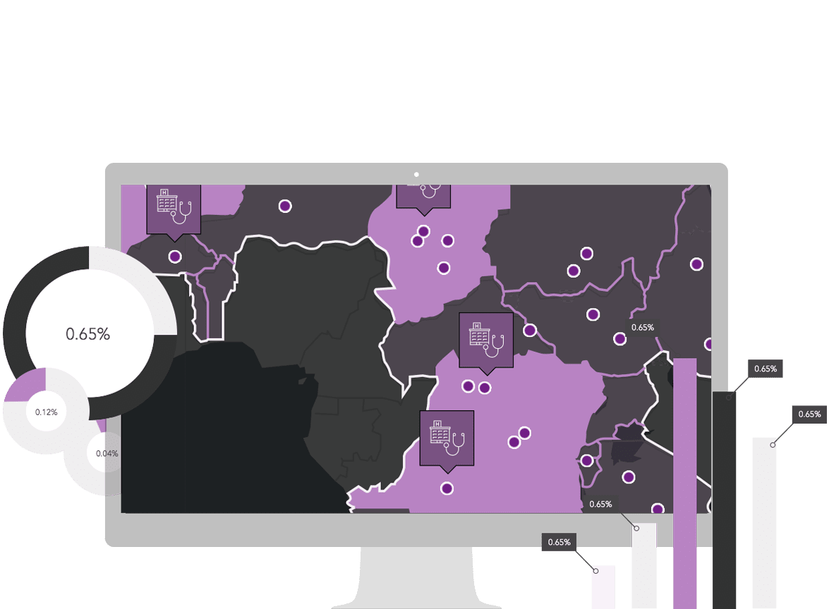
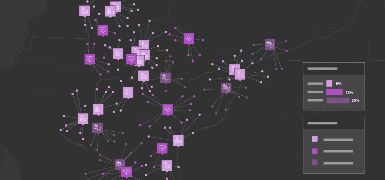
Optimize access to care and resources
Access is a concern whether you are focused on Universal Health Coverage, vaccine delivery, or ensuring citizens have clean water supplies nearby. Geospatial technology facilitates the calculations of accessibility and helps you connect people with available resources.

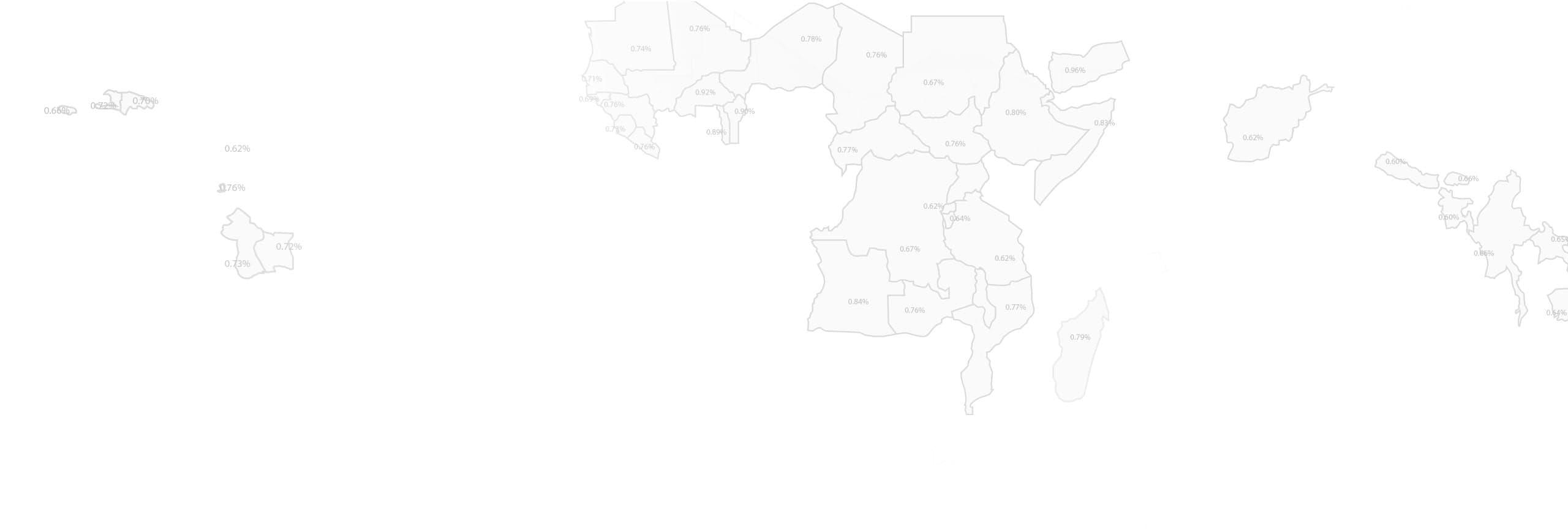
Monitor disease status in your country
Whether you’re tracking the spread of infectious diseases or looking at the changes in chronic disease over time, GIS offers many tools for surveillance. In a single integrated platform you can visualize, analyze, model, predict, and intervene when something happens.
Improve maternal and child health
As a key focus for sustainable development, countries can enhance their strategies around reducing maternal mortality and child/infant deaths by pinpointing clusters of need and targeting outreach efforts.
Are you ready to apply?
We just need some basic information to begin.