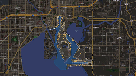
Navigating ArcGIS Applications for Ports
Learn how valuable assets, capital improvement projects, and operations can be monitored through nimble applications in ArcGIS.

Discover new insights, innovative best practices, and the latest advances in GIS technology.

Date: January 01 – December 31, 2023
Location: Virtual
Cost: No cost
Register for this four-part webinar series to learn from port subject matter experts, thought leaders, and users who will discuss GIS trends and new technical advancements.
Navigating ArcGIS Applications for Ports
Getting Started with GIS for Ports

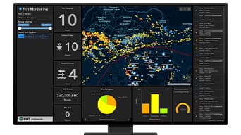
Location Intelligence for Port Security
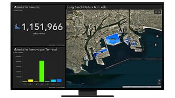
Manage Your Berths and Channels with GIS