A parked police car and fire engine with a blue hue over the image

Sign Up for The Public Safety GIS EBrief

Your source for the latest public safety GIS news, use cases, trends, and technology.

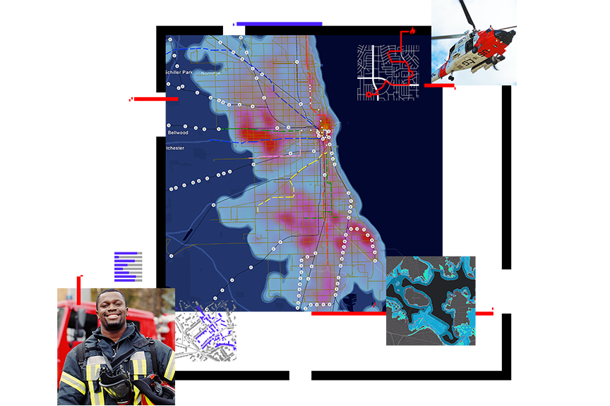
A large public safety map in the center and smaller images around it of a firefighter, an emergency helicopter, and a map

Never miss the latest public safety GIS content

The Public Safety GIS eBrief is your source for all things related to GIS in public safety. This bimonthly eBrief delivers the latest content—including customer and technology use cases, industry trends, upcoming events, and more—directly to your email inbox. Sign up to stay informed and up to date with the latest developments.

Discover how public safety uses GIS

The eBrief includes stories and insights into these public safety industries:

  • Emergency communications
  • Emergency management
  • Fire, rescue, and emergency medical services
  • Homeland security
  • Humanitarian assistance
  • Law enforcement
  • Security operations
  • Wildland fire
A panoramic view of a city built on a waterfront and red public safety icons indicating fire, tornados, police, healthcare, and more, hovering over the city

Sign up to receive the Public Safety GIS eBrief

Fill out the form to receive the bimonthly eBrief from Esri