Supporting Safe Streets for All
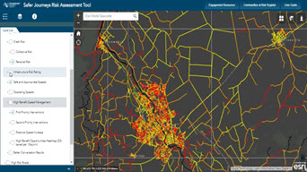
Safety is a top priority for the USDOT. Agencies can apply for funding resources to improve transportation infrastructure using GIS technology.
Discover new insights, innovative best practices, and the latest advancements in GIS technology.

Date: October 26th, 2023 and August 29th, 2023
Time: 10:00 a.m. -11:00 a.m. (PT)
Location: Virtual
Cost: No cost
Language: English
In this webinar series, you will learn how to leverage GIS capabilities to improve mobility and ensure a safe and reliable transportation system. By utilizing GIS, you will transform your organization into a spatial data and performance-driven agency to better plan, manage, and maintain your infrastructure.
Supporting Safe Streets for All

Leveraging GIS to Transform Airport Planning
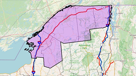
Designing resilient transportation networks
Mapping Your State for Advanced Air Mobility
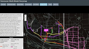
Transportation Networks of the Future
Recorded transportation webinars
Enhance Facility Management Operations for DOTs
Esri & Agile Assets: Pavement Management
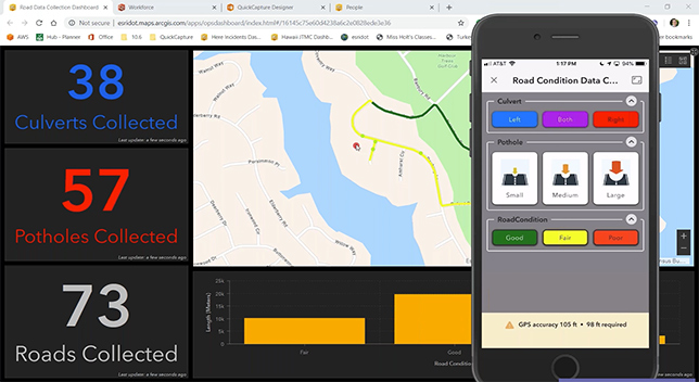
ArcGIS QuickCapture - Data Collection at Speed

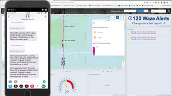
Creating a Traffic Ops Dashboard
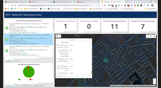
Location Intelligence and Materials Management
CAD / GIS Integration and Workflows
Real-Time Snow Management
The Future of 3D in Transportation
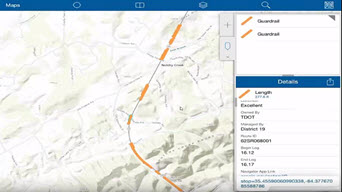
Collecting and Managing your Assets
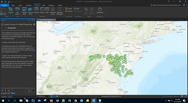
Mobile Field Data Collection
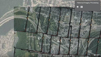
Managing Imagery for DOTs
Damage Assessment and Recovery Management
LiDAR and Imagery Management for State DOTs
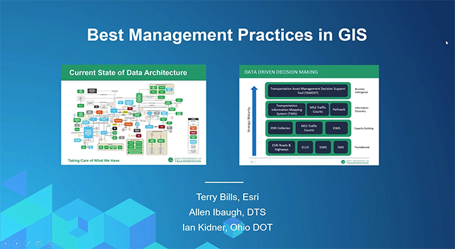
Best Management Practices
Machine Learning, AI, and GIS

ArcGIS as a System of Engagement
Imagery Management for DOTs
ArcGIS Roadway Reporter
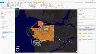
Project Planning for Transportation Agencies

Targeted Safety Interventions with ArcGIS
GIS and Out of Context Curves
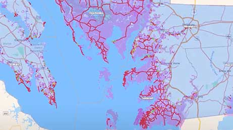
GIS and Safety Management

Defining a Safety Management System for DOTs