Skip to Content

Sustainable Development Goals (SDGs)

Take a geographic approach to ensure no one is left behind

Women wearing headscarves and laughing, hands cupped together, a sea turtle, and a map with red and yellow shaded areas.

Accelerate action on the UN Global Goals

The United Nations (UN) 2030 Agenda for Sustainable Development, and the 17 SDGs, are a global call to action in support of people, the planet, prosperity, and peace.

GIS technology provides a powerful way to collaborate and understand the social, economic, and environmental dimensions of each goal. Apply a geographic approach to identify common ground and speed collective action.

Drive progress with GIS

Gain a location-based understanding of the factors that influence development goals to effectively target action within communities.

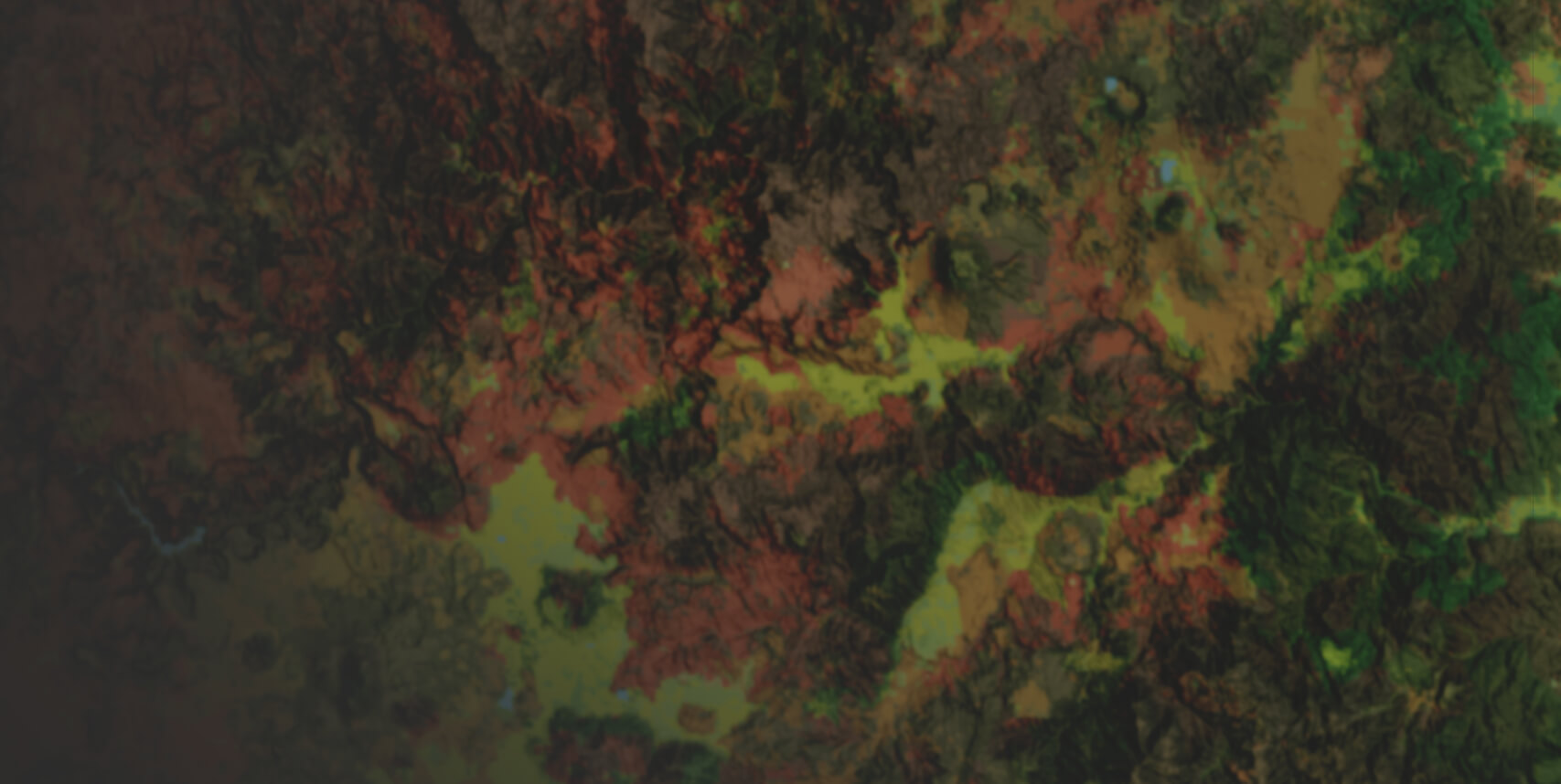
Integrate and collect SDG data for reporting

Location is key to understanding SDG indicators. With ArcGIS, you can integrate administrative, census, and demographic data from business systems, tabular sources, and earth observations. Support accurate data collection in any environment to ensure data is current for analysis and reporting.

Man standing in a wheat field looking at a tablet computer

Calculate and analyze SDG indicator data

ArcGIS uses spatial data science to examine and analyze SDG indicator data in relation to geographic location. With this insight, you can do more than map where things are. You can understand patterns and trends that help focus your efforts on the right locations.

Map analysis showing red, orange, and yellow circles of varied size

Communicate progress and maximize impact

Using GIS to provide maps and data organized around the SDGs gives stakeholders transparency and guarantees that everyone has the most current insight on progress toward goals. This reduces duplication and ensures limited resources are applied to locations that can make the greatest impact for people and the planet.

Two people communicating and one person looking on in the background

Start developing a sustainable future

Accomplish your community’s goals with GIS resources and tools you need to localize the Global Goals.

Colorful green and red background with various vibrant hues

Implement ArcGIS Solutions

The Sustainable Development Goals solution delivers a set of capabilities that help you share SDG progress, encourage community engagement, and combat misinformation.

Explore this solution

Utilize the ArcGIS Living Atlas

ArcGIS Living Atlas of the World is the foremost collection of geographic information from around the globe. It includes maps, apps, and data layers to support your work.

Explore global data

Access free resources

Whether you’re brand-new to ArcGIS or a seasoned GIS professional who wants to master the latest technology, Esri courses and resources can help you achieve your goals.

Access the resources

Connect with Esri experts

Get support for Esri software installation, licensing, and configuration as well as support for the Sustainable Development Goals solution.

Get support
Headshot of Jack Dangermond

SDG 17: Partnerships for the Goals

Achieving the UN Global Goals will require everyone working together as partners. Our work to foster global partnerships for sustainable development is part of a longstanding commitment to using science and technology to build a sustainable world.

Previous
Next

Contact sales