Energy Utilities

Boost efficiency and future readiness with GIS

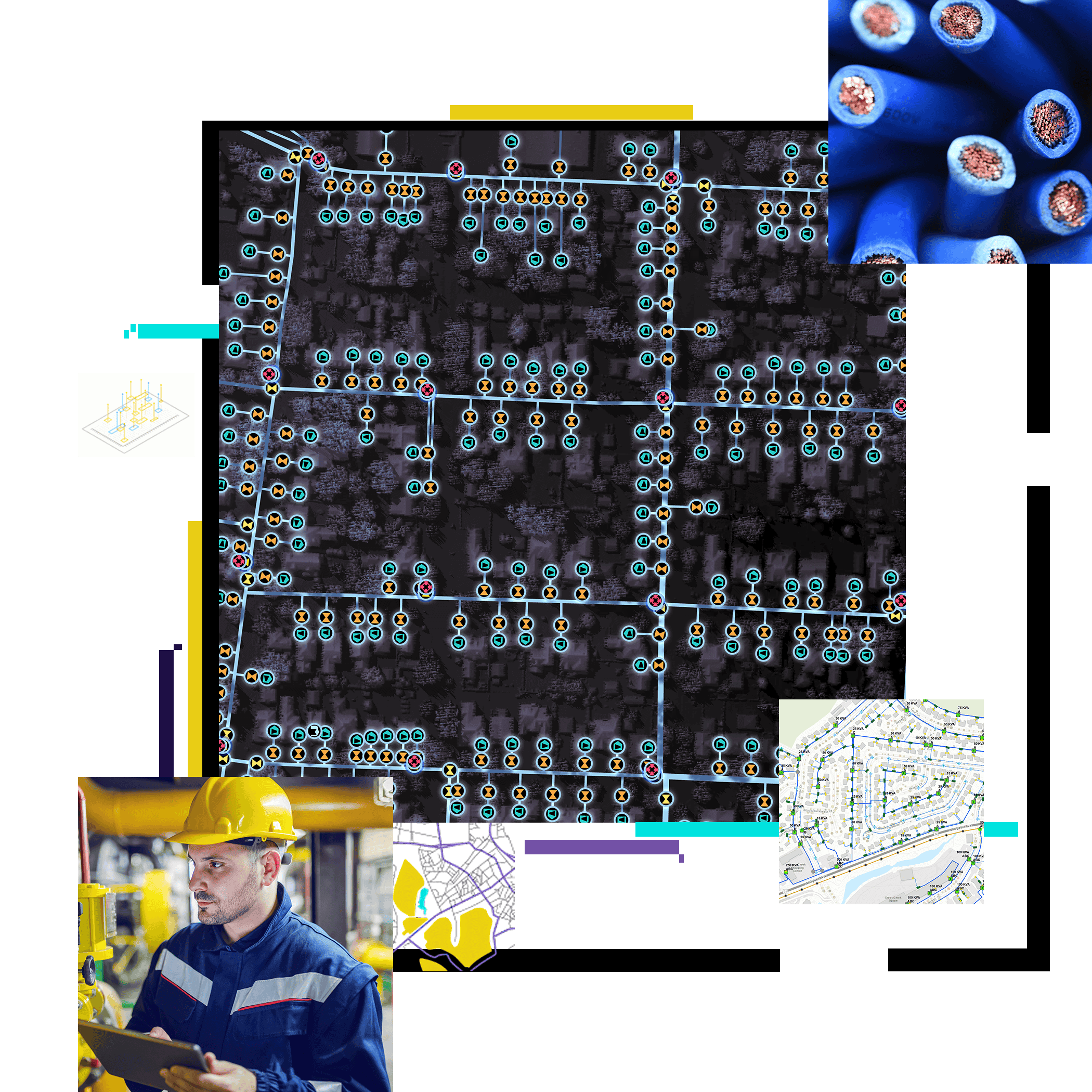
Electric transmission lines, map of energy utility network, person in hard hat

What is GIS for energy utilities?

Geographic information system (GIS) technology manages, analyzes, and maps all types of energy utility data for modern network management. The world’s most powerful GIS software, ArcGIS, drives digital transformation throughout the industry.

From asset managers to compliance officers, inspectors, engineers, and supervisors, staff across a utility organization can use ArcGIS to:

  • Access critical data in an instant for rapid response
  • Detect patterns across the network to optimize processes
  • Understand geographic context for informed decision-making
  • Monitor real-time data and predict future outcomes with a digital twin of the network

Dark gray map of energy utility network with illuminated lines and points

Energy utility industries

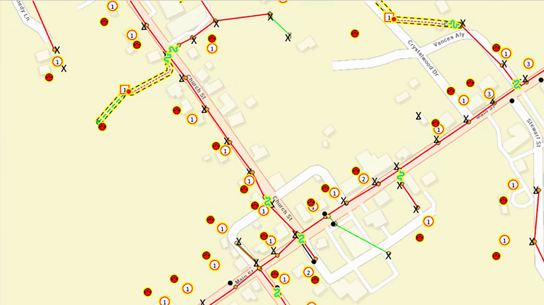
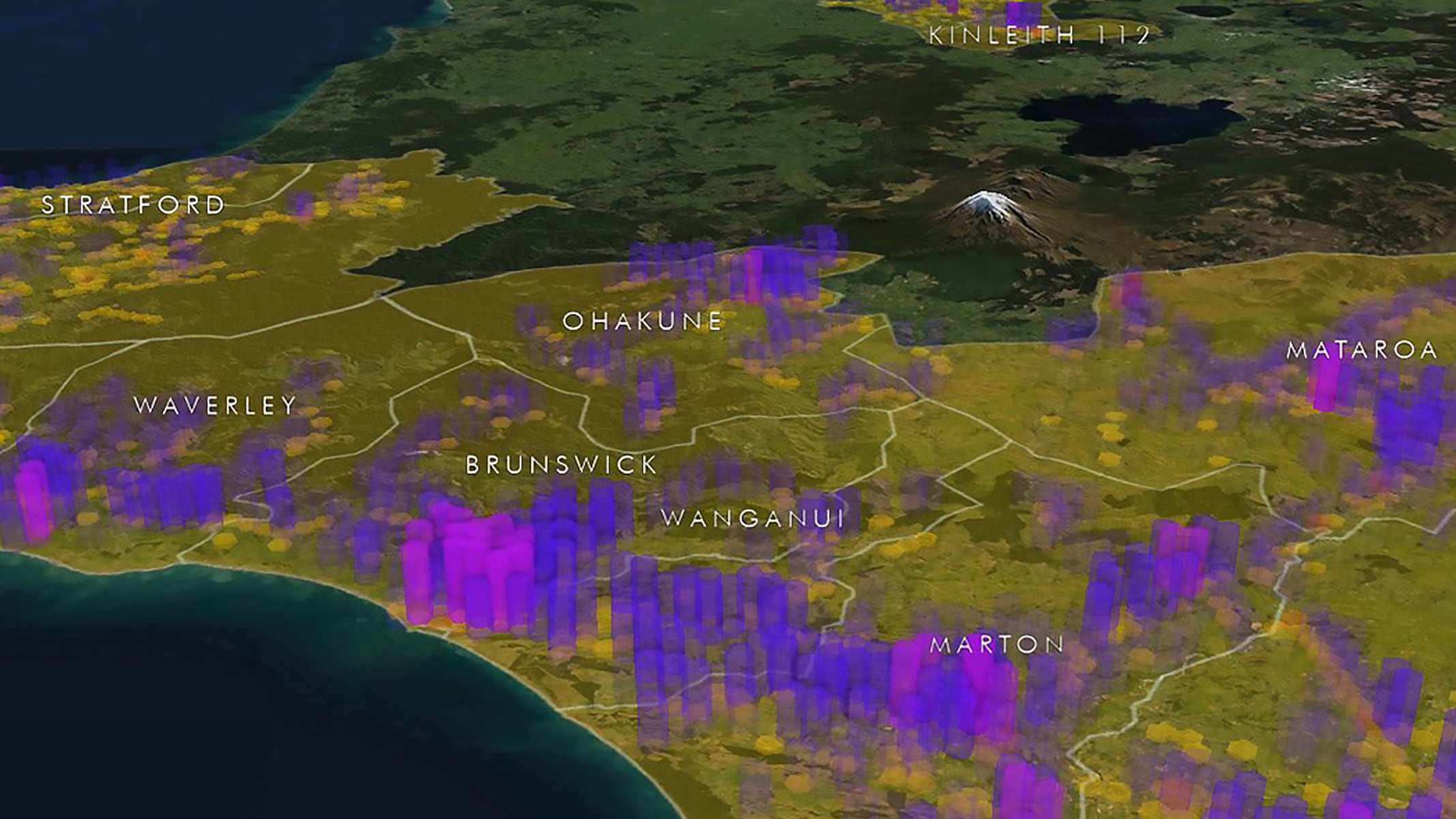
Explore how GIS promotes modernization and customer satisfaction in the energy community.

Previous
Next

Ebook

Speed digital transformation at electric and gas utilities

Discover how ArcGIS supports modern network management with modeling, interoperability, enterprise access, and data quality. Learn how innovative utility companies like Duquesne Light Company and Enbridge Gas use ArcGIS technology to transform operations and lead grid modernization.

Get the ebook
Person in an orange coat and orange hard hat holding a tablet with energy utility maps

GIS in energy utilities

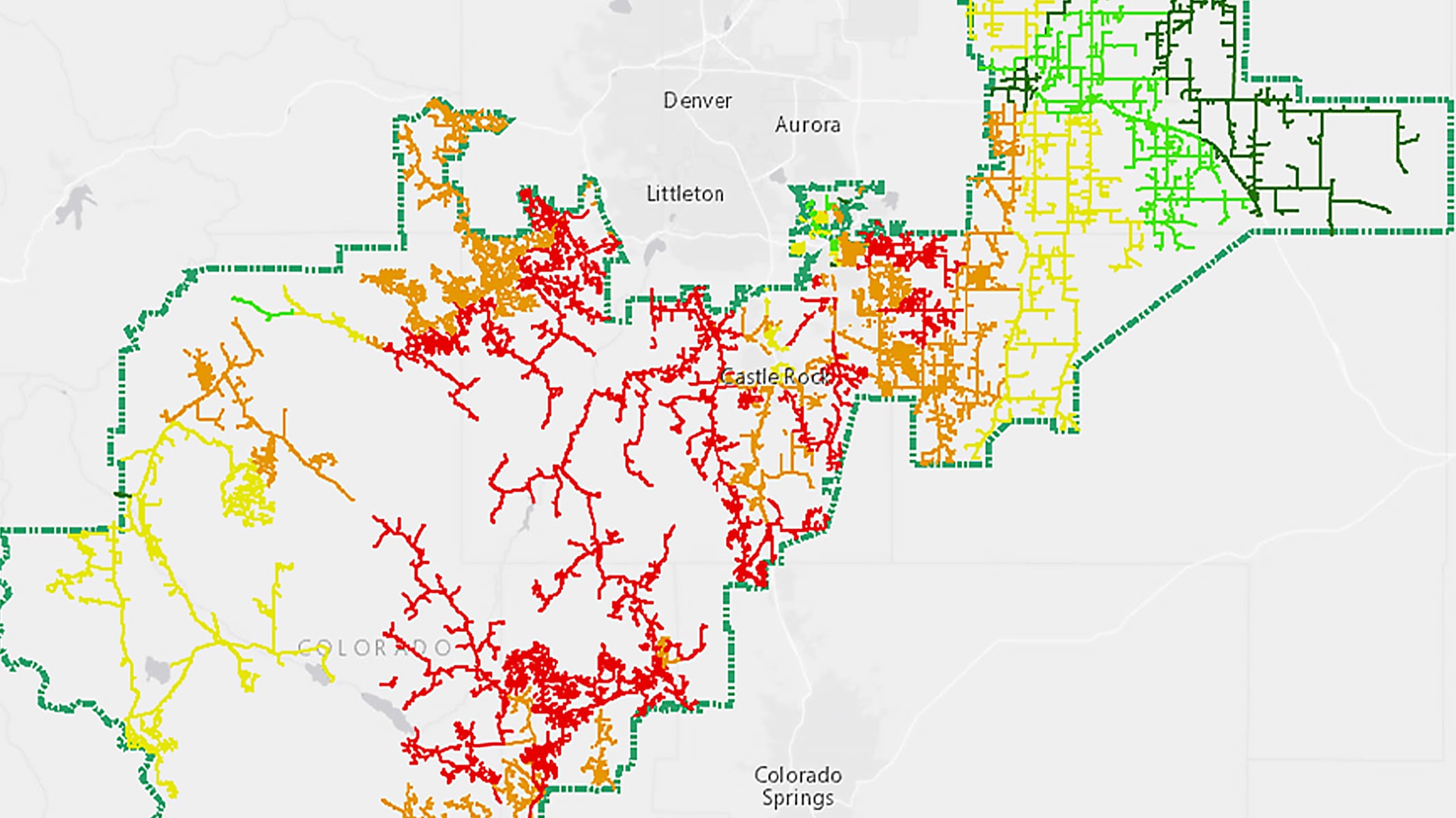
Leading energy utilities around the globe use ArcGIS technology to solve complex problems.

Previous
Next