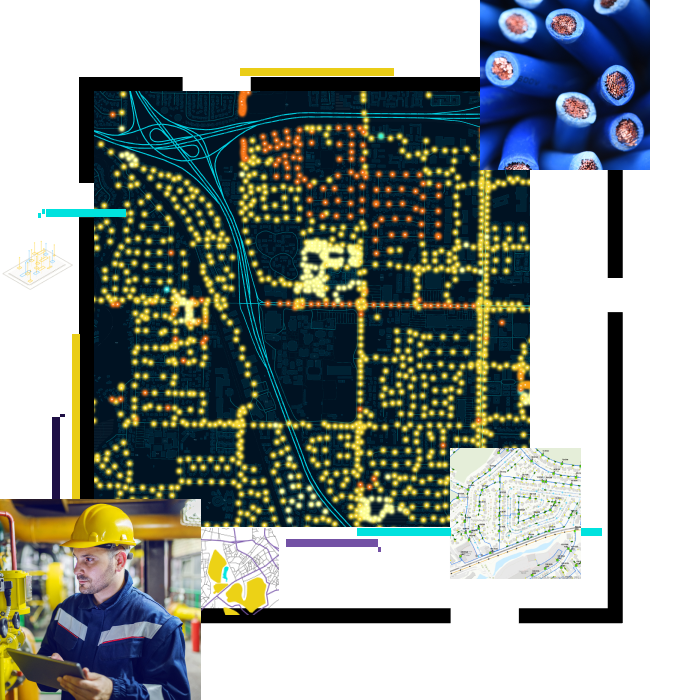
ArcGIS gives utilities a complete data model, providing ease of editing, expanding connectivity capability, and scaling to any size.
System of engagement
ArcGIS integrates all types of data, gives all users access to the data they need for better collaboration, and supports digital transformation.
System of insights
ArcGIS features real-time business intelligence (BI) dashboards and includes out-of-the-box analytics that uncover never-before-seen patterns. It reveals secrets in the data and unnoticed trends.