SUCCESS STORIES
University of Michigan
Scaling Up GIS across Campus
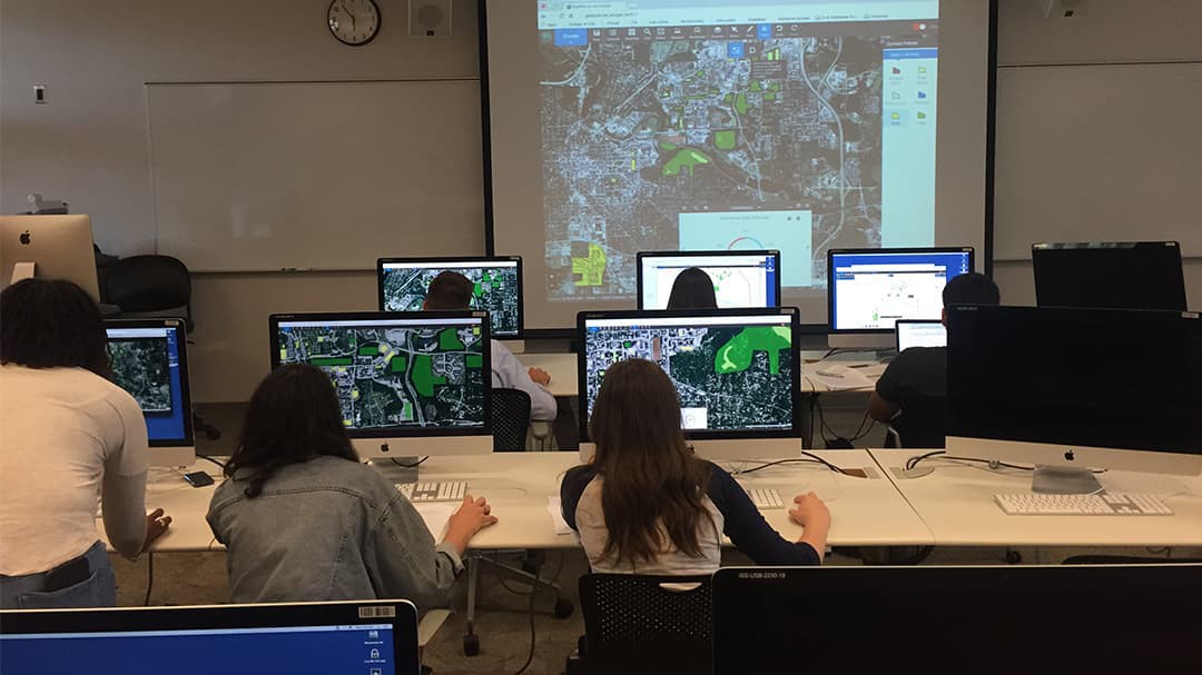
"It takes more effort to restrict access to specific units than to make GIS available to everyone," says Peter Knoop, research computing consultant at the University of Michigan. Though based in the College of Literature, Science, and the Arts (LSA), Knoop enabled autoprovisioned enterprise logins for faculty, staff, and students across the university. The result is an enterprise-class, scalable, and robust GIS environment in which independent, dispersed support staff assist with the use of GIS and facilitate its adoption in nontraditional domains, rather than spending time managing access to GIS resources. See more about this special achievement by viewing their dashboard.
Use ArcGIS Dashboards to put together your own dashboard.

Clean Wolverines Together on Campus
The class EARTH 380—Mineral Resources, Economics, and the Environment focuses on effective scientific communication, fulfilling an upper-level writing requirement for undergraduate students. It includes a semester-long project exploring alternative energy options for the university's electricity supply. The project serves as the context in which students develop their communication skills and leverage Esri's ArcGIS GeoPlanner and Esri Story Maps for several assignments. In 2017 a group of students were motivated to further explore the topic, forming the Clean Wolverines, who eventually hosted a campus meeting, Toward Carbon Neutrality at the University of Michigan: 2025 and Beyond. The group remains active, attracting new students outside and from within the course each year, and their ongoing efforts helped prompt a university presidential initiative to pursue carbon neutrality. Learn more about the course and the Clean Wolverines.
Bring inspiration to your courses by getting started with ArcGIS GeoPlanner and Story Maps.
Enhancing Digital Humanities Courses with Story Maps
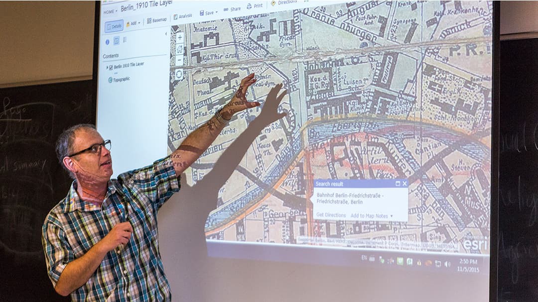
Esri Story Maps apps have become a mainstay in many humanities courses (Judaic Studies, anthropology, history, and English, to name a few) at the University of Michigan. Shachar Pinsker, professor of Judaic Studies, worked with Peter Knoop on story map assignments that help students understand the spatial relations of cafés and their key roles as centers of political, financial, scientific, and literary exchange in the late 19th and early 20th centuries. Working with a team including Knoop, Pinsker recently released an application that is a mashup of Story Maps, ArcGIS API for JavaScript, and Scalar. The app serves as a stand-alone site for exploring this topic and as a digital companion for his book A Rich Brew: How Cafés Created Modern Jewish Culture. Learn more about students' work with Story Maps in humanities courses.
Check out the Story Maps for Digital Humanities collection to help you transform your digital humanities coursework.
Innovation Pathways—GIS in Fieldwork
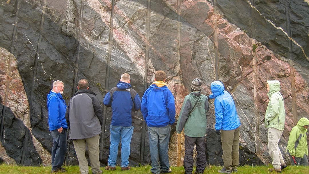
By testing new technology with a small group of motivated and fault-tolerant collaborators, Peter Knoop has found a way to test GIS technology and develop best practices to speed and ease adoption by the broader university community. This is the case for ArcGIS Collector, ArcGIS Survey123, and ArcGIS Explorer. By accompanying the collaborators in the field and providing on-site GIS and IT support, he enables them to safely try out new approaches, identifying what works (and what doesn't!). In turn, this enables Knoop and his team to train other groups to use these tools in the field on their own. Over time, the willingness of members of the Kelsey Museum of Archaeology and the university's Department of Earth and Environmental Sciences (EARTH) to experiment with innovative approaches to GIS has yielded benefits for numerous field-based teaching and research activities across the university. See GIS fieldwork in action with the Notion Archaeological Survey and EARTH field trips and field courses.
Power your field courses with these resources:
3D Reconstructions in the Field with ArcGIS Pro
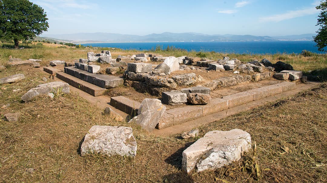
GIS is helping archaeologists at the University of Michigan and their collaborators integrate and explore spatial data from different sources and of varied scales. Using drone imagery, lidar, ground-penetrating radar, photogrammetry, geophysical measurements, and more, researchers use the ArcGIS platform to directly record data digitally and develop 3D reconstructions, aiding understanding of their site. Examples include the Notion Archaeological Survey (revealing a well-preserved and almost completely unexplored ancient city) in Türkiye, the Olynthos Project (exploring a variety of aspects of the society and economy of an ancient city in northern Greece), and the Gabii Project (studying the development and structure of archaic urban planning in central Italy). ArcGIS assists in other ways as well—for example, aiding studies of the provenance of pottery, using geochemical analysis, geologic maps, and watershed analysis for the Olynthos Project.
Get started with these tutorials on ArcGIS Pro and 3D in ArcGIS Pro.
Geo-enable your campus
with these tutorials