
Land Administration and Land Records
GIS—Essential infrastructure for effective land administration and land records
Deliver necessary systems on a single platform
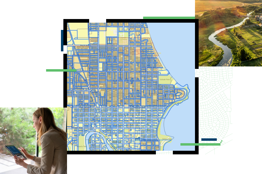
The three necessary systems in land administration are the system of record (land parcels), the system of insight (valuation), and the system of engagement (stakeholder and public engagement). GIS efficiently delivers all three on a single platform. Having these systems on a single platform allows governments to accurately represent and understand property value as well as provide secure and authoritative land records and parcel data for widespread government and public use.

Land administration and land records strategies
Previous
Next
Equitable property value
A cloud-based software as a service (SaaS) solution can deliver transformational technology to assessors. The equitable property value solution is configured to organize property data, accomplish initiatives, and deliver on your organization's stakeholder outreach goals, all in a single experience.

Inform taxpayers
Inform taxpayers of critical timelines in the assessment process and deliver clear communication on the important work you do in your community.
Deliver focused information products
Allow the public to access property data at any time and on any device with modern, easy-to-use maps and apps designed for real estate professionals and the public.
Enable collaboration
Invite trusted members of government organizations to share and collaborate with your office's authoritative data.
Simplify appeals
Deliver accurate, current information in easy-to-use apps and maps to reduce counter traffic, phone calls, inquiries, and appeals.
A Guide to Optimizing Your Land Records Workflows
Discover how assessors are transforming workflows with GIS-powered operations.

Upcoming event
Esri User Conference | July 13–17, 2026 | San Diego Convention Center | San Diego, CA

Our Community
Find out how your peers are using Esri technology to achieve their goals.
