Skip to Content

Imagery and Remote Sensing

Integrated with GIS

A geospatial system for imagery-driven insights, deep understanding, and decisive action

Find the right solution

Bring geospatial technologies together

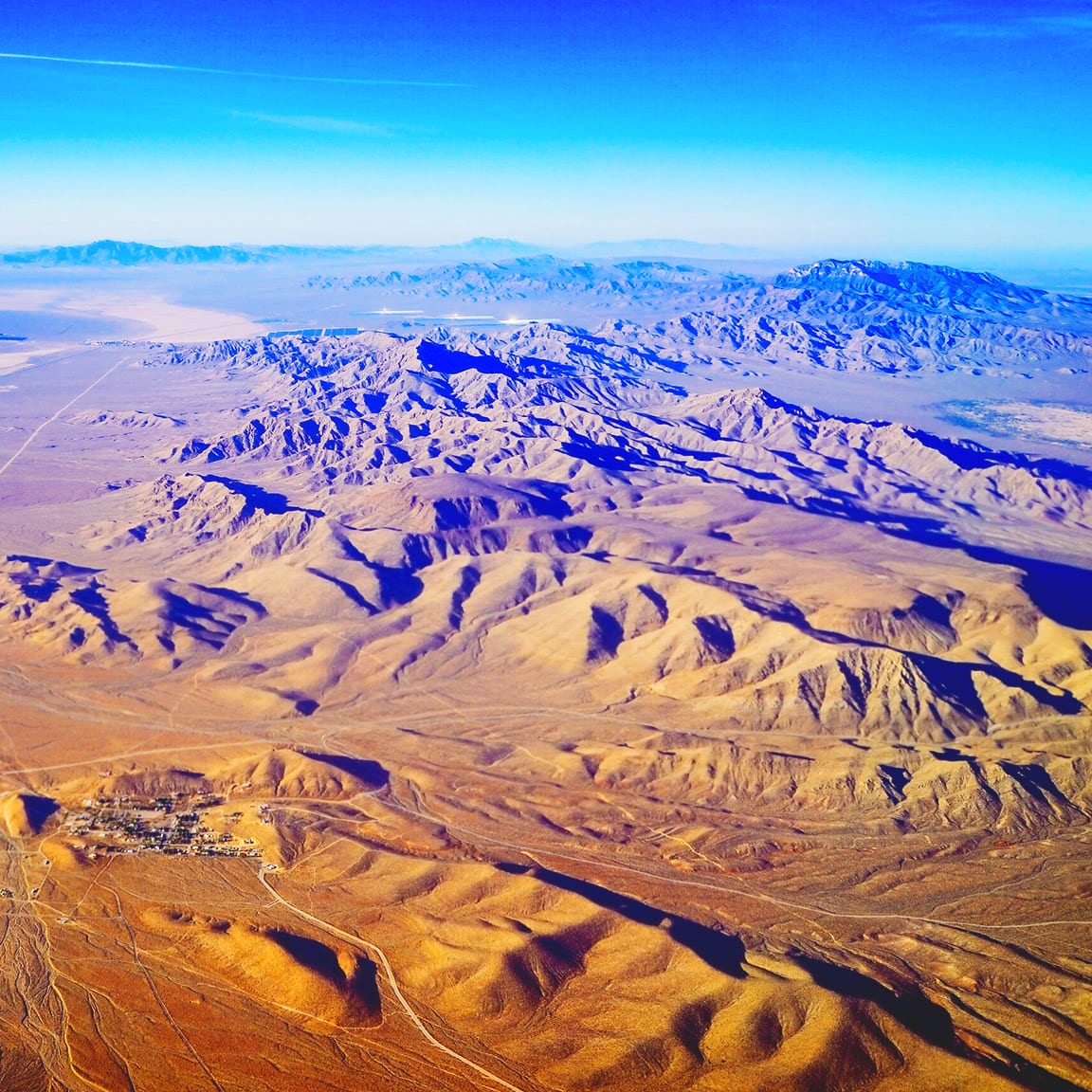
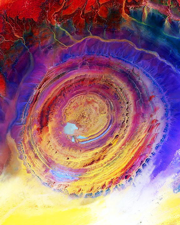
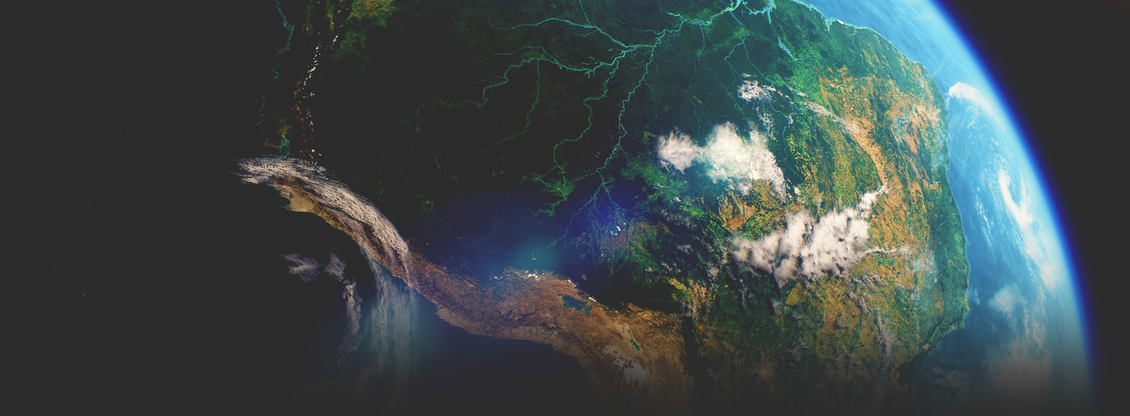
Imagery is at the forefront of an information revolution

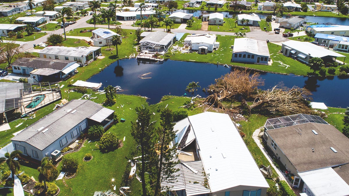
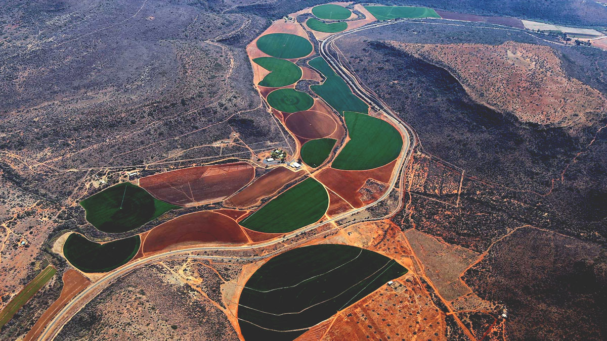
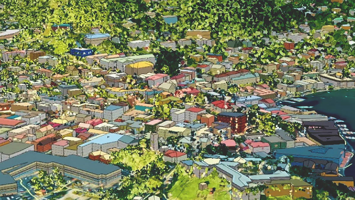
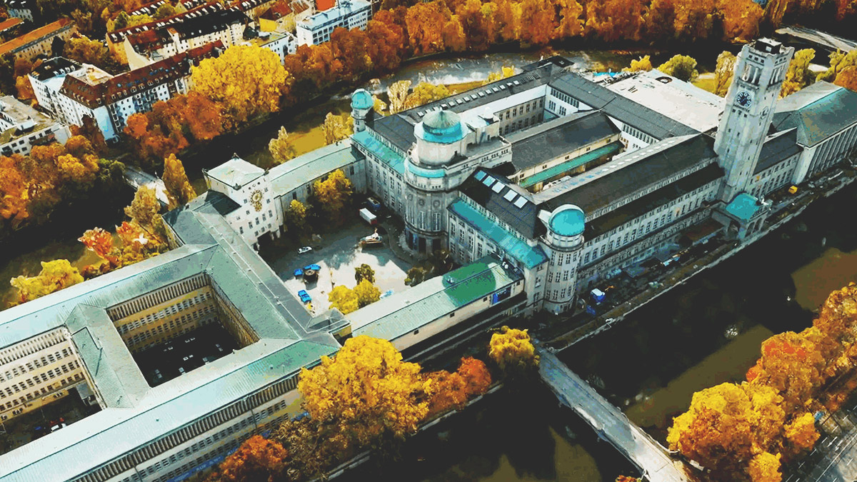
In business, government, science, and research, global imagery powers visibility into operations and opportunities. Now, drones, crewed aircraft, and satellites capture more imagery than ever, creating a near real-time picture of our entire planet. With imagery and GIS combined in a geospatial technology system, you can unpack more information from every pixel—and transform static images into dynamic digital representations of our world.

A comprehensive system for imagery

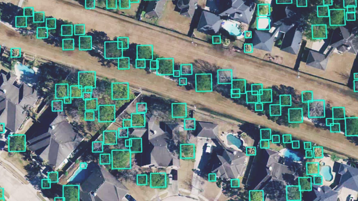
Perform every imagery and remote sensing workflow in one software environment, from planning drone flights to training deep learning models.

More ways to use your remotely sensed data

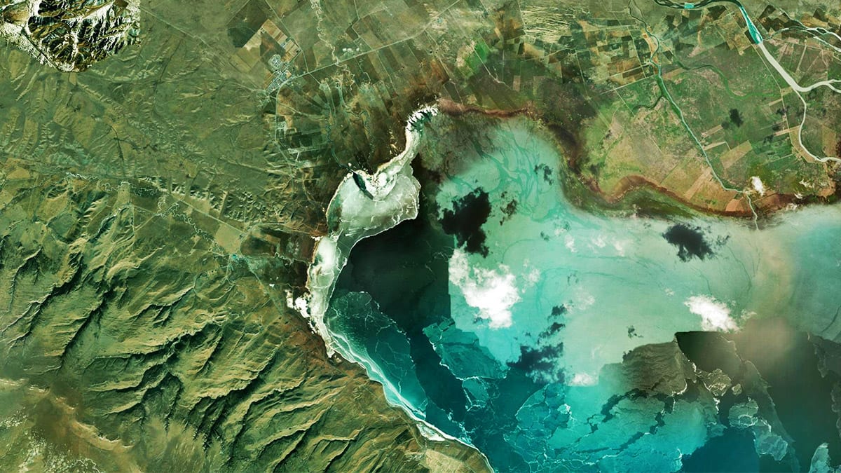
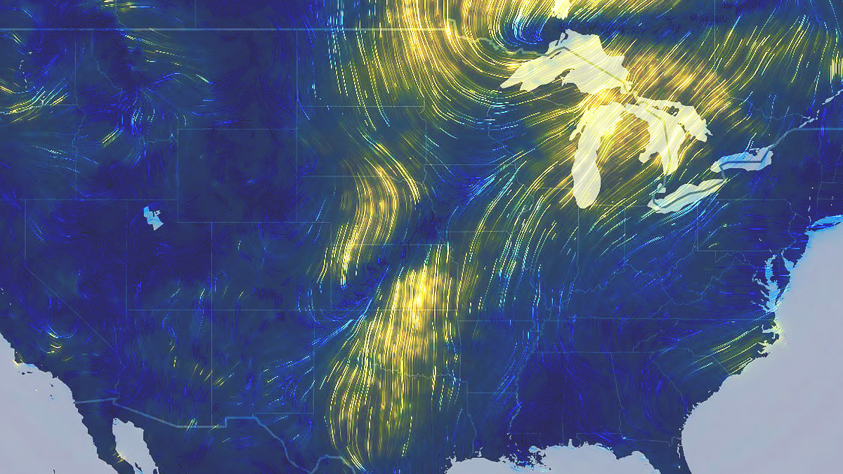
Access powerful data management, mapping, and analysis tools backed by ArcGIS, the leading location intelligence software worldwide.

A geographic approach to data integration

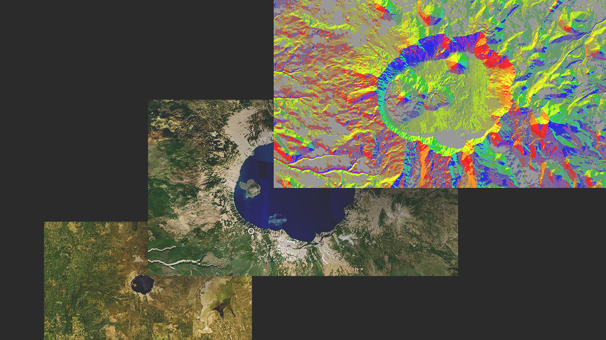
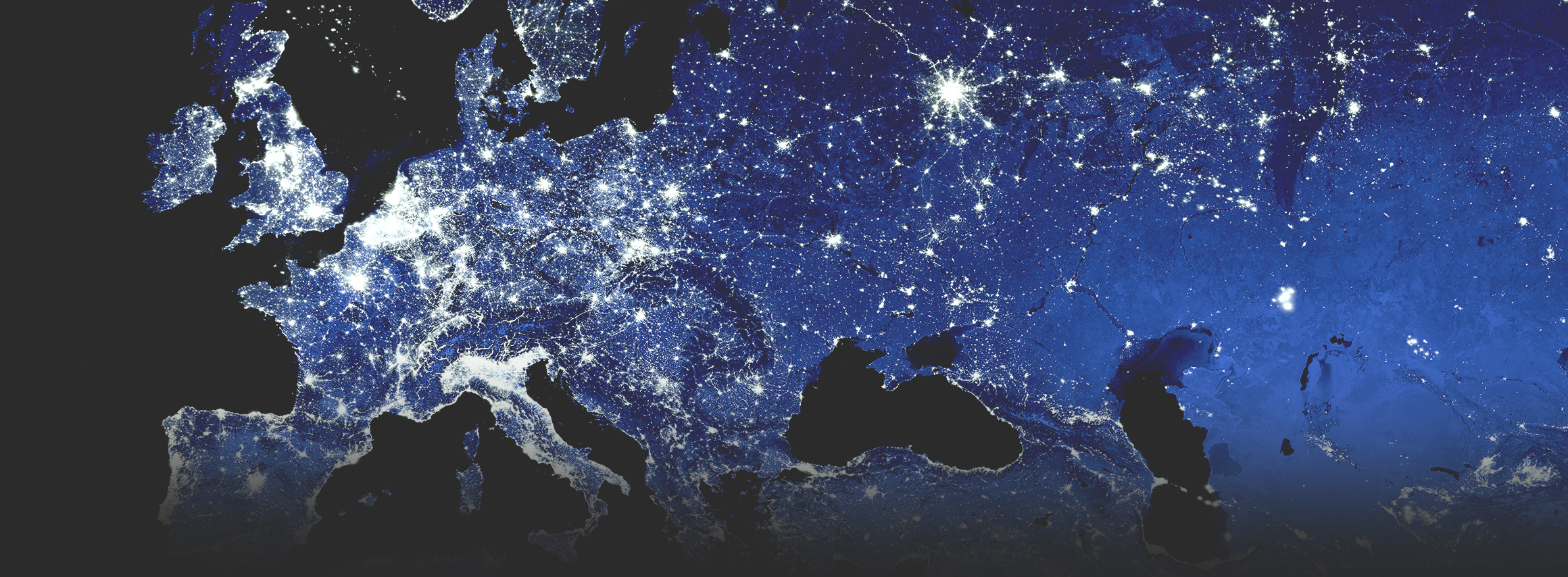
Use GIS to seamlessly combine imagery with other geospatial data—and ultimately create richer information products that drive smarter decisions.

Aerial imagery of a mountainous desert region, overlooking a road through a pass in the mountains

See beyond the human line of sight

Remote sensors capture earth observations about distant places and invisible conditions, from mapping the ocean floor to visualizing climate change.

See what's possible with imagery and ArcGIS

Esri software is backed by 50 years of market leadership in location-based technology. ArcGIS currently powers business intelligence at more than 350,000 enterprise organizations worldwide.

previous
Next

One solution for local and global challenges

Geospatial technology, inclusive of imagery and GIS, unlocks the potential of remotely sensed data.

Supports various sensor data sources

Satellite
Crewed aircraft
Drone
Terrestrial
Bathymetry

Transform how you work

CAPABILITY

Content

Explore imagery from an extensive array of authoritative sources, available through ArcGIS Living Atlas of the World and Esri partners. Easily combine sourced imagery with data from your own collections. ArcGIS makes use of content from any type of sensor, in any format or modality.

Explore content capability
Satellite imagery of a green, mountainous coastal region

CAPABILITY

Management

Make imagery accessible across your organization with tools for hosting, managing, and streaming imagery for use in products and services. ArcGIS includes scalable image management options that integrate with Esri software for performing analyses, creating maps, and sharing data organization-wide.

Explore management capability
Three panels show a lake from a distance, the same lake close up, and the lake with remote sensing data in red, yellow, and blue

CAPABILITY

Reality Mapping

Rapidly create highly accurate imagery products in 2D and 3D. ArcGIS includes reality capture and photogrammetry tools for generating feature-rich maps, models, and orthomosaics from all types of imagery and raster data, plus tailored software for drone mapping integrated with fleet management and flight planning.

Explore mapping capability
Off-nadir imagery of a large government building surrounded by trees with yellow and orange leaves

CAPABILITY

Analysis and AI

Apply the ArcGIS system's powerful analysis to imagery, including change detection, multidimensional, and video analyses. And combine image analysis with AI—use pretrained or custom models to analyze large volumes of imagery faster, automate shape and pattern recognition, and extract insights at scale.

Explore analysis capability
Drone imagery of a residential neighborhood has been analyzed to count trees, which are identified by green boxes

CAPABILITY

Visualization and interpretation

Look beyond images and their immediate data outputs. Give anyone—decision-makers, customers, and the public—the power to interpret imagery and take informed action. In ArcGIS, you can easily create and share interactive applications, impactful reports, and visual stories that include imagery and remote sensing data.

Explore visualization
A map of the United States shows land in dark blue with curved yellow lines indicating weather patterns

Flexible deployments

Deploy on desktop workstations, in the cloud, or across your enterprise. ArcGIS offers imagery and remote sensing systems that meet your scalability and security needs.

previous
Next

Need help finding the right solution?

Schedule a conversation with one of our experienced sales consultants. Tell us how you're using imagery and remote sensing data now, and we'll show you where a comprehensive geospatial system can take your work next.