CASE STUDY
Transforming services with geospatial innovation
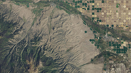
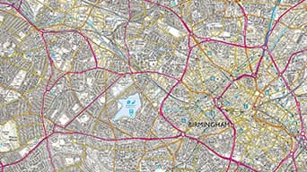
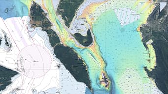
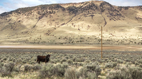
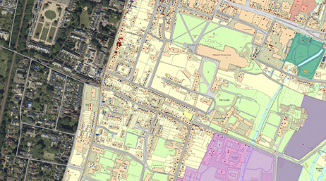
National Mapping
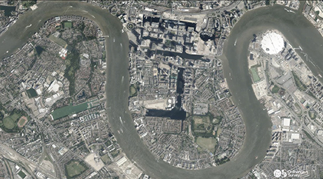
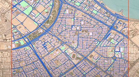
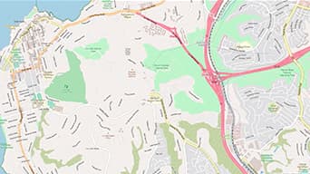
Ordnance Survey is driving transformational change, re-imagining how it captures and shares changes to detailed and current national basemaps.