HURRICANE MARIA RESPONSE EFFORTS
Share Critical Information with Citizens
Challenge
Disasters are disruptive and traumatic for the communities involved. It is crucial for emergency management agencies to ensure that the public remains not only engaged during the response but also well informed. It is incumbent upon government agencies to maintain this type of transparency.
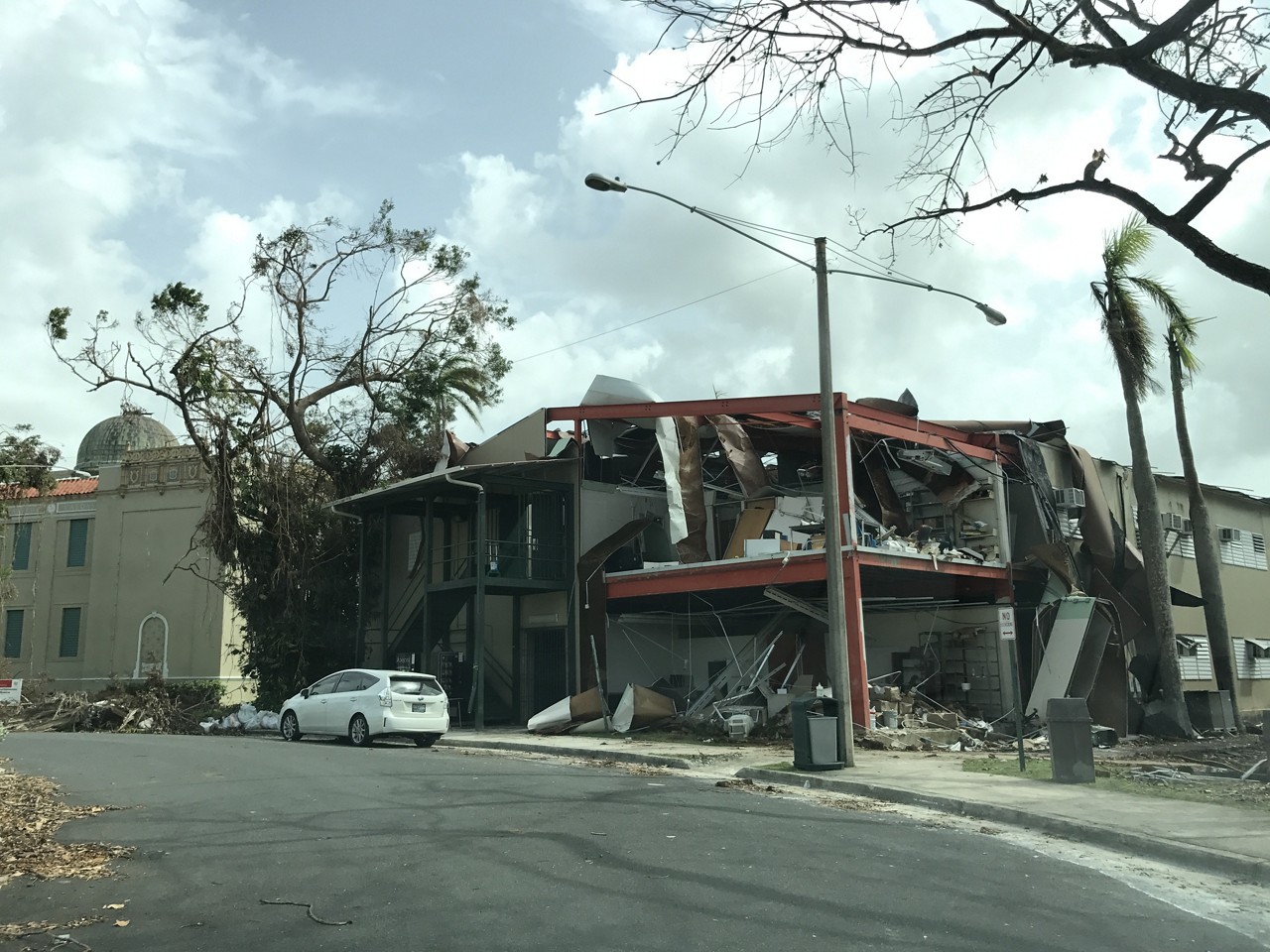
After Hurricane Maria, response teams helped local municipalities in Puerto Rico digitize their data collection efforts and workflows to not only help them track their progress clearing roads of downed trees and debris, but to provide vital information to citizens on which roads and bridges were open for transit and which ones were not.
But having a solution to communicate with the public is only good if the solution can sustain the sudden surge of information requested from the public and the media. Esri's maps are designed to inform the public in real-time with a living picture of events as they are unfolding, and they are built and supported by Esri’s geospatial cloud that is designed to scale with the increased demand on the web.
 Photo by Aurelio Castro
Solution
Esri’s solution for Emergency Management operations allows organizations to educate, inform, and warn the public with clear, definitive incident information and alerts about ongoing events. This ensures your agency’s authoritative information, as well as up-to-date real-time information such as emergency alerts, traffic, or weather, can be shared with the public as operational decisions are made. This lets citizens know precisely where hazards exist, where evacuation zones are located, and where to evacuate when needed. And when the public, and media, demand for this detailed information spikes, the solution is ready to withstand the load online.
Contact sales
Speak with an expert today about how Esri's solution for emergency management operations can transform your response efforts and provide a powerful mapping platform to communicate with both the public and media.