Hurricane maria response efforts
Maintaining Real-Time Situational Awareness
Challenge
No one in Puerto Rico anticipated that the aftermath of Hurricane Maria would be quite as bad as it was. Scrambling to get operations under way, various teams in charge of the response started printing out thousands of paper maps. It was immediately clear that this was causing many agencies to duplicate efforts. Another problem—inherent to many incidents—was rapidly changing conditions across the island. To effectively respond to disasters and coordinate efforts, agencies needed accurate, up-to-the-moment information. Decisions being made on one paper map were not being updated and shared on the thousands of others being used to coordinate the response.
Trying to collect and manage the various resources quickly became an issue. The data became disorganized and out of date, which led to the dissemination of information that was not accurate given the dynamic nature of the event. Collaboration and data sharing were necessary for a fast and effective response, and the teams needed a more modern approach. Using Esri's solutions, response teams were able to stay connected with each other and share secure information with other first responders for real-time, shared situational awareness. This included information from across the island on roads, hospitals, gas stations, supermarkets, and criminal incidents.

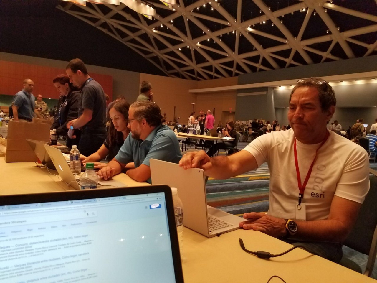
Hurricane Maria COE, Puerto Rico. Image provided by Aurelio Castro.
Solution
As part of an integrated solution for emergency management operations, Esri provides a capability that enables real-time situational awareness for responders. This means that weather conditions, traffic, and other information like hospital capacity are constantly available and updated. This critical information is accessible via apps that provide real-time access to information that supports data-driven decisions that can help save lives and property.
Esri's solution also provides personnel with mission-critical updates from any location. Whether your team is working in the operations center monitoring the situation and planning for the next operational period, conducting real-time operational briefings, or deployed to the field for coordination, these updates are immediately available wherever they are needed most. To support your decision making, Esri provides you with ready to use real-time information from partners like the federal government and the private sector. This includes mission-critical data that helps you understand where and when resources are needed and puts your operational data into better context.
If communications and power are down, data can be collected offline in the field and synchronized again when communications networks are available. If communications are running normally, the data being collected in the field feeds a live dashboard that provides your team with a real-time view of the data being collected for missions like damage assessment.
Contact sales
Speak with a representative today about how Esri's solution for emergency management operations can transform your response efforts through a real-time, integrated solution.