Skip to Content

Meet with the Esri Emergency Management Team

We invite you to learn more about geospatial data and technology.

About Esri

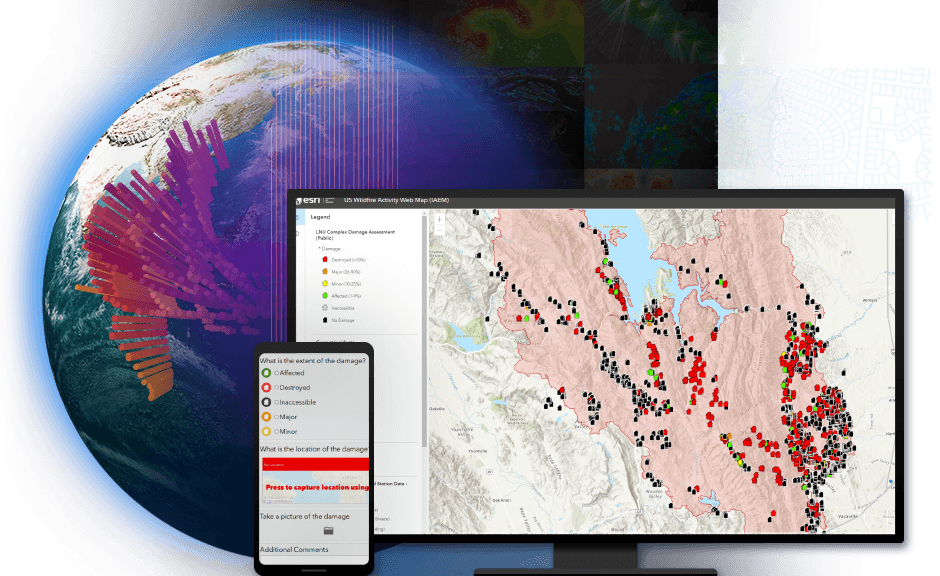
Creating safer, less vulnerable communities today requires a modern approach to understanding threats and hazards that are more complex, costly, and devastating than ever. Esri is the global leader in geographic information system (GIS) technology, and agencies around the world rely on Esri's ArcGIS software to plan for and mitigate complex threats and hazards and coordinate response and recovery efforts when disasters and other emergencies occur.

With location intelligence and emergency management solutions from Esri, you'll develop a deeper understanding of risk in the new normal and maintain real-time data insights to help you anticipate your next move.

ArcGIS Supports the 2020 Rose Parade

The Rose Parade [per Tournament of Roses website] is one of the most beloved spectacles in US history. It attracted nearly 1 million people to the streets of Pasadena, California, and an unparalleled 37 million TV viewers in its 131st year. See how ArcGIS facilitated multiagency collaboration and provided real-time situational awareness for decision-makers.

Watch the video
Two emergency response workers standing in front of a fire truck and looking at a map displayed on a tablet

Get Started