LOGISTICS

Vietnam’s Strategic Use of Digital Twins for Port Development

GIS-powered digital twins guide port expansions to meet growing economic demand and keep global supply chains moving.

Discover geographic information system (GIS) technology

Learn about GIS

Transforming the future of shipping

Whether it’s a new smartphone, flat-screen TV, or computer, the “Made in Vietnam” label has become ubiquitous in global commerce.

Vietnam has rapidly emerged as a critical hub in the worldwide supply chain. Home to manufacturing operations for tech giants like Samsung, LG, and Intel, the nation now stands as the third-largest exporter of electrical goods and components to the US, trailing only China and Mexico.

This explosive growth, however, has strained Vietnam’s maritime infrastructure. Of the country’s 320 ports, only a few can manage heavy cargo traffic—creating a significant bottleneck for continued economic expansion.

Recognizing this challenge, the Vietnamese government has launched a major maritime transformation initiative aimed at doubling the country’s cargo handling capacity by 2030. This comprehensive plan involves 40 national transportation projects across road, rail, air, and sea, including extensive dredging operations and transportation network development. Yet amid this aggressive expansion for a world-class port system lies a parallel commitment: protecting Vietnam’s treasured natural landscapes, from its lush forests to its world-renowned beaches. The catalyst for turning the country’s bold vision into reality? A sophisticated digital twin of the entire port system.

Portcoast Consultant Corporation, a leading engineering firm based in Vietnam, has developed an immersive 3D experience that shows terrain, physical structures, and operational assets with remarkable precision. This technology allows stakeholders to visualize construction plans, simulate operational scenarios, and identify potential challenges—enabling iterations and troubleshooting before any investments. 

“Every decision you make, when you have this data, will be better,” said Khoi Tran, Portcoast’s vice director for the company’s Digital Transformation Center.
 

Vietnam prime minister Pham Minh Chính and Portcoast board chairman Tran Tan Phuc discuss the Cai Mep–Thi Vai port system digital twin with stakeholders.

Making a digital twin, rooted in location

Portcoast began the project by going beyond traditional surveying, deploying drones and sensor-equipped vehicles outfitted with lidar and 360-degree cameras to scan the port. This was the basis for the comprehensive digital twin that serves as the project’s foundation.

A digital twin merges physical and digital worlds through virtual replication. For ports, this technology transforms complex maritime operations into an intuitive interface where stakeholders can monitor vessel movement in real time from any location. The interactive, video-game-like visualization enables remote observation of waterway traffic and supports data-driven decision-making to optimize navigation efficiency—all without requiring a physical presence at the harbor. 

In addition to being a detailed view of the present, digital twins can visualize historical vessel movements or simulate future scenarios with equal precision and detail.

What ties these digital twins to reality is location, delivered by geographic information system (GIS) technology. Esri’s ArcGIS technology, combined with building information modeling (BIM), has been at the foundation of Portcoast’s digital twin work in Vietnam.

“From everywhere in the world, no matter where they are in the world, [stakeholders] can go into the same web scene. They can see all the data, what’s happening on-site,” Tran said. That includes information about land use, building models, paper-based reports, 3D data, water depths, and more. “All information is in one unified data center.”
 

Cargo is docked and tagged for tracking before it ships.

Speeding repairs and minimizing disruptions

Portcoast’s innovative approach faced a critical test in July 2023 when an incident threatened to disrupt the lucrative flow of imports and exports in Vietnam’s Cai Mep International Terminal.

A container ship veered off course and collided with a docked vessel, causing a dock to collapse. As twisted metal debris threatened operations at the vital trade hub, the potential ripple effects across global supply chains loomed large.

Within days, Portcoast deployed a specialized team equipped with advanced laser scanners and amphibious drones to capture comprehensive 3D data from the most difficult-to-reach areas—beneath damaged piers and underwater, where conventional assessment was impossible.

What made their response extraordinary was the preexisting digital twin, which showed every minute detail of the dock before the collision—from the precise location of each rebar segment to the exact underwater topography. 

Adding the newly gathered images of the port’s damage to the digital twin allowed for compelling before-and-after images. It showed port leaders precisely what needed to be repaired and how. Discrepancies could be identified early, and structural elements that needed to be rebuilt could be verified against the originals.

By visualizing this information geospatially, they’ve been able to support decisions that impact not only the immediate infrastructure but also the surrounding environment and regional logistics.
Marc Goldman
Director of AEC Industry at Esri

Growing Vietnam’s maritime industry

Portcoast, originally part of Vietnam’s Ministry of Transport, became a private consulting company in 2004. In the last eight years, it has focused on using GIS, BIM, and advanced surveying technology.

The result isn’t just a highly realistic picture, but a valuable resource during every stage of the project’s planning, construction, and, ultimately, its operations. 

As Portcoast’s lidar and camera-equipped vehicles drive along a route, scanners and the camera are capturing imagery data of the road surface and road markings, the trees flanking the route, the electrical wires, the traffic signs—everything a driver would see in real life. That data gets converted into the 3D view, the digital twin.

“Portcoast is a great example of taking complex engineering data and making it accessible to a broader team,” said Marc Goldman, Esri’s director of AEC, in an interview for aeccafe.com. “By visualizing this information geospatially, they’ve been able to support decisions that impact not only the immediate infrastructure but also the surrounding environment and regional logistics.” 

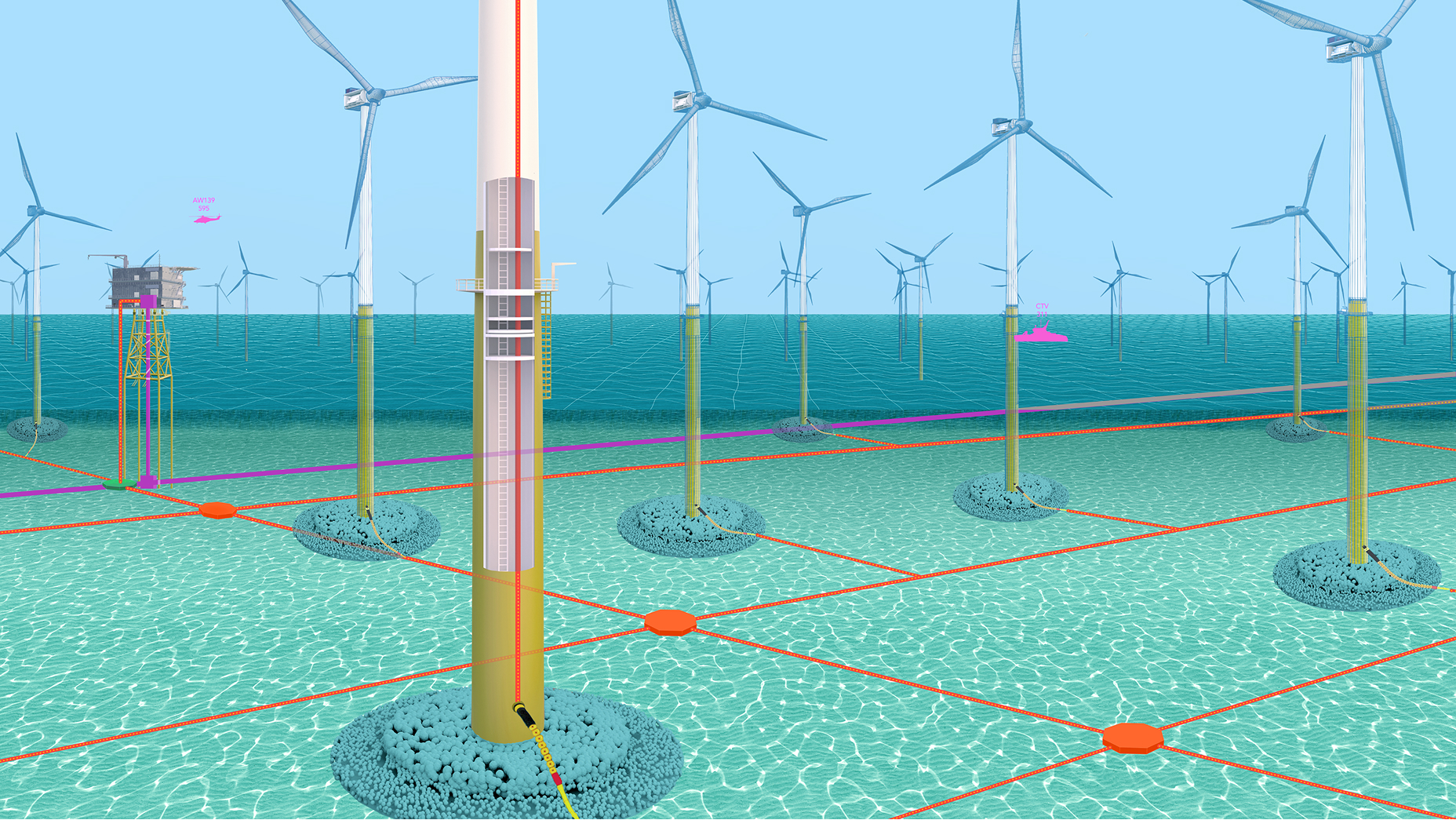
Portcoast’s success is part of a global trend to bridge the physical world with operational digital twins. Organizations around the world have been turning to 3D GIS workflows and models for asset monitoring, mission planning, and risk analysis to make better decisions.

None of Portcoast’s projects begin with the technology, though. They start with a better understanding of what their client needs. Tran said the company first asks what a customer wants to get out of a digital twin and what they want to manage—whether it’s assets, a workforce, machinery, or buildings. They discuss tools to achieve higher levels of operational visibility, including Internet of Things (IoT) sensors, cameras, GIS maps, and geofenced zones.

“Enhanced vision increases efficiency, mitigates risks, reduces costs, and reduces environmental impact,” Tran said. “We know the value it brings to projects.”

As Vietnam moves ahead with its maritime expansion, Portcoast’s innovative digital twins will be instrumental in planning, designing, and engineering that future.
 

A digital rendering shows the scale and complexity of the global shipping hub.

Related articles

Explore more examples of how leaders in business and government are using GIS to enhance analysis, operations, and decision-making.

Previous
Next

What is GIS?

Learn more about the products used in this story

Discover geographic information system (GIS) technology, the mapping and data analysis software that’s powering business decisions, supporting government operations, and quietly changing the world.

Learn more about GIS